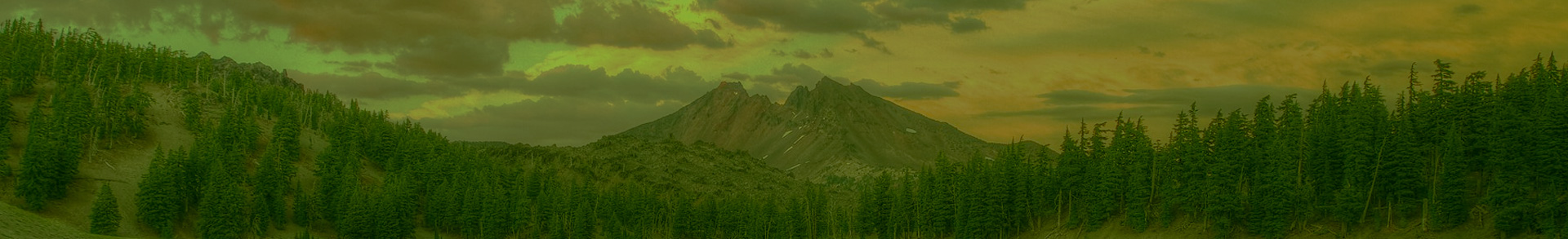
Today, we are presenting to you Kentucky Falls (no, not the haircut), located west of Eugene in the Siuslaw National Forest in Oregon’s Central Coast Range. This out-and-back hike takes you through ancient Douglas-fir forests to three incredible waterfalls.
-----------------------------------------
Kentucky Falls - The Hike:
Distance: 4.4 miles
Difficulty: Moderate
Elevation Gain: 800 feet
First, Some History: Like last week’s hike in Opal Creek, visiting the Kentucky Falls area is like taking a step back in time to a period before the Coast Range was impacted by extreme timber-harvesting. The Kentucky Falls area was largely untouched by the early logging practices that occurred in other areas of the Siuslaw National Forest and reduced thousands of acres of forests in the Coast Range. In fact, the Kentucky Falls area is part of one of the largest intact forest areas in the Central Coast Range, amounting to 4,000 acres of unroaded area. That being said, you are unable to entirely avoid the impact of logging en route to this hike. The drive to this area goes through a patchwork of privately-owned and BLM-managed lands that have been heavily logged.
How to Get There: From Eugene, go west on Oregon Route 126 for 33 miles. Turn left at Whittaker Creek Recreation Area between mile markers 26 and 27. Continue for 1.6 miles, and turn right at the Whittaker Creek sign to cross a bridge onto BLM Road 18-8-28. Continue for 1.5 miles, and then turn left onto Dunn Ridge Road (Road 18-8-28.1). Continue on this road for 7 miles until you reach a T intersection where the pavement ends. Then turn left onto Knowles Creek Road (Road 18-8-9). Continue for 2.8 miles and and then veer right onto Forest Road 23. Continue for 1.6 miles to a second T intersection and turn right onto Forest Road 919. Continue for 2.8 miles to Kentucky Falls Trailhead on the right. Some of these logging roads can be bumpy and potholed, so drive with care.
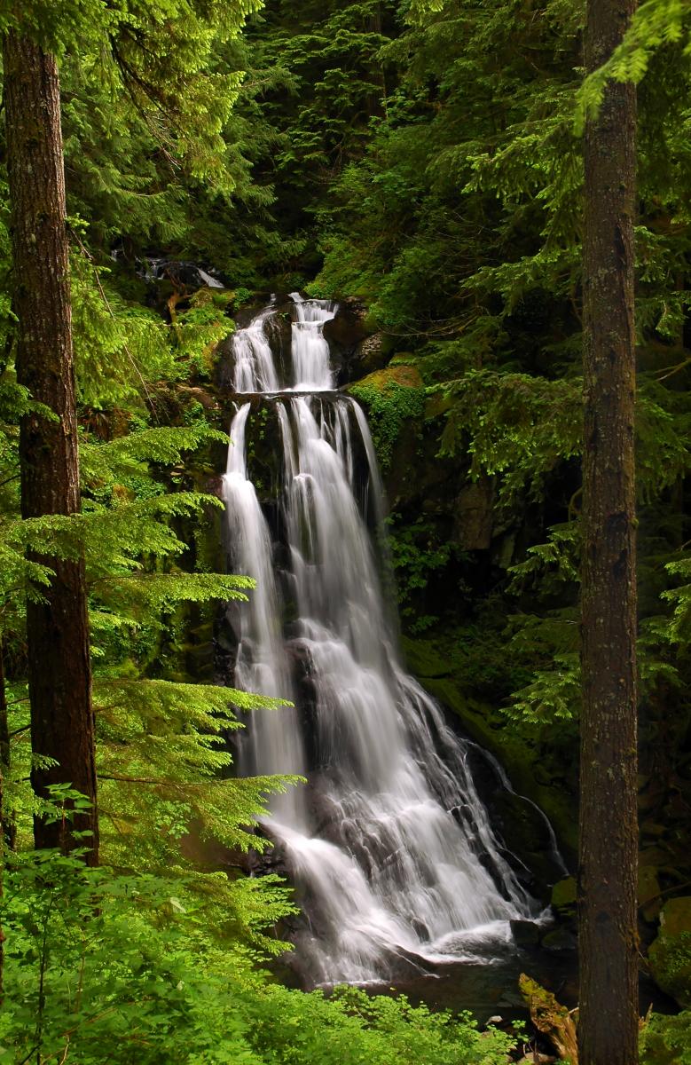
Hike Description: From the trailhead, cross the road and Kentucky Creek to reach the start of the trail. The trail descends through an old-growth Douglas-fir forest, and after about three-quarters of a mile you will reach the base of the hundred-foot Upper Kentucky Falls. In about another 1.4 miles, after a switchbacking descent through the Douglas-fir and western hemlock forest, the trail ends at an observation deck overlooking the impressively tall and powerful Lower Kentucky Falls and the North Fork Smith Falls. These two falls are located at the confluence of the Kentucky Creek and Smith River. After taking in the awe-inspiring view, you can follow a smaller trail that scrambles down from the deck to the river’s edge (be careful on the slick rocks!) for an even better view of these twin falls.
To return to the trailhead, head back uphill and take the same trail back. Be sure NOT to take the right-hand downhill trail about a quarter mile uphill from the falls (this trail, the North Fork Smith River Trail, continues along the river another 6.5 miles to the North Fork Smith Trailhead).
-----------------------------------------
Want more hikes like this? Check out our book, Oregon’s Ancient Forests: A Hiking Guide, to discover 90 other awe-inspiring hikes like this one! The book also has thorough explanations of what makes ancient forests so unique, what types exist in Oregon, where they are, who manages them, why so few still survive, and what threats they continue to face.
Follow along for book updates and events on Facebook at Oregon’s Ancient Forests, and Instagram @oregon_ancient_forests. And in return, we’d love to follow along on your ancient forest adventures! So be sure to tag your photos with #OregonOldGrowth and #ORAncientForests.
You are also invited to our upcoming book release celebrations, happening in locations around the state. Click here for more info on events, or check out our Facebook page.
For more hikes and outdoor adventures, check out our suggested outings page.