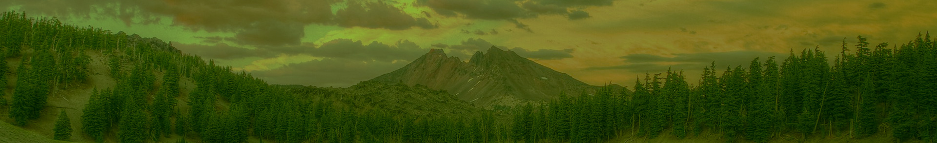
With summer coming to a close, we will soon be wrapping up our series of featured hikes from our new hiking guide: Oregon’s Ancient Forests. But before we go, we have to share this lovely hike to Twin Lakes in the Umpqua National Forest. The Twin Lakes area offers a sampling of the best of the region: spectacular wildflower meadows, mountain views, and ancient forests recovering from a 2017 fire.
First, Some Background on Forest Fires:
On this hike you’ll see that although some of the forest near Twin Lakes burned, the place is not devastated. While fire disturbs Oregon’s forests, it also represents another way that nature renews itself and shapes our living landscapes. In fact, fire is a key process that impacts forest succession, structure, and biodiversity. Over time, different regions and forest types have evolved with different fire regimes, and so have individual tree species. For example, some species, like Ponderosa Pine, have evolved to be tolerant of fire and have thick bark that protects their cambium (the living layer of a tree just under the bark) from fire. And other trees that are killed in fire still work to rejuvenate the forest by becoming snags and down logs that stabilize and enrich the soil and provide much-needed habitat for species like woodpeckers.
It is also important to note that the natural cycles of fire have been disrupted since Oregon’s settlement by Euro-Americans. Many of the largest and most-fire resistant forests are now less resilient to fire due to logging. And fire management policies have sought to prevent and put out fires whenever and wherever they start, which has led to an unnatural buildup of fuels and dense undergrowth in areas where frequent fire was the norm. And once the fires are put out, the burned trees are often removed - a practice known as salvage logging - which alters the natural forest structures in the aftermath of fires. On a larger scale, climate change has affected weather conditions as well, thereby affecting fire severity. All this to say, in order to have a thriving ancient forest, fire needs to be tolerated in and restored to its natural role. You can learn more about fire’s role in forest ecology online at Thriving with Fire, or in our new book, Oregon’s Ancient Forests: A Hiking Guide.
-----------------------------------------
Twin Lakes - The Hike
Difficulty: Moderate
Distance: 5.6 miles round trip
Elevation Gain: 800 ft
How to Get There:
From Interstate 5 in Roseburg, take exit 124. Go through downtown Roseburg, following signs for Crater Lake/Diamond Lake and Oregon Route 138E, making first a left, then a right turn to get on Diamond Lake Boulevard. Travel roughly 50 miles east of Roseburg and turn left off of OR 138 onto Forest Road 4770 at a sign for the North Umpqua Trail and Twin Lakes just after crossing a bridge over the North Umpqua River. Follow gravel FR 4770 uphill 9.4 miles to the trailhead parking at the end of the road.
Hike Description:
The trail begins to the right of the parking area and passes a self-registration station where visitors should sign in. Fairly quickly the trail enters the burned area, where big Douglas-firs sport blackened bark and fresh cavities from the fire—most still with green canopies. In a quarter mile, cross a little creek, piled high with burnt logs, flowing out of a meadow. In a little under a half mile, you’ll find a clifftop view in a rocky meadow from where you can see the hills of the Boulder Creek Wilderness rise toward Diamond Peak, and Mount Thielsen and Mount Bailey to the east. Patches of burned forest are spread out below, showing the pattern of mixed severity that appears at a smaller scale all along the trail. In three-quarters of a mile, cross a sloping meadow that offers another view of Diamond Peak and a multitude of wildflower blooms. At a signed junction just beyond this meadow, turn right toward Twin Lakes, and stay left at the next junction with the Deception Creek Trail.
Continue through a meadow with narrow bands of both burned and unburned trees and then descend to a wetter meadow, crossing part of it on a boardwalk before coming to a three-sided shelter on a ridge surrounding the larger of the twin lakes at just over a mile. Turn right to follow the trail on the ridge past a restroom and to join the lakeshore trail going counterclockwise. Soon you’ll cross an inlet creek and a giant boulder, and then intersect the trail that heads to the right to the smaller upper lake at the 1.4-mile point. Follow this trail up the outlet stream from the upper lake, and then again go counterclockwise around its shore. Fallen logs float along the lake’s edge, and a tall cliff rises straight up to the south. As you round the lake, a boardwalk leads across springs, later reaching the larger lakeshore again. Continue to the right to reach the shrubby thicket that lines the lake’s southeast corner. A healthy grove of Alaska yellow-cedar marks a split in the trail where you should head up to the right to return to the shelter (at 2.3 miles). Head back through the meadow to the first of the two junctions you encountered on the way in, and go straight here for the second half of this recommended hike—to the top of the cliff that rises above the lakes. The trail climbs into the burned area and in and out of dry meadows. After about a quarter mile, enter a part of the forest more severely impacted by the 2017 fire—what was once a cool, shady forest has been opened up significantly, until the understory recovers. Tall Shasta red firs, many of which survived the fire, still shade the trail and offer impressive forest structure. After a half mile, the partly burned forest floor still harbors bunches of beargrass and rhododendrons, and huckleberries where the trail flattens out and follows the contour of the slope, passing a trickling spring.
At 1.2 miles into this segment of the hike, turn right at a trail junction on the ridgetop to reach the top of the cliff with stunning views to the north and east and down over the turquoise lakes below. A huge, gnarled Douglas-fir grows out of the rocks here, offering a shady spot to rest and take in the view before heading back down the hill. At 2.5 miles, be sure to turn right at the signed trail junction to hike the remaining 0.8 mile back to your car.
-----------------------------------------
If you have been enjoying reading our featured hikes this summer, we encourage you to check out our new book, Oregon’s Ancient Forests: A Hiking Guide, by Oregon Wild’s Western Oregon Field Coordinator, Chandra LeGue. In it you will find 91 awe-inspiring hikes and learn all about ancient forest ecology and history. The book is available online, or at a bookstore near you.
Follow along for book updates and event info on Facebook at Oregon’s Ancient Forests, and Instagram @oregon_ancient_forests. And in return, we’d love to follow along on your ancient forest adventures! Tag your forest photos with #OregonOldGrowth and #ORAncientForests.
For more hikes and outdoor adventures, check out our suggested outings page.