

Senator Mike Lee of Utah–yes, the same guy who tried to sell off our public lands last summer–is at it again.
This time, he is targeting the popular Roadless Area Conservation Rule. Yesterday, Senator Lee attached a backdoor amendment to the Wildfire Prevention Act (S. 140) that would eliminate roadless protections for America’s wild forests. The bill–and this Roadless Rule repeal amendment–passed out of the Senate Energy and Natural Resources Committee. All Republican members of the committee voted for, and all Democratic members, including Senator Wyden, voted against.
The bill now heads to the full Senate floor and could be voted on any day. This is happening at the same time the Trump administration is drafting plans to rescind the Roadless Rule through administrative action. On the House side, Congresswoman Harriet Hageman of Wyoming introduced H.R. 7695, which would also nullify the Roadless Rule and any future roadless protections for these forests.
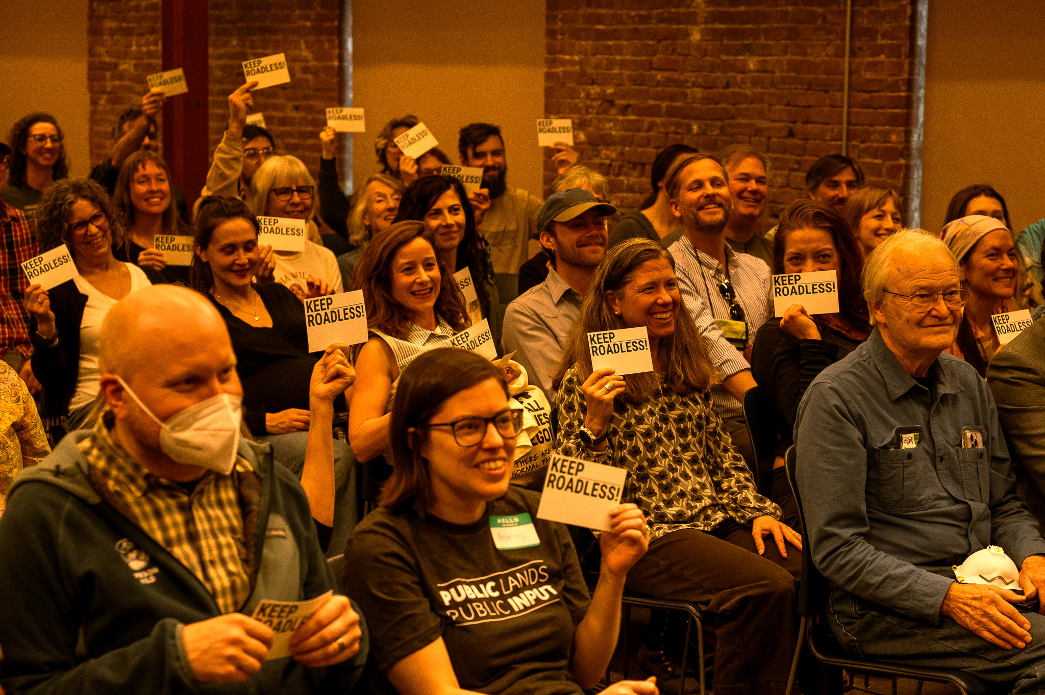
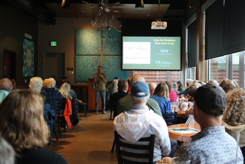
Congressional Republicans and the Trump administration know how popular the Roadless Rule and support for public lands protections are, so they are attempting to cut out the public in their efforts to weaken protections and sell off these landscapes. During a short 21-day initial public comment period on the Roadless Rule rescission last fall, over 600,000 Americans submitted public comments and over 99% of those were opposed to eliminating the rule.
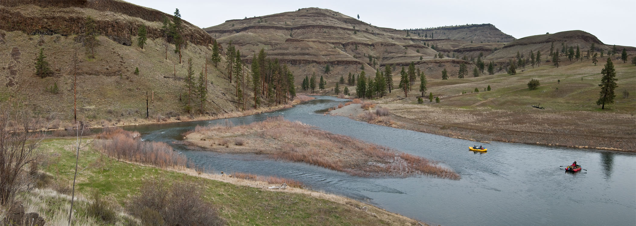
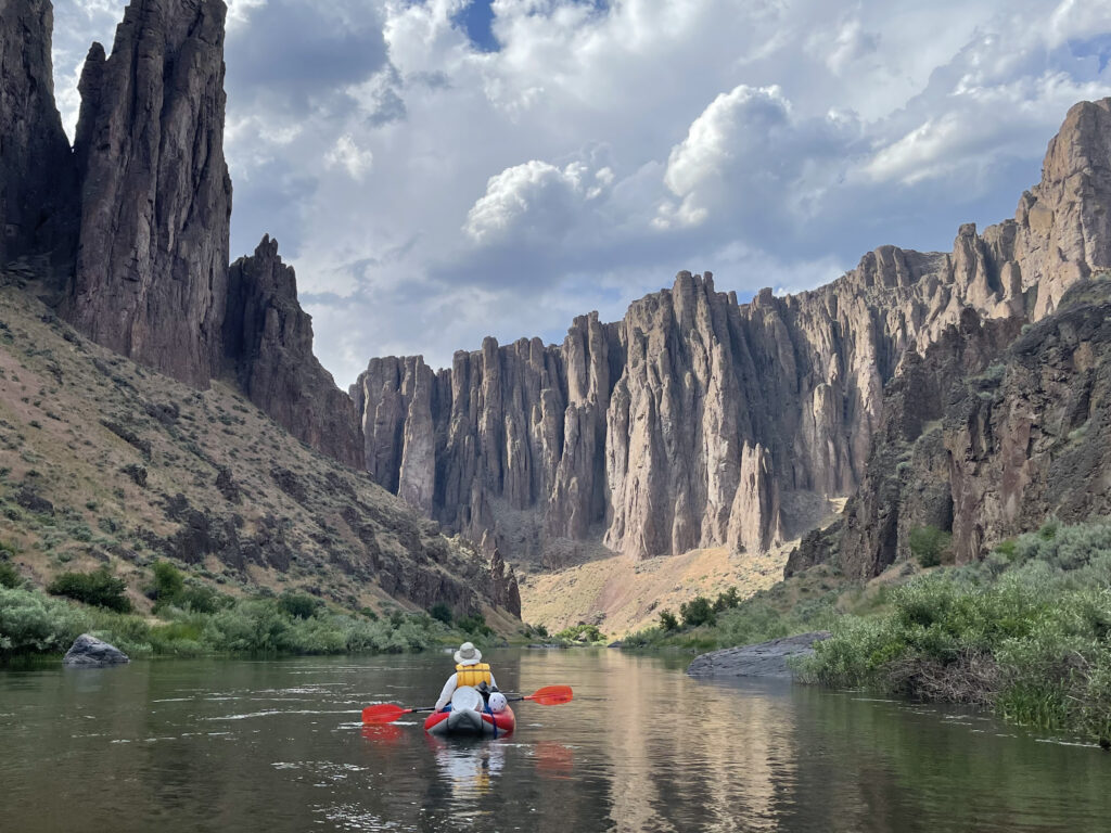
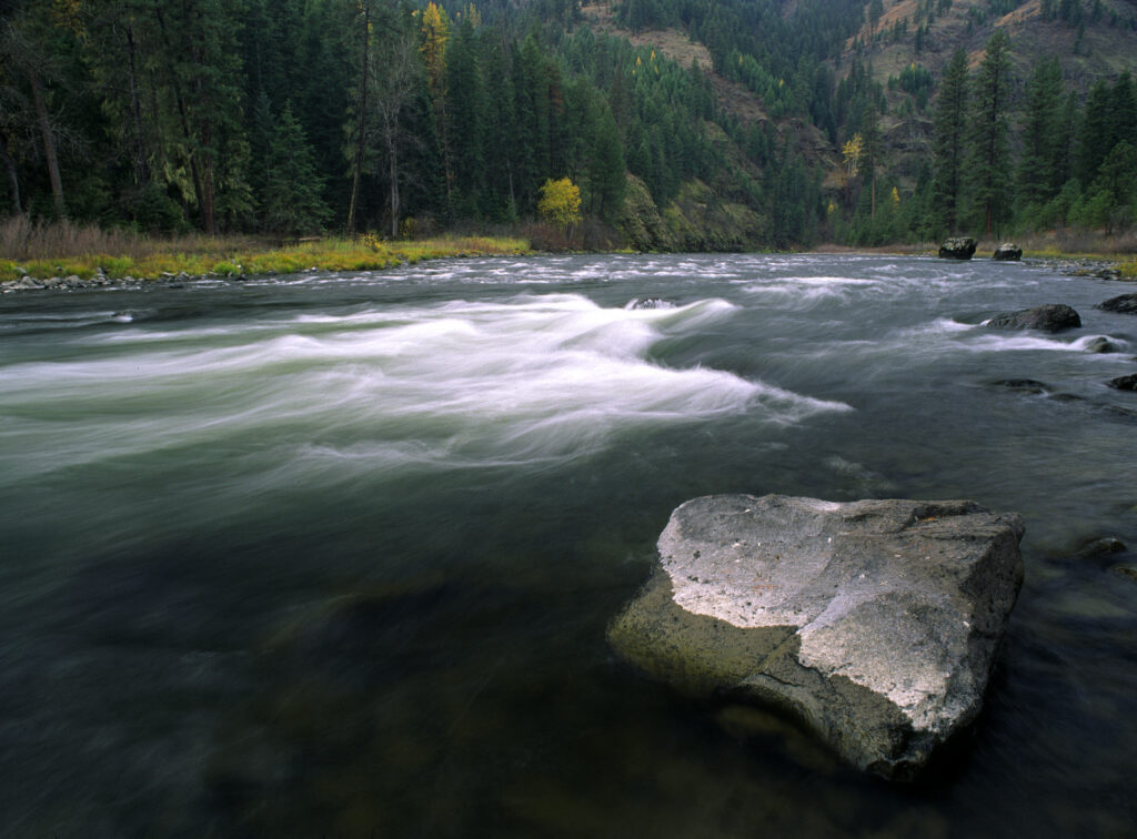
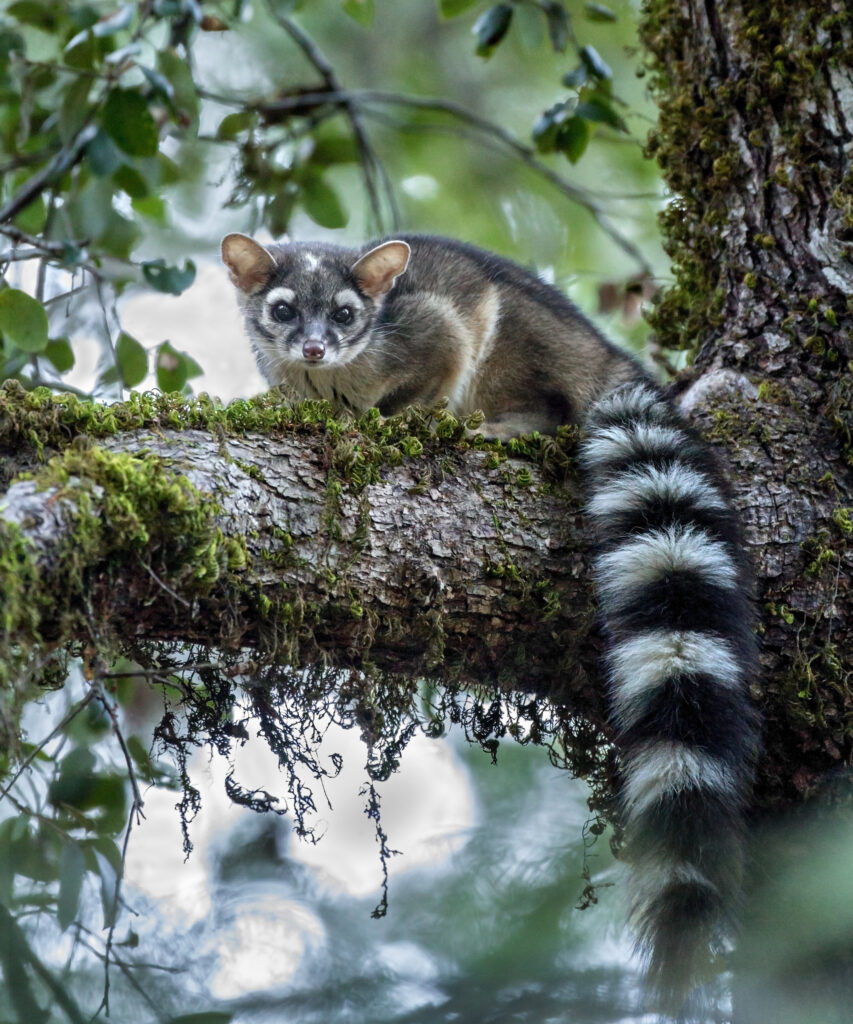
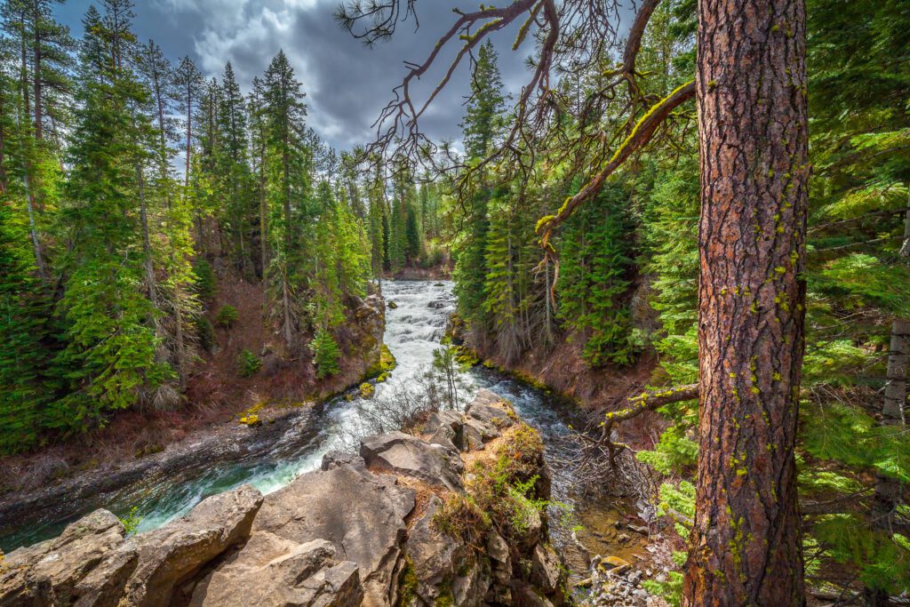
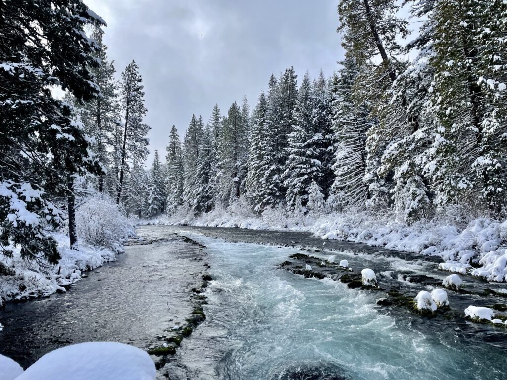
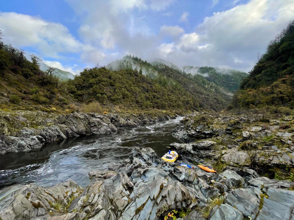
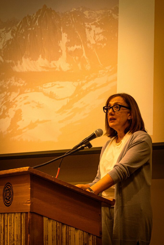
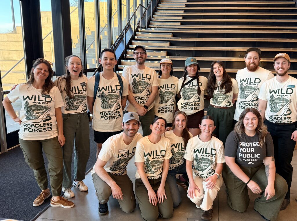
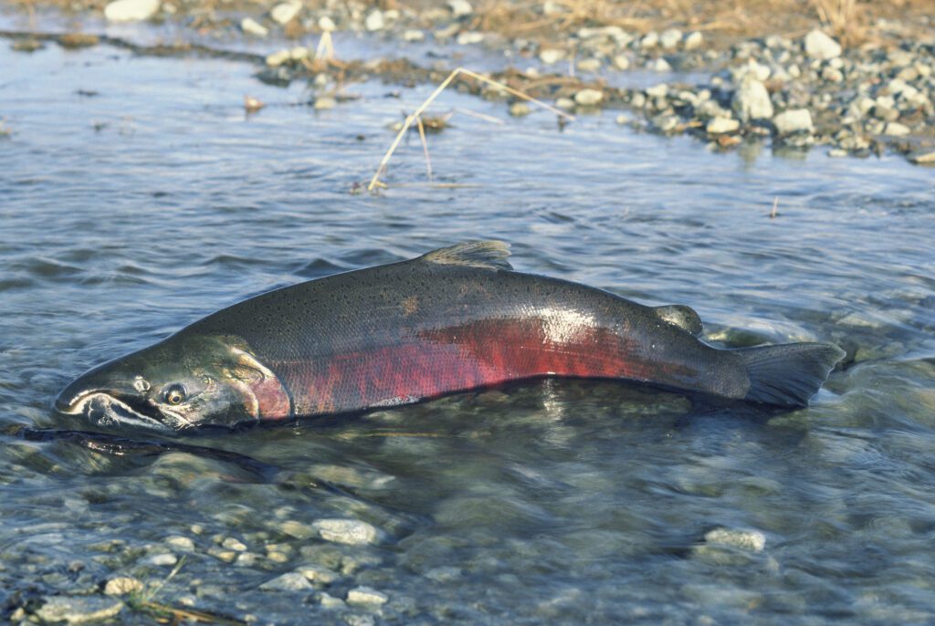
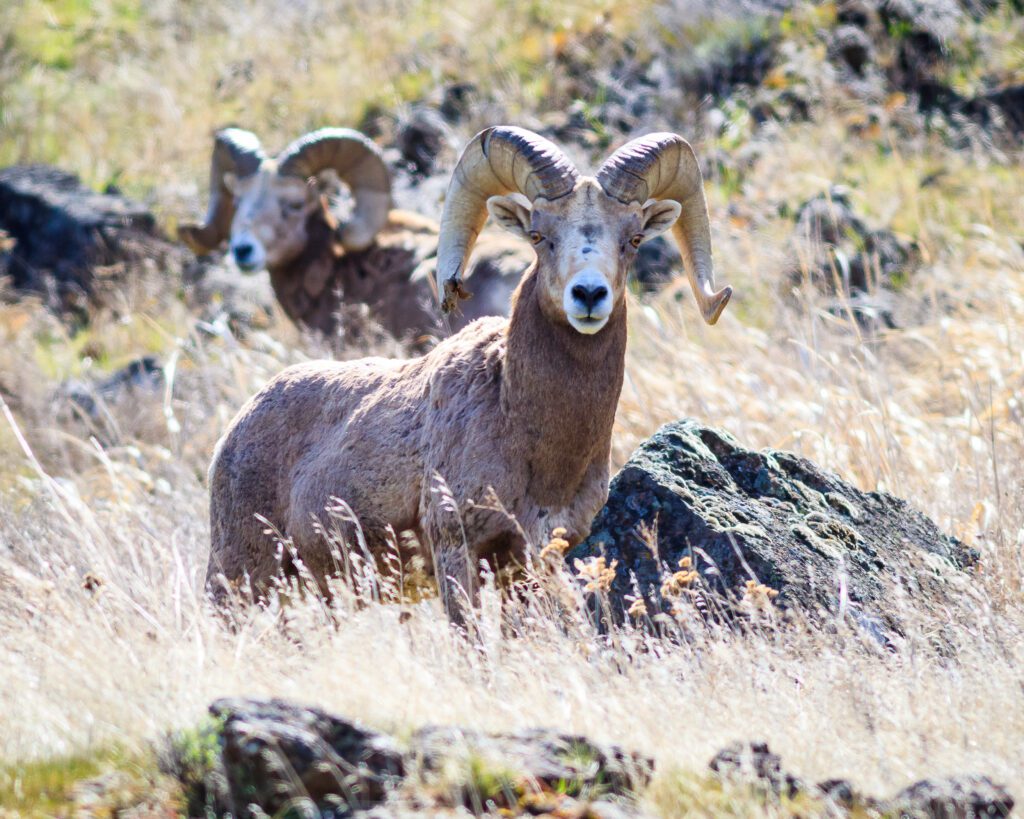
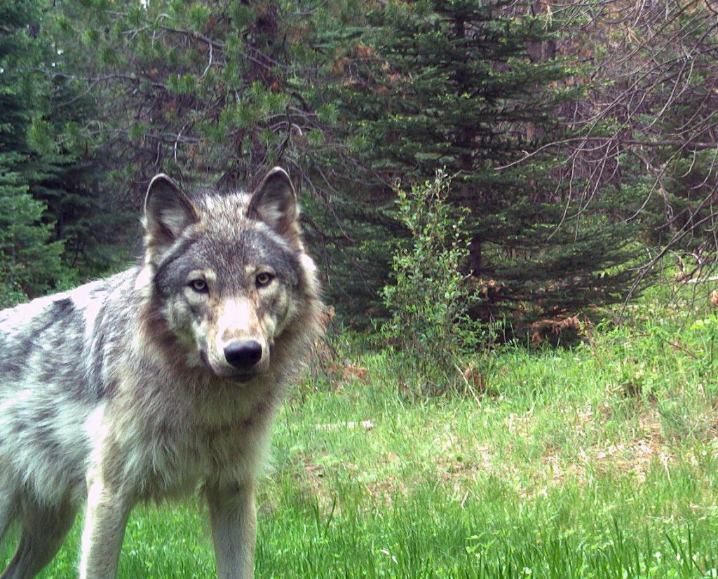
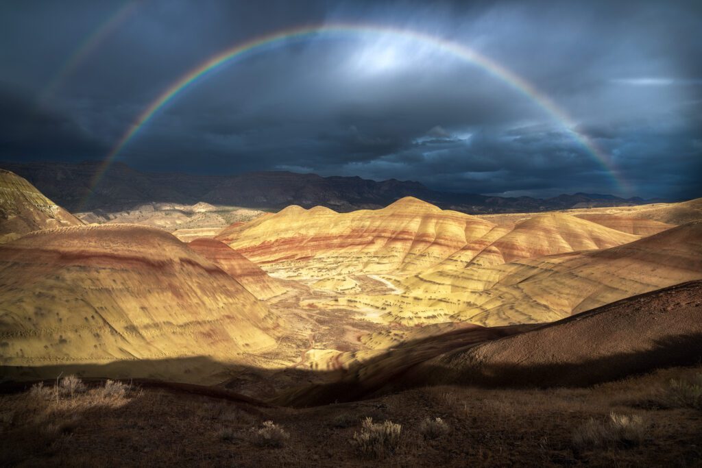
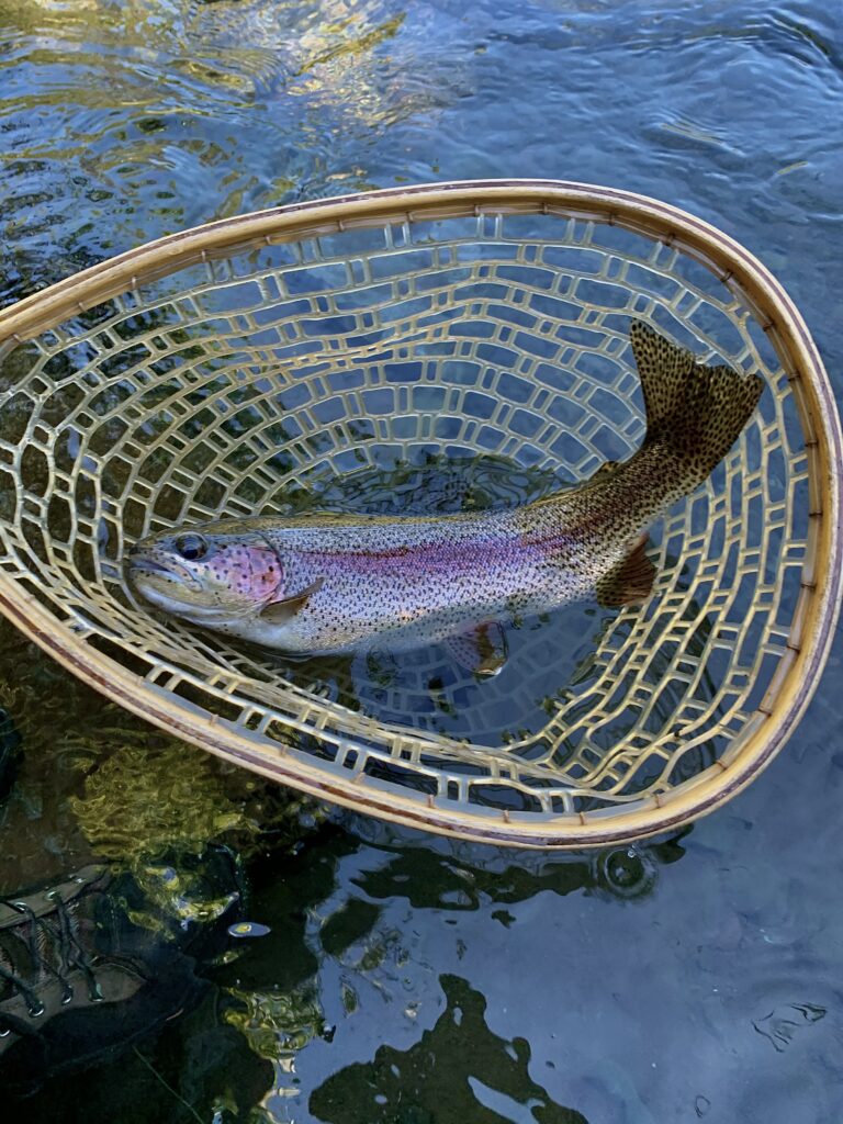
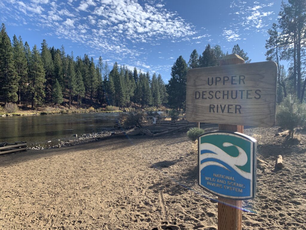
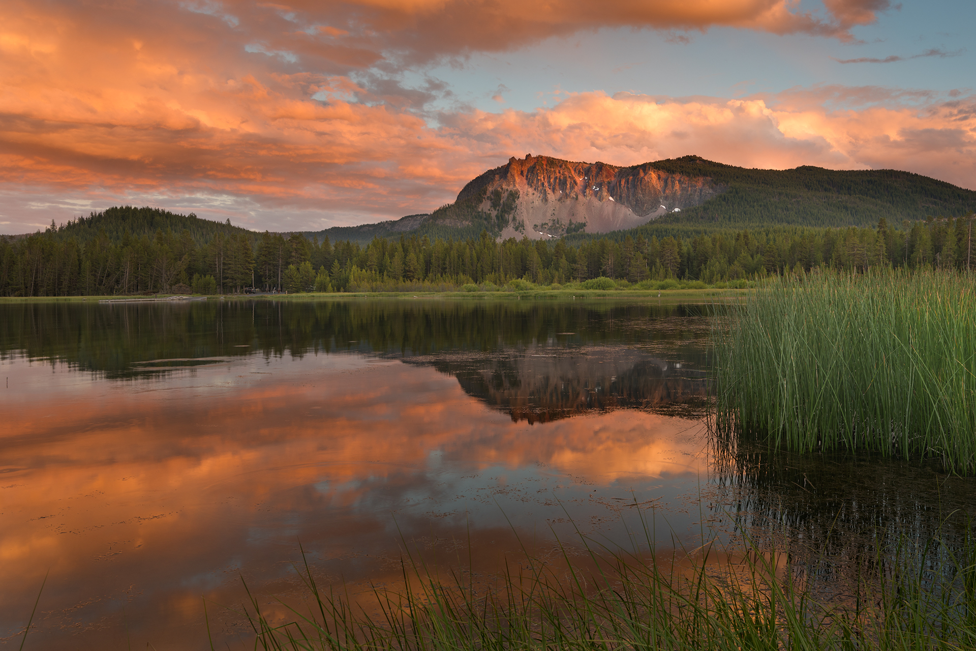
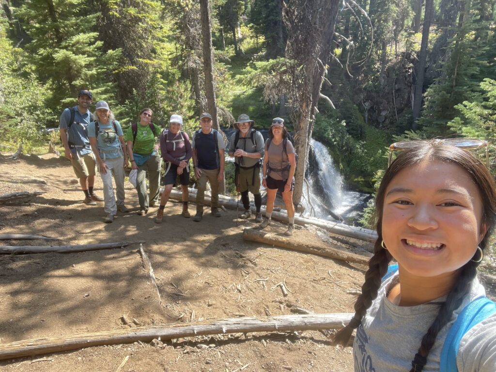
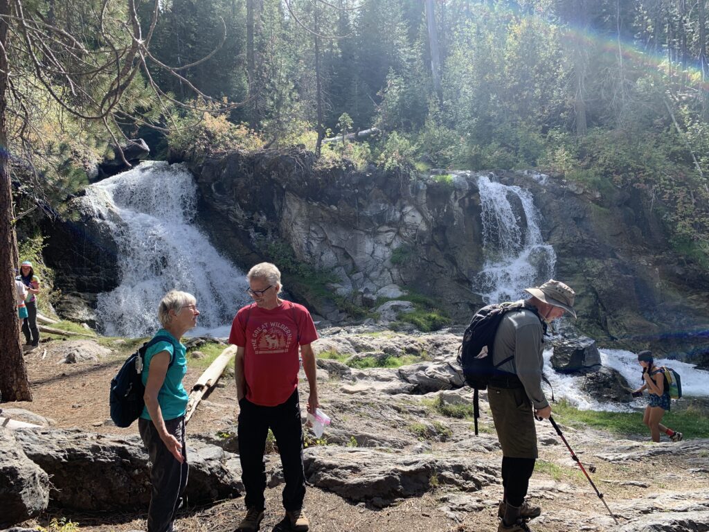
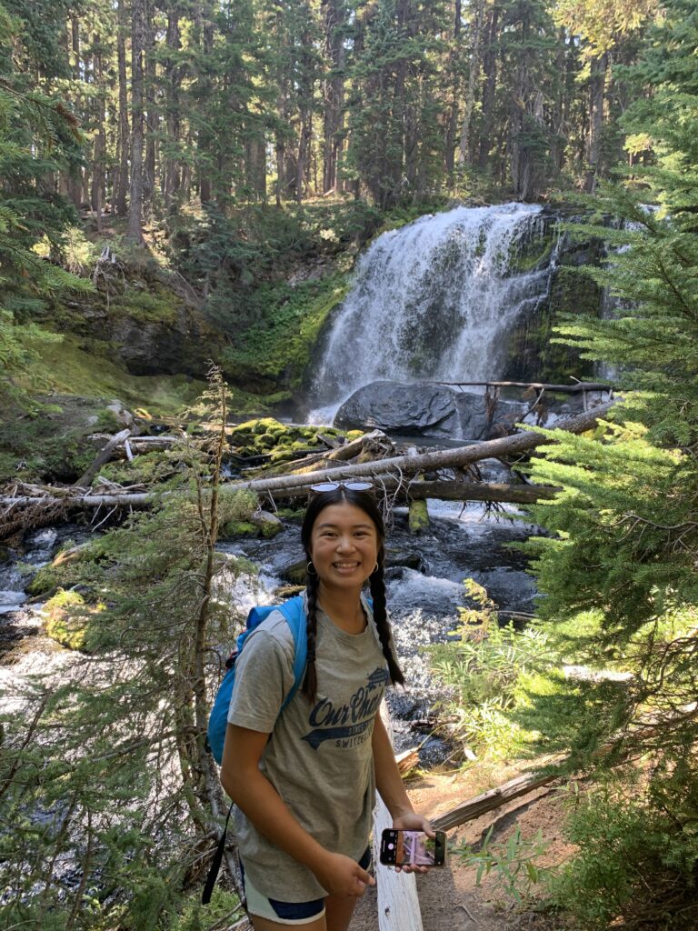
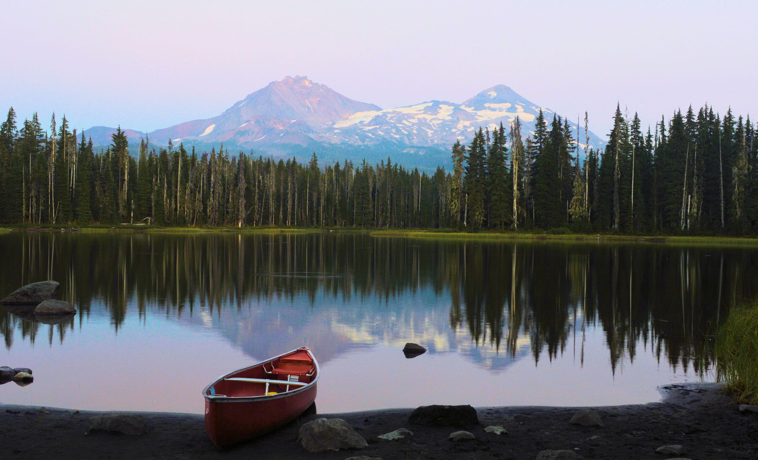
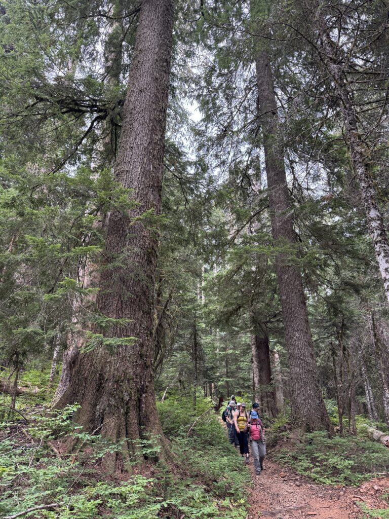
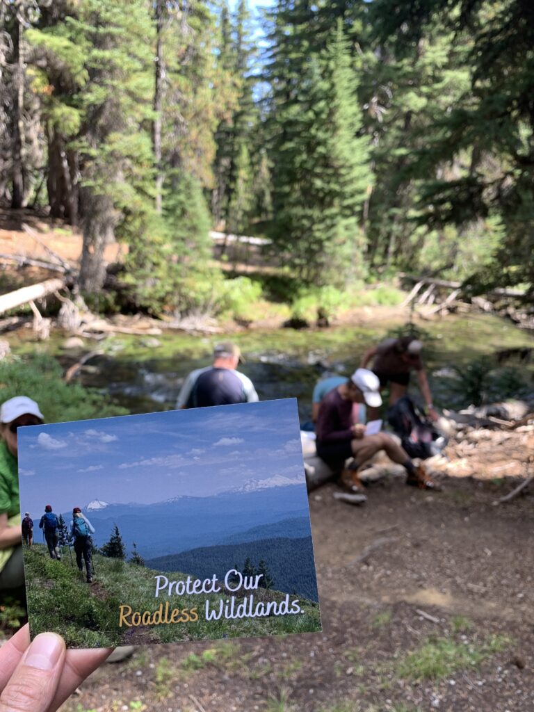
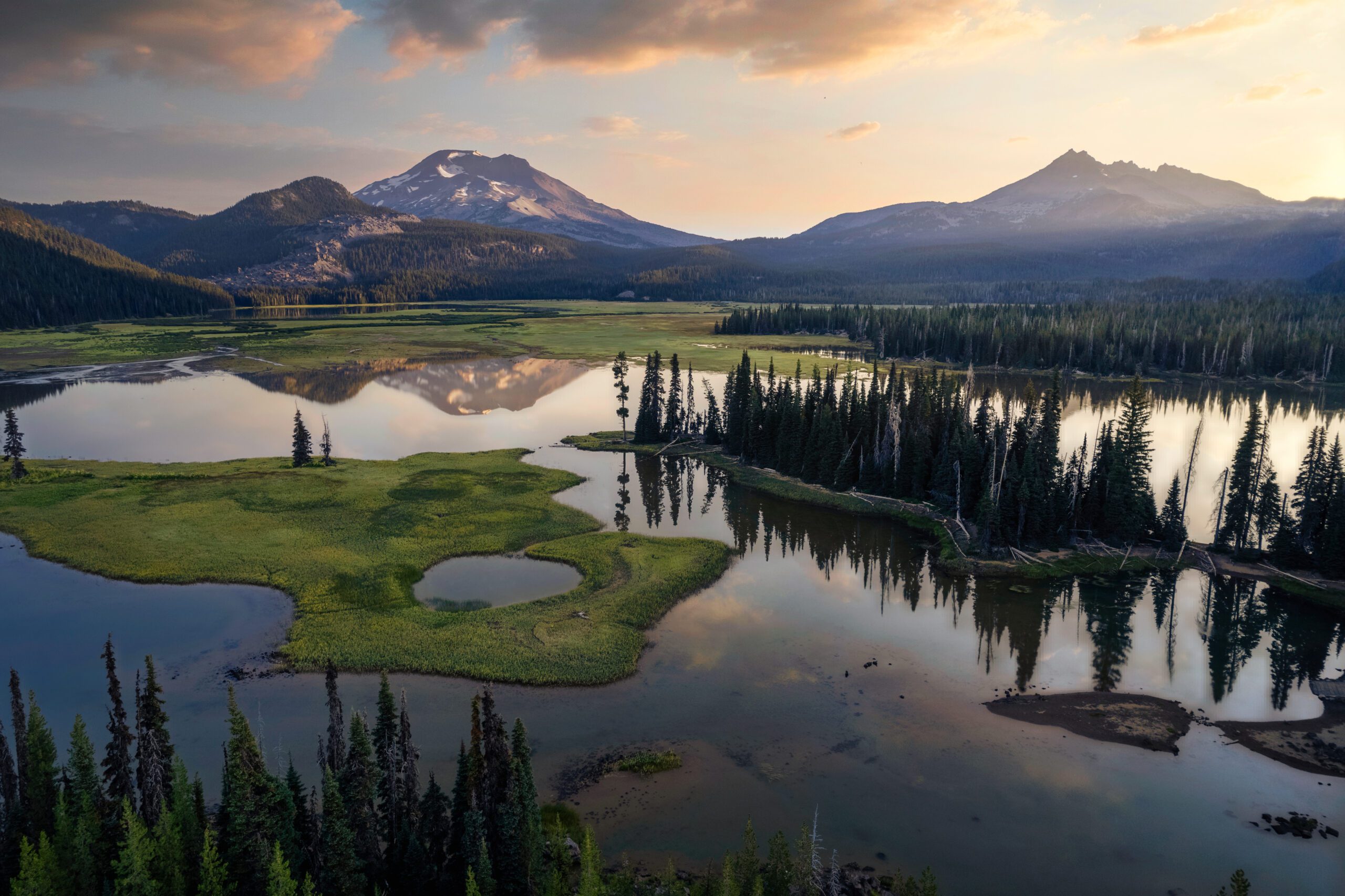
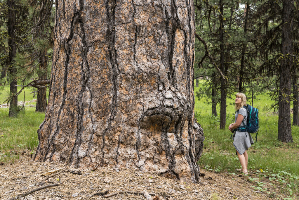
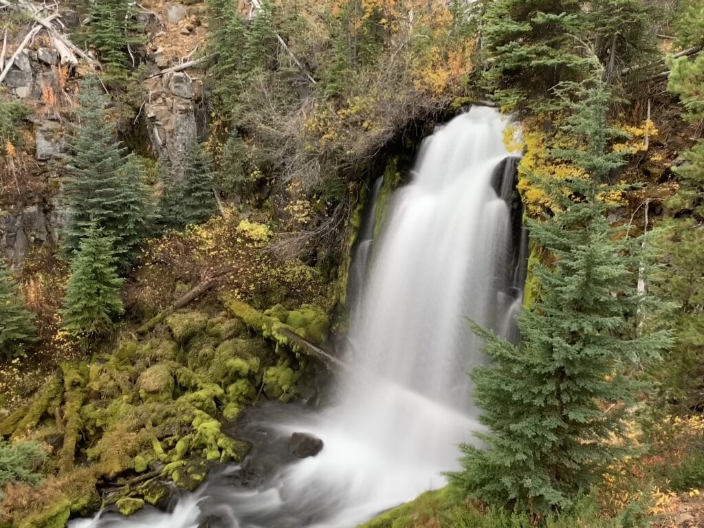
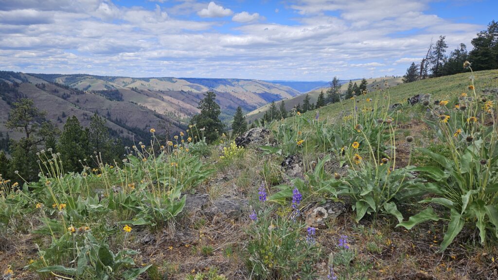
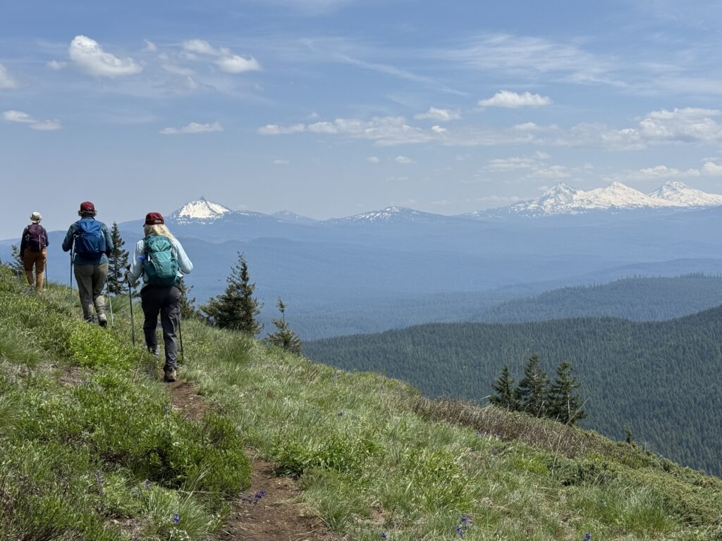
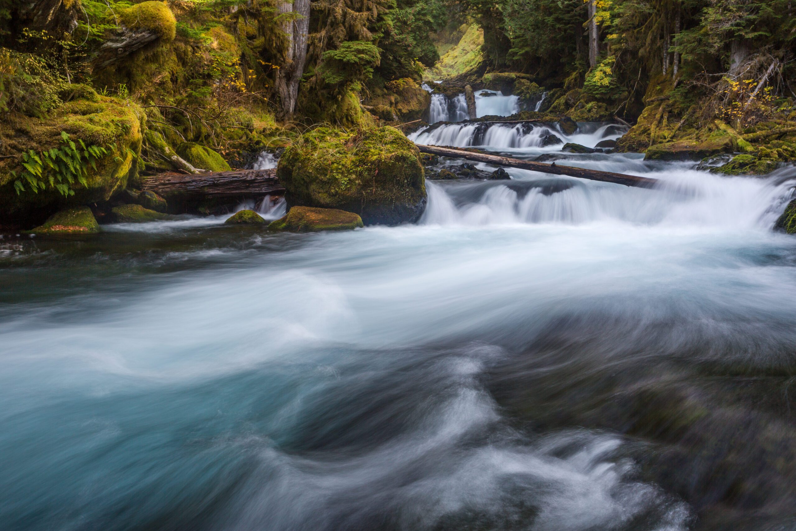
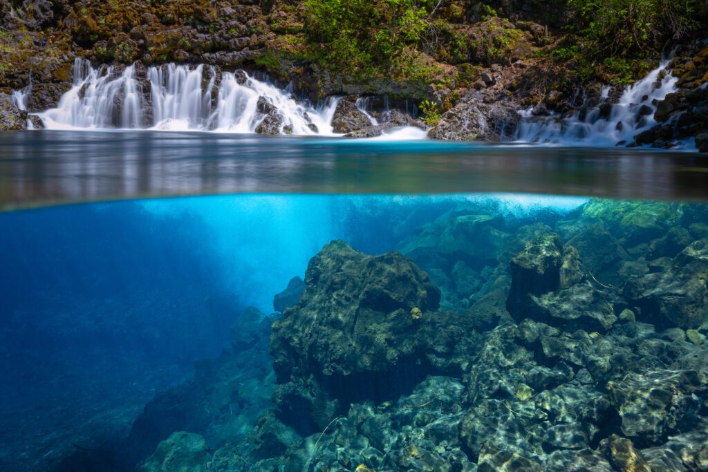
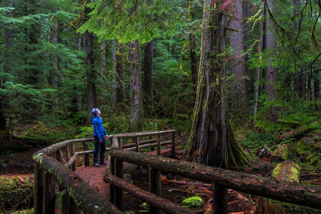
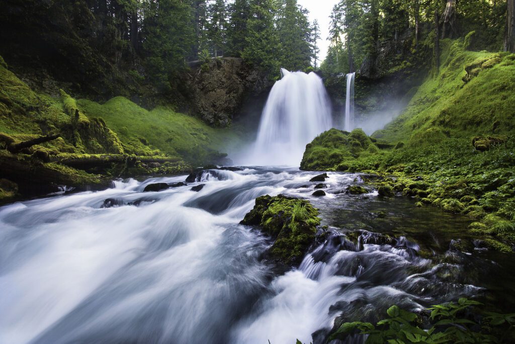
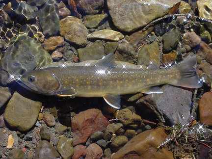
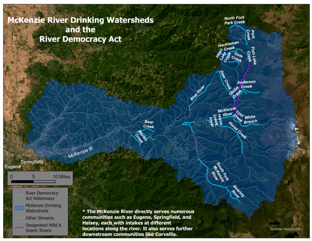
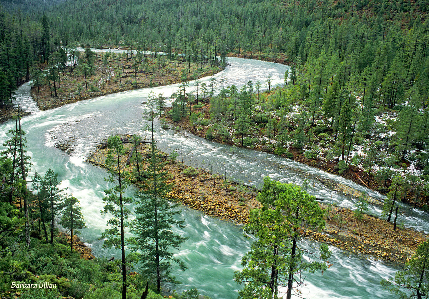
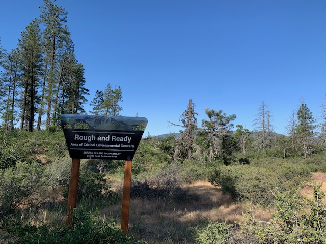
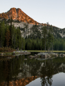
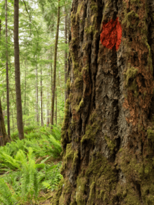
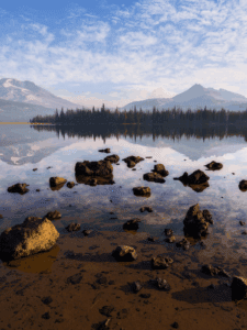
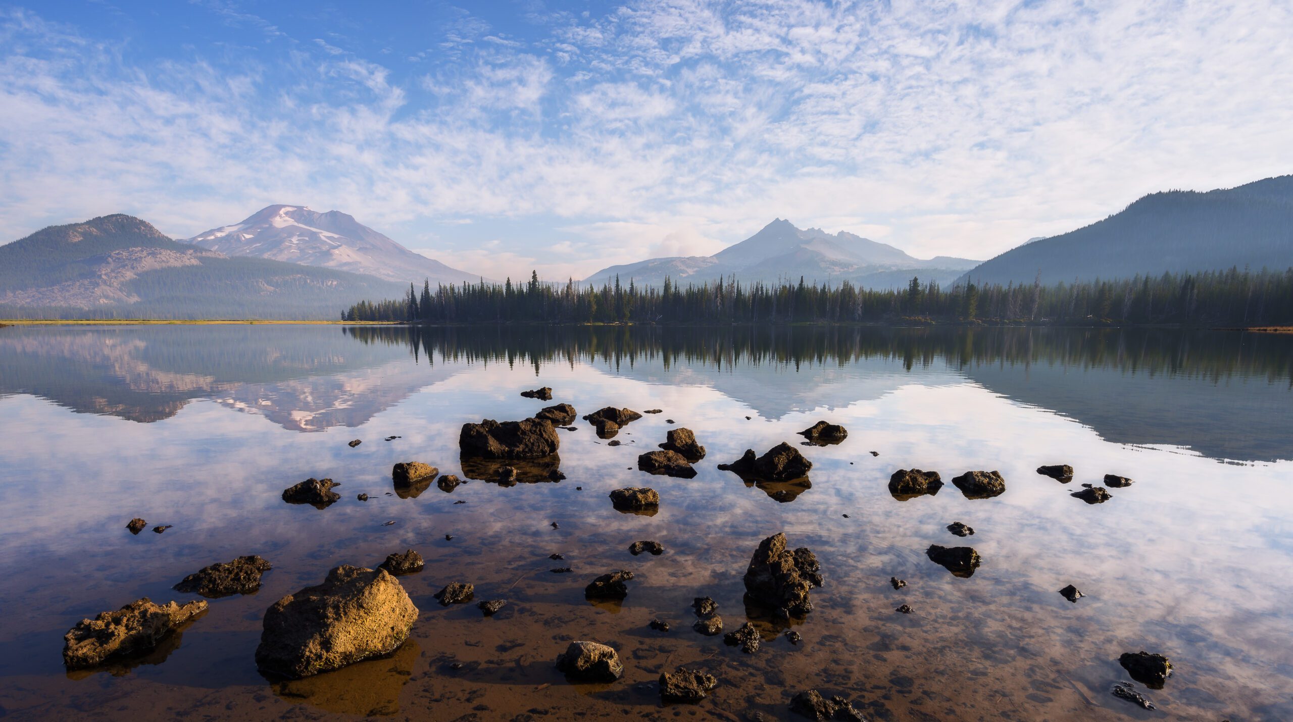
The public almost unanimously agrees–keep these special places protected. And for good reason. The Roadless Rule protects the wildest, most intact remaining places in our National Forests. The best remaining wildlife habitat, the wild headwaters that supply our country with drinking water, the quietest places for outdoor recreation, and the last undisturbed ancient forests. In Oregon, it protects special places like the Cascade Lakes in Central Oregon, Lost Lake and the old-growth forests around Mount Hood, Larch Mountain in the Gorge, and the wild river canyons of Northeast Oregon.
That Senator Lee would attach this provision to the unrelated “Wildfire Prevention Act” is disingenuous and dangerous. Science shows that repealing the Roadless Rule would only lead to more wildfires. Recent studies found that fires were 4x more likely to occur near a road than in a roadless area. Through this bill, Senate Republicans are trying to provide cover for the Trump administration’s unrelenting efforts to attack and undermine our nation’s public lands. Since returning to office, this administration–with the help of Congress–has only made our public lands, forests, and communities less safe and more prone to wildfires.
This isn’t about fire. This is about handing over control of our public lands to private, corporate interests. It’s about taking the public out of public lands and turning those lands into profit for a few wealthy individuals.
Senator Mike Lee showed us his true colors when he attempted to sell off vast swaths of public land last year. We stopped him last summer, and we’ll do it again now.
Take Action
Thank Senator Wyden for defending the Roadless Rule and Oregon’s roadless public lands from this latest attack!
Call your Senators and tell them to oppose the Wildfire Prevention Act and any proposals that would eliminate or weaken protections for roadless forests. To do this, call the Capitol Switchboard (202) 224-3121 and ask to be connected to your Senator. Follow the script below.
Call script:
Hi, I’m [Name] and I live in [Town]
Senator _____, please oppose the Wildfire Prevention Act (S. 140). I am especially concerned about the provision that would repeal the Roadless Rule and protections for wild, roadless forests. I oppose this bill because….
- It goes against the wishes of the American public. Last fall, over 99% of submitted public comments opposing the Trump administration’s plan to rescind the Roadless Rule
- It ignores science and would lead to more wildfire risk. Studies show that wildfires are 4x more likely to start near a road than in a roadless area.
- The Roadless Rule provides important protections for fish and wildlife habitat, clean drinking water, outdoor recreation, and America’s last great wild landscapes.
Our public lands, wildlife, and communities deserve better. Please oppose this bill if it comes up for a vote and oppose any other proposals that would weaken or eliminate roadless area protections.
Instead, I urge you to support and pass the Roadless Area Conservation Act, which would provide lasting protections for these treasured public lands. Thank you.
Urge your members of Congress to support and pass the Roadless Area Conservation Act instead, a bill that would codify the Roadless Rule into law and provide durable legislative protections for threatened roadless areas.
Stay tuned for the upcoming draft Environmental Impact Statement on the Trump administration’s Roadless Rule rescission. Submit your public comment opposing the proposed rescission today!