History
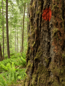
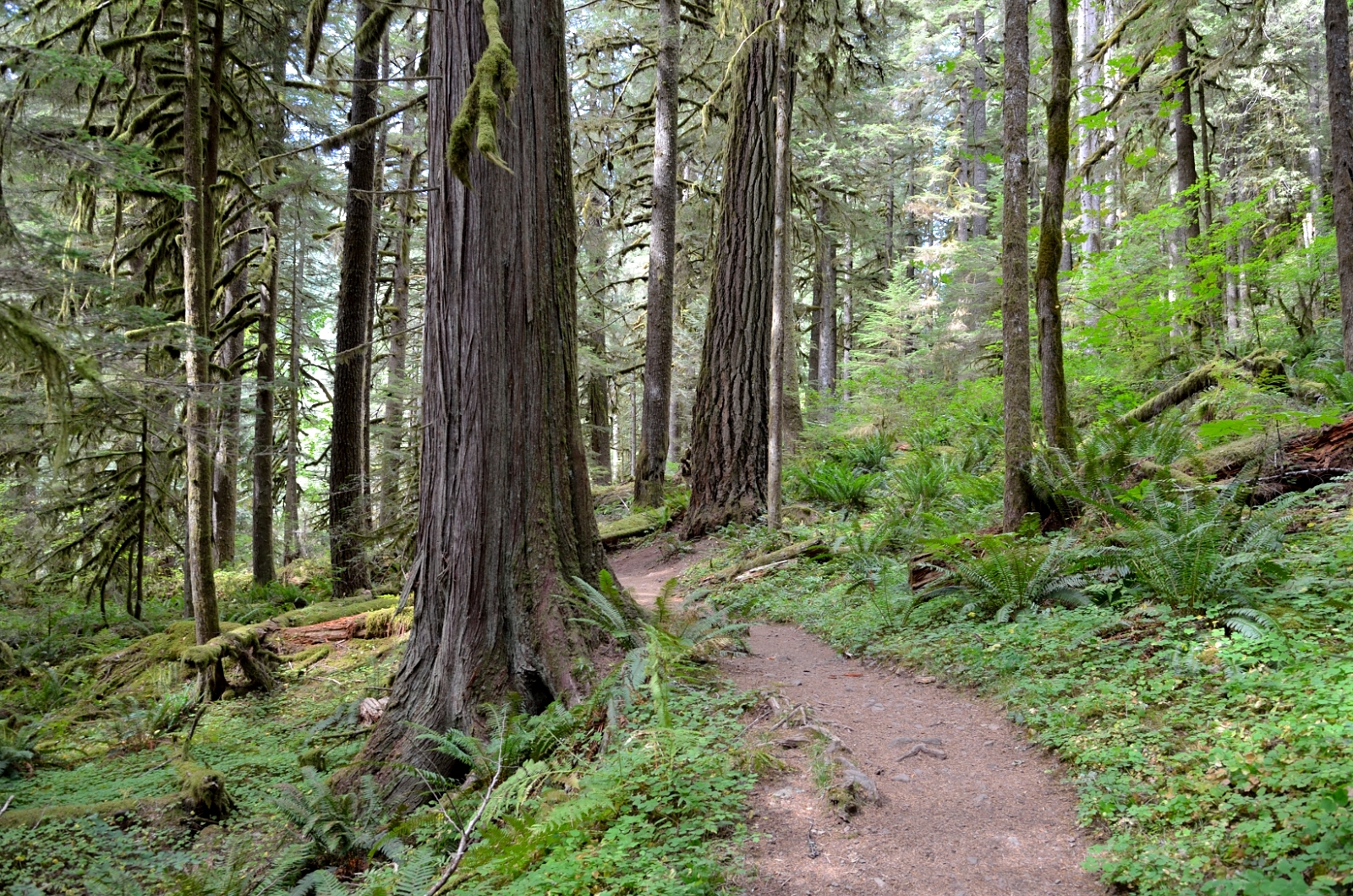
The Salmon River “key hole” is named after the narrow gap of unprotected lands that appears in the shape of a key hole on maps. In the early 1900s many of the nearby forests burned. This resulted in the new forest being primarily small trees when the Wilderness protection bill of 1984 was being negotiated. The timber industry didn’t object to these small tree forests being protected as they were only interested in logging old-growth trees. The timber industry did object (successfully) to the one patch of unburned old-growth forest in the key hole being protected. Subsequently a few parcels in the area were logged but much of the old-growth along the river remains intact today.
Proposal
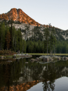
Under current forest management plans many of the old-growth forests along the Salmon River remain open to logging. Oregon Wild and friends have proposed Wilderness safeguards for 600 acres of old-growth forests along the Salmon River in the key hole. The river provides key habitat for salmon and other wildlife. The area is also one of the most easily accessible true old-growth forests in close proximity to the Portland metro region.
Driving Directions
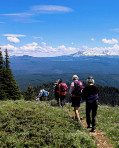
Drive east from Portland on highway 26 past Sandy. Just after passing through Welches turn right on E Salmon River Road (just before Subway). If you go past Lolo Pass Road you’ve gone just a little too far. Follow E Salmon River Road for about 5 miles and park on the left before crossing the Salmon River bridge. The road dead ends shortly after. The first mile or two of the hike are the most dramatic as you are along the river and walking through the old-growth. 4 miles round trip makes for a good day trip here.