Highlights
Difficulty: Moderate
Distance: 3 miles round trip (plus optional addition)
Elevation Gain: 1,200 feet
Season: June to October
Notes: Read more about this hike and the history of the area in this blog post by Marina Richie.
About this Hike
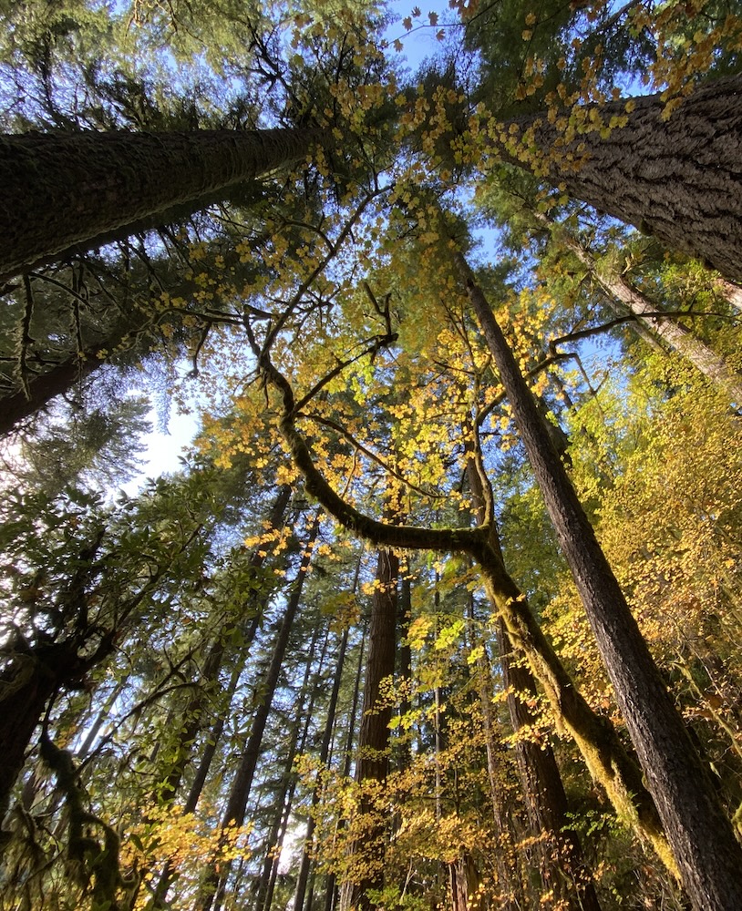
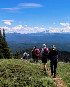
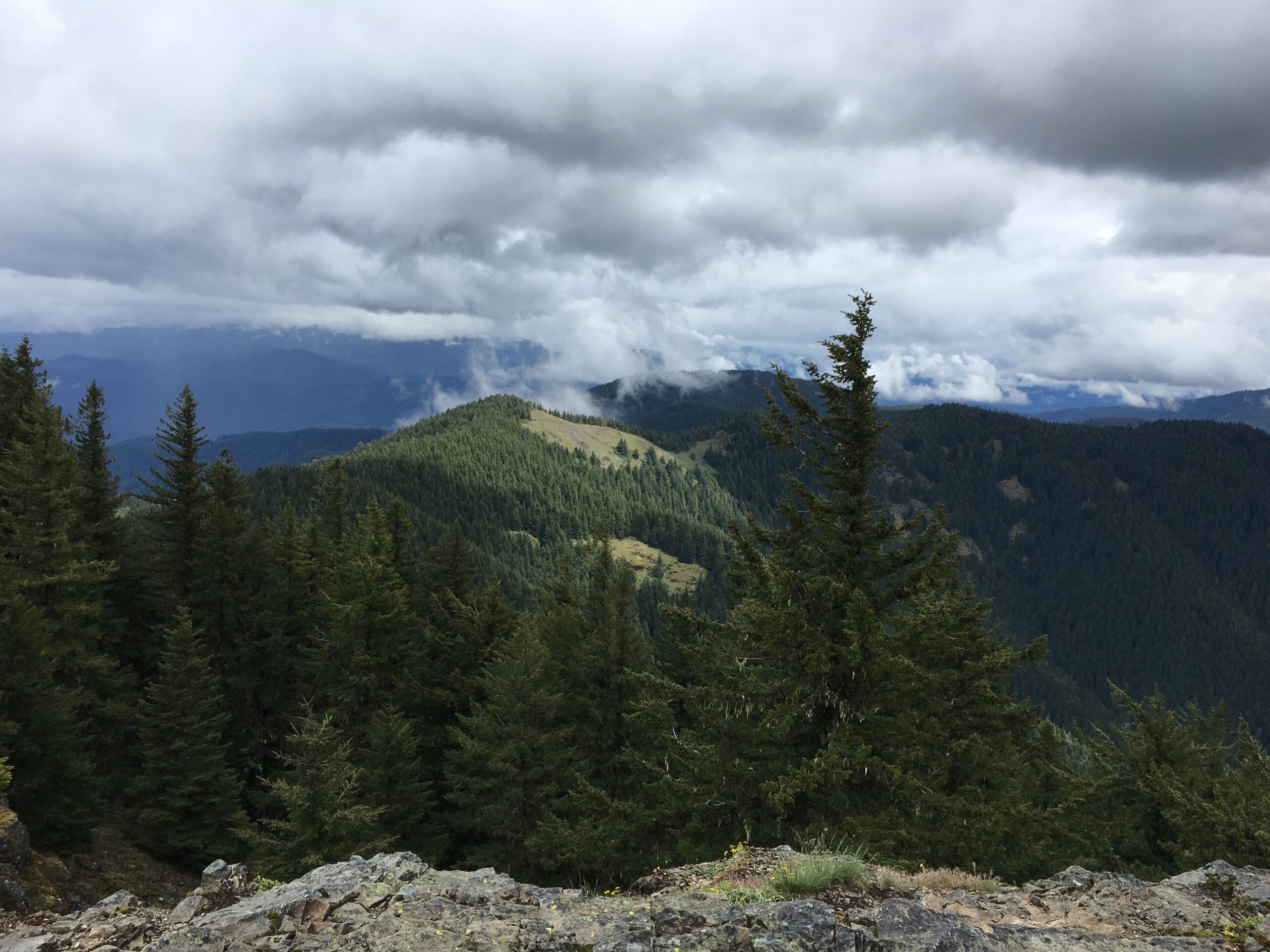
The Hardesty Mountain Roadless area is the largest to be found within an hour of Eugene. The hike to Mount June winds through a diverse mature forest and climbs (steeply in places) to rocky outcrops covered with wildflowers to a lovely view.
If you want a longer hike, turn left on the Sawtooth Trail partway up to follow Sawtooth Ridge another 1.5 miles to a large, steep meadow with additional views and wildflowers.
Getting There
From Eugene, take I-5 South to exit 188 to Highway 58 towards Oakridge. Drive 11.4 miles on Hwy 58 and turn Right at Dexter Dam/Lost Creek Rd. Drive 3.7 miles, then turn Left over a bridge onto Eagles Rest Road. Drive 7.8 miles and continue Left at the fork, onto Road 20-1- 14. Go 2.6 miles on pavement, and then 3.5 on gravel. Turn Left on Road 1721 and go just 0.1 miles, then Left on (rough) Road 941 for 0.4 miles to the trailhead. Park in wide spots on the road. Trailhead is on the right.
Take Action
Mature and old-growth forests like those found in the Mount June area provide vital wildlife habitat, drinking water, and are an important natural climate solution. Take action to defend these forests here.


