Highlights
Difficulty: Easy to Moderate
Distance: 3 miles round trip
Elevation Gain: 100-500 feet
Season: Year round
Notes: A parking pass is required at this trailhead.
About this Hike
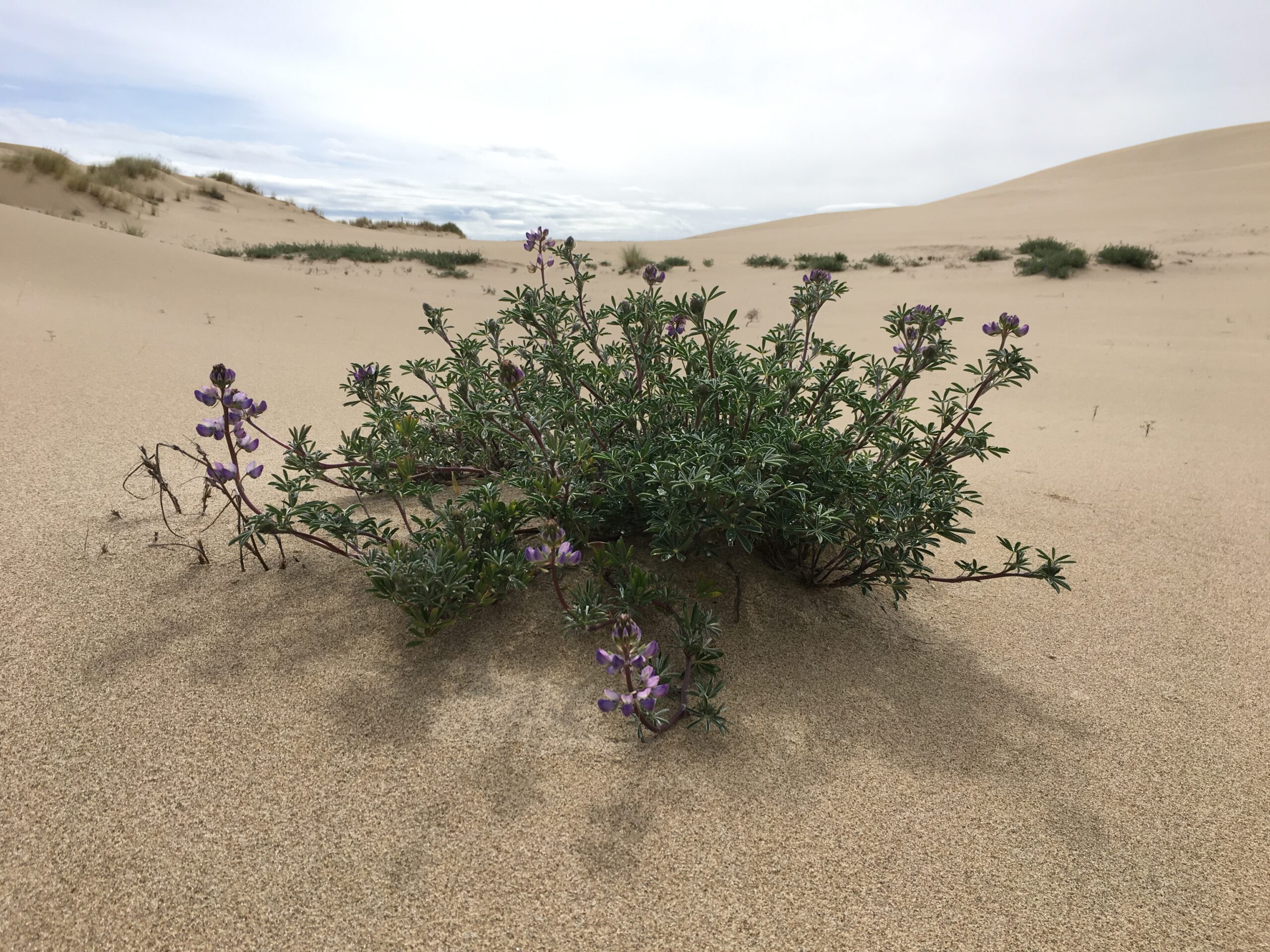
If you’re looking for a non-motorized experience in the Oregon Dunes National Recreation Area, check out the John Dellenback Dunes area. Native plants like lupine, sand verbena, and bunch grasses persist here, as do unique butterflies, beetles, frogs, and other wildlife that depend on the moving sand environment. This native ecosystem is rare today due to introduced beach grass that has stabilized and changed the dunes, leading to the decline of some native species. Restoration of the Oregon dunes has been a priority for the Forest Service for several years, and Oregon Wild has worked to support these efforts as well as protection from development strains.
The trail begins near the Eel Creek Campground, and climbs a sandy path through a forest of shore pine, spruce, and rhododendron before reaching open sand and tall dunes. Look for wooden posts leading towards the ocean – but don’t be afraid to wander and explore the fascinating sand landscape on your way. In early spring, the water table can be quite high, and small ponds form in the nooks and crannies of the rolling sand hills. (Stay a safe distance from the edge of these wet areas, as the wet sand can turn to dangerous quicksand in the blink of an eye.) It’s about 1.5 miles to the ocean, and in the spring, the low-lying forest between the dunes and beach can be flooded. No matter: if you can’t get all the way to the beach, just make your own loop back to where you came from, keeping the prominent tree islands and inland landscape features in sight so you don’t get lost.
Please obey posted signage about staying off the dry sand on the beach during snowy plover (a threatened species) nesting season.
Getting There
Travel south of Reedsport 10.5 miles, or north of Coos Bay 16 miles, on Highway 101. The trailhead is on the west side of the highway near mile marker 222.
Take Action
Streams that flow lazily through the dunes like Takenitch Creek and Tenmile Creek (just south of the Dellenback Dunes area) are special habitats as well – and proposed as Wild & Scenic Rivers under the River Democracy Act. Take action to support the River Democracy Act here.


