Highlights
Difficulty: Strenuous
Distance: 6.4 mile loop
Elevation Gain: 1,100 feet
Season: Year round
Notes: A parking fee or permit is required at this trailhead.
This hike is featured in “Oregon’s Ancient Forests: A hiking guide” – Get the book here!
About this Hike
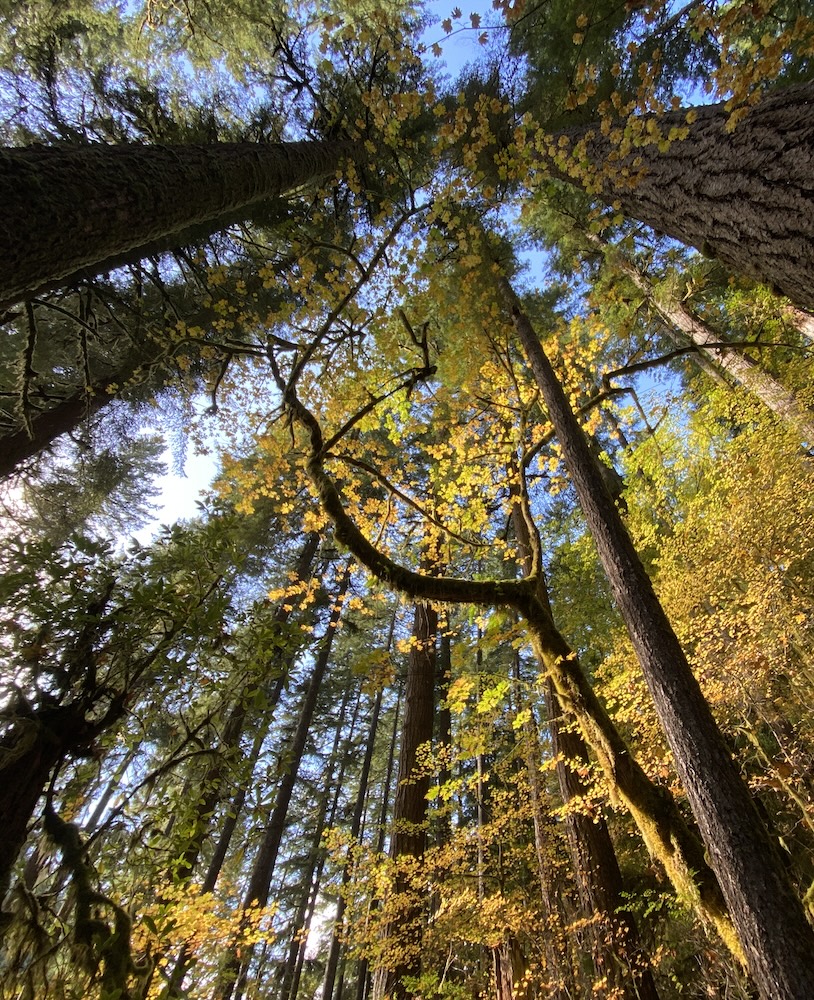
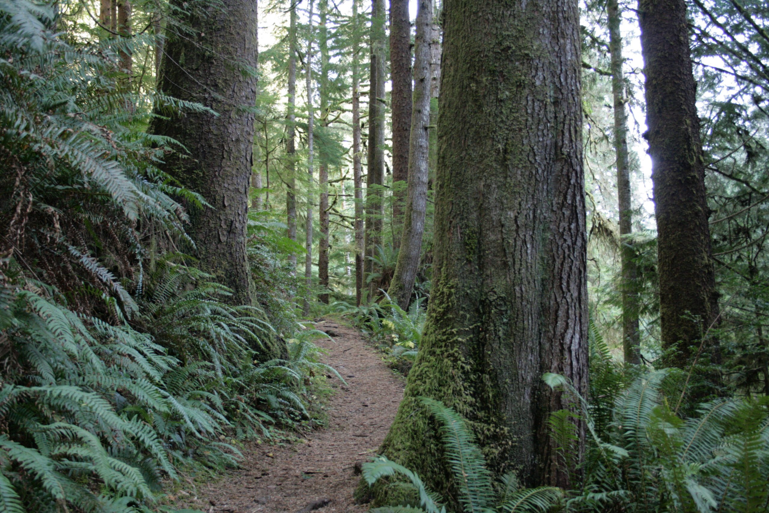
Begin on the Cook’s Ridge trail, which follows an old roadbed and climbs up. Head up the ridge with Cape Creek on your left and you’ll come to the Discovery Loop. Continue straight to reach the main trail more quickly, and steadily wind up through the plantation. You’ll notice that the dense canopy prevents much from growing on the ground. Soon after the half-mile point there is an interpretive sign located near some large snags and legacy trees from the original forest stand. At 0.7 miles you will reach the top of the loop. Go left to continue up the ridge. The trees become more stately and the climb becomes more gradual. The trail continues along Cooks Ridge with Cape Creek to the north and Gwynn Creek to the south. Follow along up and down ridgetop saddles, gently climbing as you head east through a forest of tall Sitka spruce, western hemlock, and Douglas-fir with huckleberry, salal, and swordfern. Be sure to take some time to enjoy the views of the dense forests and of the ocean behind you.
You will reach the high point of the hike at about 2.3 miles. Descend a bit from here toward a south-facing slope with a lovely multileveled canopy. And at mile 2.4 you will intersect with the Gwynn Creek Trail. Turn right at the intersection and continue downhill, passing Douglas-fir, hemlock, and a few small spruce and redcedars. At about 2.8 miles, the trail begins to switch-back down the ridge to Gwynn Creek below, then descends more gradually, finally reaching creek-level at about 3.5 miles. Enjoy spectacular views through the forest of old-growth Douglas-fir trees with massive arms and furrowed, fire-scarred bark.
As you continue, more and bigger spruce trees reenter the forest as you continue to head west toward the ocean. At 5.4 miles into the loop, the Gwynn Creek Trail meets the Oregon Coast Trail. Turn right here to go back toward the visitor center, taking you through a forest now dominated by Sitka spruce. Enjoy the sights and sounds of the ocean, almost drowning out the noise of US 101 just below. Cross the Cape Perpetua entrance road and turn right on Captain Cook Trail to head back to the visitor center and parking area. (Alternatively, if you want to take a side trip to the tidepools you can turn left at this intersection.)
Getting There
From Florence, Oregon, head north on US Highway 101 for 23 miles to signs for the Cape Perpetua Visitor Center (between mileposts 168 and 169). From Yachats, Oregon, head 3 miles south on US 101. Park in the large lot. The trail begins at the upper end of the parking area.
Take Action
The River Democracy Act proposal would protect Gwynn Creek, as well as nearby Cape Creek as Wild & Scenic Rivers. Take action to support the River Democracy Act here.


