

Highlights
Difficulty: Moderate
Distance: 5 miles round trip
Elevation Gain: 500 feet
Season: Spring through late fall
Notes: A version of this hike is featured in “Oregon’s Ancient Forests: A hiking guide” – Get the book here!
About this Hike
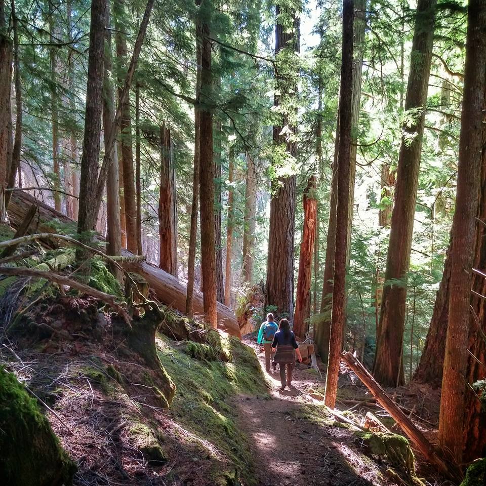
Whether you take on the entire 27 miles or opt for a shorter day hike, this scenic trail has a lot to offer. The rushing Middle Fork Willamette River parallels most of the trail that winds through an old-growth forest of Douglas fir, western hemlock, red cedar and alder. The trail passes multiple springs and rushing streams as it follows the river from Timpanogas Lake (the official source of the Willamette River) nearly all the way to the Hills Creek Reservoir.
Our recommended stretch was impacted by the Tumblebug Fire in 2009. As you head towards Chuckle Springs, note the mix of live and dead patches of trees: some charred snags tower above, along with scattered clumps and individual live trees that survived. Stay right at a junction, and continue a total of about a half mile to Chuckle Springs, which emerges in a still pool. This is just one of numerous springs that feed the Middle Fork Willamette River and provide the cold, clean water needed by the threatened resident bull trout population.
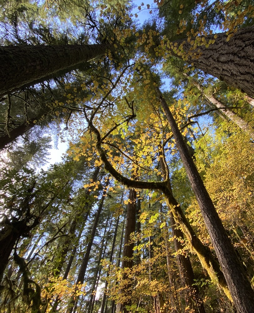
Take the Middle Fork Trail downhill here and continue past the spring, descending through the burned forest and encountering other springs along the way to the river. Before long, you’ll enter the unburned forest and continue downstream through tall hemlocks, fat Douglas-firs, and big, charismatic western redcedar. About 2 miles past Chuckle Springs, and after crossing a few spring-fed streams on bridges, you’ll come to an impressive example of a “weeping wall”. The twenty-foot rock wall here drips with water for much of the year, supporting mosses, lichens, and succulent wildflowers. Along the way, you’ll pass through a forest thick with five-foot-diameter Douglas-firs, towering bigleaf maples, and chinquapin trees. Turn around where you like and head back.
Getting There
From Interstate 5 just south of Eugene, take exit 188 and follow Oregon Route 58 southeast to the town of Oakridge. Less than a mile past the east end of town, turn right (south) onto Forest Road 23 at signs for Hills Creek Dam. In a half mile, turn right onto paved Road 21. In about 30 miles, (1.5 miles past the Indigo Springs Campground) turn right on Road 2100-404 and go about 0.5 miles to the Chuckle Springs Trailhead.
There are multiple other trailheads if you want to explore the rest of the trail – just look for the trail markers.
Take Action
Oregon Wild has worked to defend the forests in this area for years. The River Democracy Act proposal would protect the Middle Fork Willamette River as a Wild & Scenic River. Take action to support this bill here.