Highlights
Difficulty: Easy
Distance: 3 miles round trip
Elevation Gain: 400 feet
Season: All year (spring for wildflowers and high flows, fall for color and mushrooms)
Notes: $3 day pass or Northwest Forest Pass required. Restrooms are available.
About this Hike
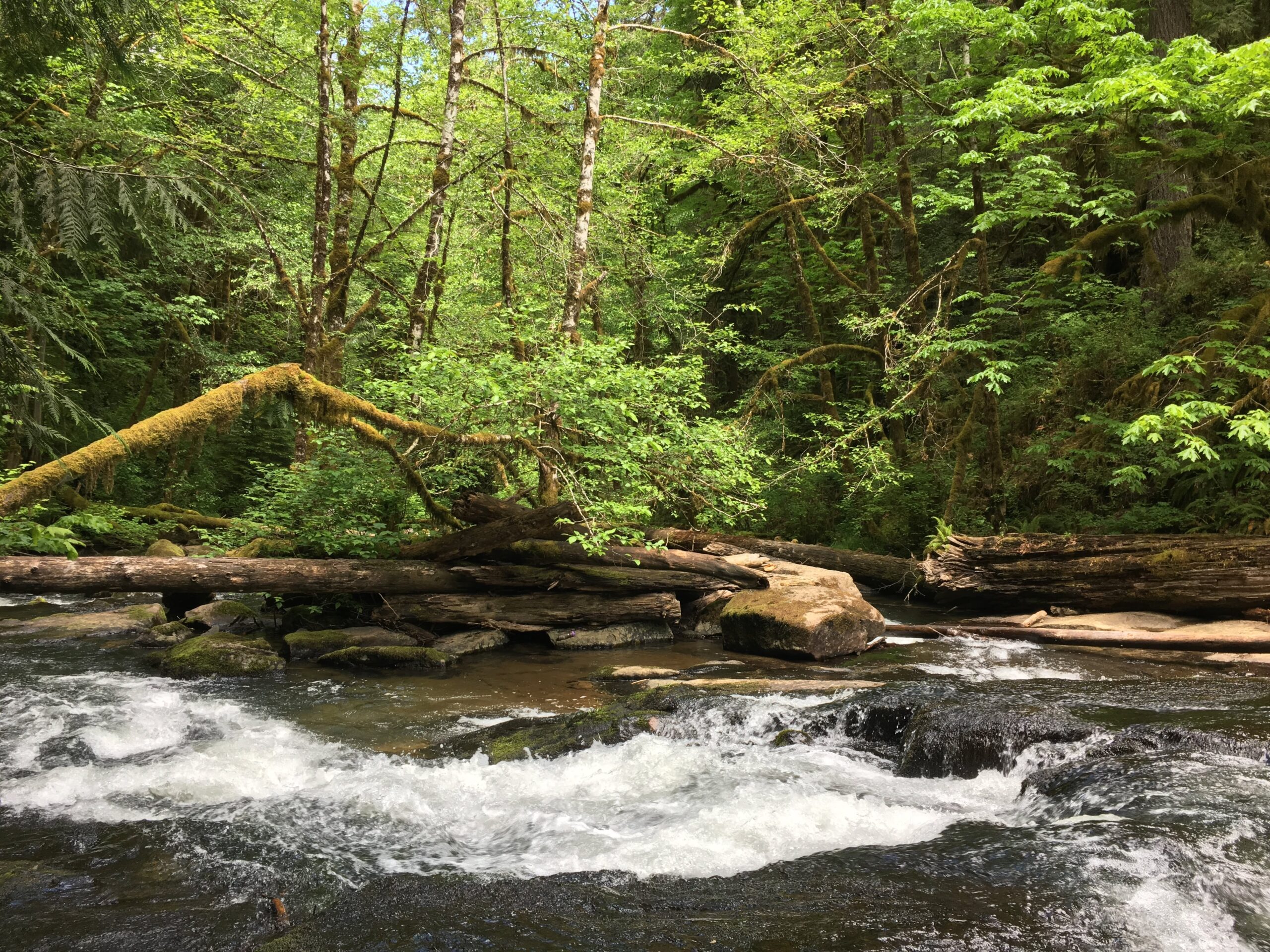
The Alsea Falls Recreation Area offers several hiking and mountain biking opportunities, as well as camping, in the heart of the Oregon Coast Range just an hour from Eugene or Corvallis. Managed by the Bureau of Land Management, much of the area has been heavily logged in the past, but the South Fork Alsea River and its surroundings also have pockets of old growth and lovely waterfalls.
From the parking area, head left/downstream on the short path to view and explore Alsea Falls and the rocky slabs at its base. Then, to escape any crowds and get in a longer hike, cross the bridge that is just upstream of the falls and turn left. Follow the South Fork Alsea River through a lovely forest. After about 0.75 miles, you’ll come to a road – follow any trail signs for the falls, and walk past McBee Park (a campground). At another parking area, find the trail heading up Peak Creek, which rolls up and down (and can be muddy) another half mile to 45-foot Green Peak Falls.
Getting There
From Eugene, head north on Highway 99 through Junction City, then Left onto Highway 99W just past Junction City downtown. Travel just north out of the town of Monroe and turn left on Alpine Cutoff Road. Turn left at T intersection on Alpine Road.
From Corvallis, follow Hwy 99W south about 15 miles. Turn right on Alpine Road.
Continue through the small hamlet of Alpine, following a curve to the left to stay on Alpine Road and then follow signs to Alsea Falls a total of just under 10 miles. Turn right to park at the Alsea Falls Day Use area.
Take Action
The River Democracy Act proposal would protect this section of the South Fork Alsea River as a Wild & Scenic River. Take action to support the River Democracy Act here.


