Highlights
Difficulty: Strenuous
Distance: 4.2 miles round trip (or more if desired)
Elevation Gain: 1300 feet
Season: Early spring through late fall
Notes: This hike is featured in “Oregon’s Ancient Forests: A hiking guide” – Get the book here!
About this Hike
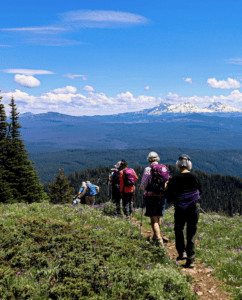
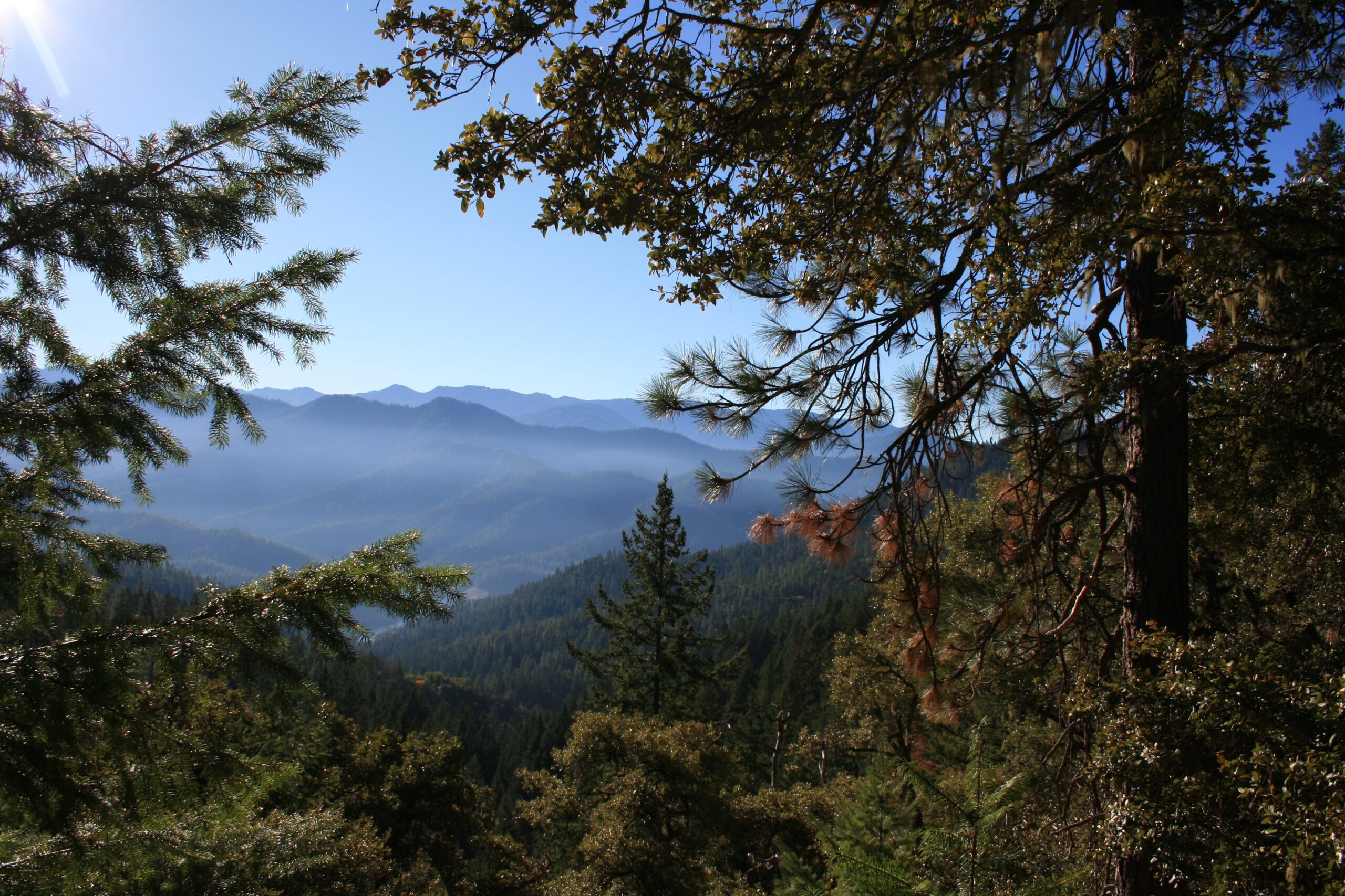
The Collings Mountain Trail follows Grouse Creek, climbs above the canyon’s headwalls, and follows a ridge to Collings Mountain. This trail features views of the Siskiyou Crest and Applegate Lake, and it passes an inactive Big Foot Trap as well as a number of mine adits (tunnels with one entrance).
Start out by descending into a forest of tall madrone, chinquapin, Douglas-fir, and bigleaf maple. The trail crosses Grouse Creek—dry in the late summer and fall—several times as it gradually ascends, passing three-foot-wide Douglas-firs with deeply furrowed bark. After a quarter mile, cross a wooden bridge over a side channel; then continue up the main channel. In a half mile, you’ll come to a side trail that goes uphill a short 0.1 mile to the legendary Bigfoot trap (an actual trap designed to catch, you guessed it, Bigfoot) among fat ponderosa pines. Take it—why not? Better to do so now than on the way back when a little bit of uphill won’t be as appealing.
Back on the main trail, more pines enter the forest mix before the route crosses a side channel and starts to climb more steeply. As you ascend, you’ll catch glimpses across the ravine of the oak woodland that dominates many of the slopes here. Just before three-quarters of a mile, cross the creek again and enter a dense oak-madrone woodland with canyon live oak and Douglas-fir mixed in, the black oaks and madrones often growing in clumps. At about 0.9 mile, pass the opening to an old gold mine and a bedrock outcrop. From here, the trail starts to switchback up, with views across the Grouse Creek ravine to the ridge where the trail eventually leads. Atop this rocky slope, big canyon live oak, pines, sage, and bunchgrasses indicate the dry climate. By 1.3 miles, the forest has more of a thick shrubby quality with red-stemmed manzanita, short oak trees, and bushy madrones. After reentering a dense fir forest, the trail curves to the left to begin traversing the headwalls of the Grouse Creek canyon. Continuing to climb, enjoy (while you catch your breath) the madrone forest and the views back across the canyon, before switchbacking steeply to the top of the ridge, lined with big canyon live oaks at just under 2 miles. Openings at and beyond the 2-mile mark on this ridge offer lovely views to the west over the Carberry Creek drainage and Siskiyou hills. The trail continues, descending slightly and then following the ridge toward Collings Mountain, but since the view from the top of the ridge is lovely, it’s a good place to turn around.
Getting There
From Medford and Interstate 5, follow signs west to Jacksonville and continue on Oregon Route 238 to Ruch. Or from Grants Pass, from the intersection of OR 99 and US Highway 199, follow signs south to Murphy and then follow OR 238 to Ruch, between mileposts 25 and 26. Turn south on Upper Applegate Road and drive 15.9 miles. A mile past the Applegate Dam, just past the entrance (on the left) to Hart-Tish Park and just before milepost 16 and a guardrail, park on the right shoulder of the road.
Take Action
The wild lands and streams near the Oregon-California border are a vital part of the biodiverse Klamath-Siskiyou region. Logging and climate change are threats to the area that Oregon Wild and partners are working to defend the area from. Learn more here.


