Highlights
Difficulty: Moderate
Distance: 5.3 miles round trip
Elevation Gain: 900 feet
Season: Late spring through fall, access dependent on snow; best wildflowers in June and July
Notes: This hike is featured in “Oregon’s Ancient Forests: A hiking guide” – Get the book here!
About this Hike
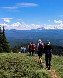
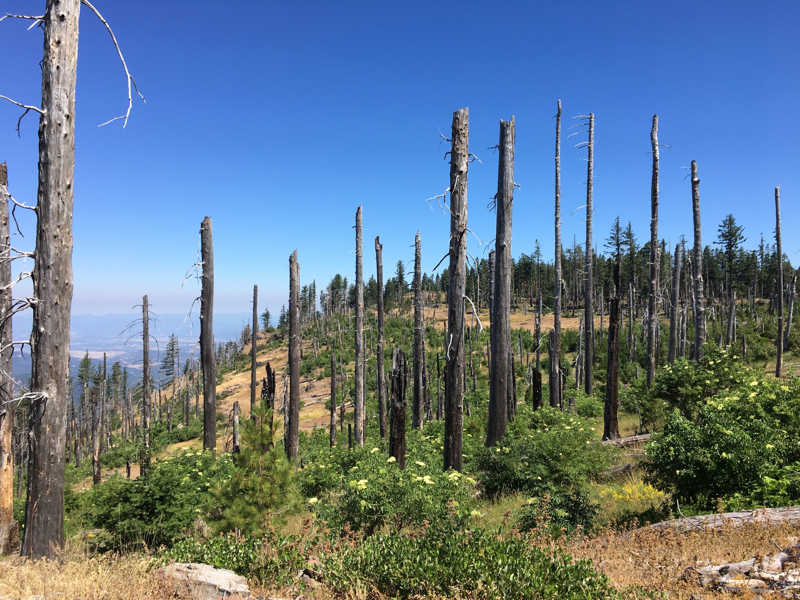
Grizzly Peak, a spot named for the last known grizzly bear in Oregon, is nothing short of amazing. Added to the Cascade Siskiyou National Monument in 2017, the peak sits at an elevation of 5,922 feet, offering a view of the Rogue Valley and the city of Ashland. There are also amazing views of the Cascades, including Diamond Peak, Mt McLoughlin, and Mt. Shasta in California. Part of the peak is recovering from a 2002 fire.
The well-traveled trail sets out, for the first quarter mile, through an impressive stand of Douglas-fir, three to four feet in diameter, with an understory of young grand fir. Multitudes of wildflowers—from tall purple delphiniums to more subtle wild onion—line the trail and populate several small meadows as the trail climbs through lichen-draped ancient forest of grand and Shasta red fir. At this elevation, trees grow more slowly, so it’s important to appreciate the size and structure that has developed over a few hundred years here. Some of the largest trees are beginning to literally fall apart as the younger trees begin to take over. Just over a mile into the hike, stay left at the trail junction to begin a 3-mile loop. In another half mile, you reach a rocky outcrop with manzanita, oak, and stunted Douglas-fir. The view from this area to the west is over Ashland, Emigrant Lake, and south to Mount Shasta. From here, the trail passes through a forest that burned in 2002. Early successional shrubs like ceanothus and elderberry form the understory, while young ponderosa pine and cedar saplings jockey for space. The trail leads past another rocky outcrop—a good place to venture off-trail a bit to find the best view—before it heads downhill through the burned forest again to complete the loop. Lupine, elderberry, and thimbleberry dominate this stretch. Wildlife—including songbirds and squirrels, deer and elk—seem to be thriving in the recovering burn area. After about a mile of the fire area, the trail heads back into the cool, mixed fir forest with scattered meadows to complete the loop. Turn left at the junction to head back down to the trailhead.
Getting There
Take Interstate 5 to exit 14 on the south side of Ashland, and head east on Oregon Route 66 toward Klamath Falls for just 0.7 mile. Turn left on Dead Indian Memorial Highway (yes, it’s a terrible name) and go 6.7 miles. Turn left on Shale City Road and travel 3 miles; then turn left on BLM Road 38-2E-9.2 at a less-than-obvious sign on the right-hand side of the road. Follow this gravel road for 1.7 miles, staying straight at a junction at 0.8 mile, to a large parking area and the trailhead.
Take Action
Oregon Wild has worked to defend the diverse forests in this area from aggressive logging and worked to uphold the designation of the Cascade-Siskiyou National Monument in court.


