Highlights
Difficulty: Moderate
Distance: 4 miles round trip
Elevation Gain: 350 feet
Season: Summer and fall
Notes: This hike is featured in “Oregon’s Ancient Forests: A hiking guide” – Get the book here!
Read more about the history of this area in Marina Richie’s blog post here.
About this Hike
The Wild and Scenic Imnaha River, stretching from the headwaters of its south fork on the eastern side of the Eagle Cap Wilderness to its confluence with the Snake River far to the north, is among the most beautiful river corridors in the state. The ancient ponderosa pines along the last few miles to the trailhead make for a lovely drive, though even in this wild and popular corridor these forests aren’t safe: past high grading and recent “fuels reduction” projects have led to the misguided logging of some of the ancient pines that grow here.
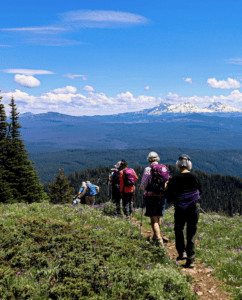
This hike follows the designated Wild & Scenic Imnaha River into the Eagle Cap Wilderness. Due to fires in the mid-1990’s, shade can be hard to come by in parts of the trail, but the river is always inviting and old-growth pine make this hike a favorite for locals trying to escape the crowds of tourists.
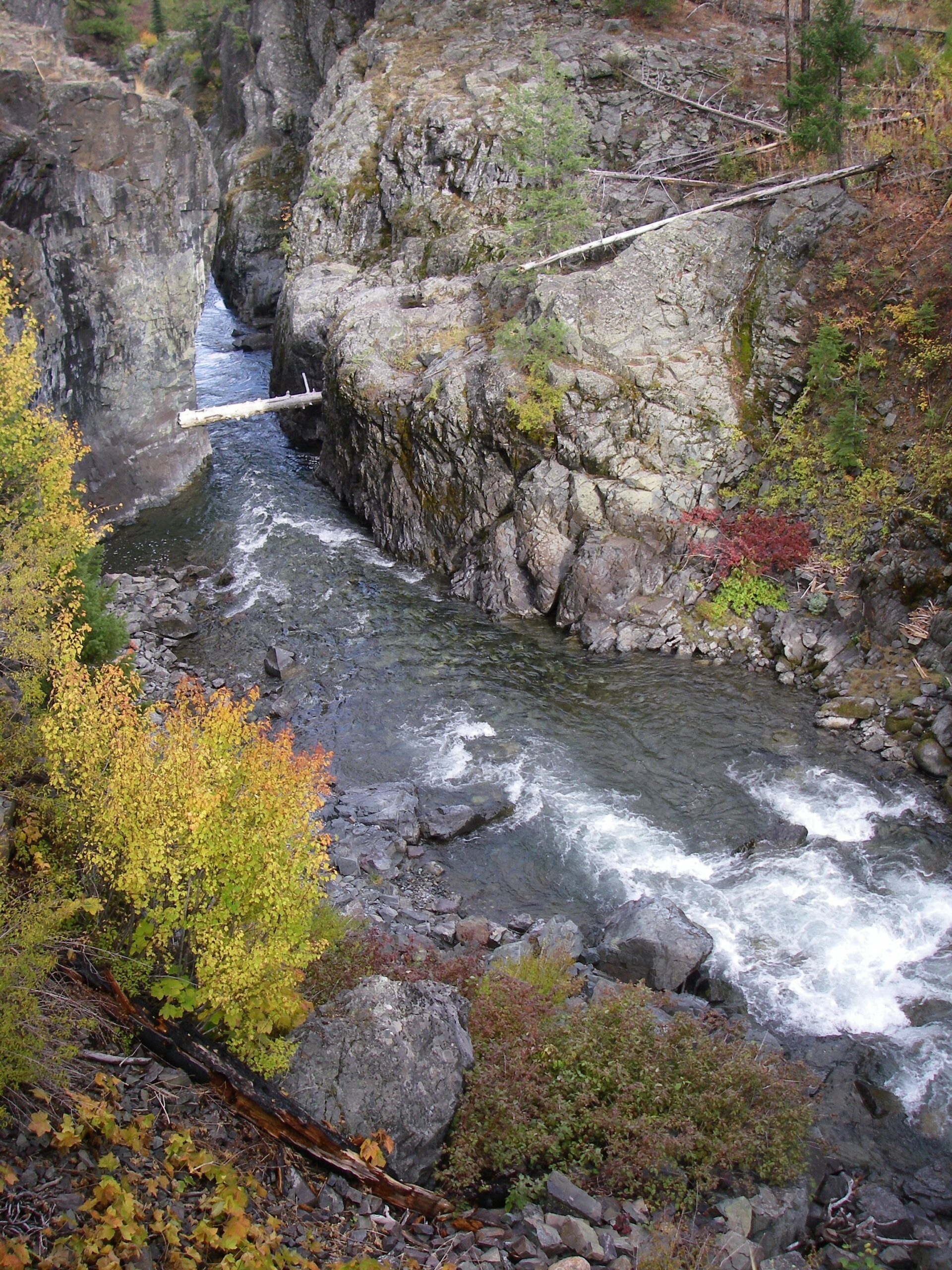
The trail is straightforward and well-marked. At about 0.6 miles, there is a faint split in the trail. Stay left. Enjoy the regenerating forest and views of the Imnaha River. You’ll cross the Wilderness boundary at 1.3 miles before entering a moist forest about a quarter-mile later. There’s a small stream crossing (sometimes bigger if the beaver are busy) at 1.8 miles before you’ll encounter rocky outcrops and the well-named Blue Hole to your left. Here you can wade into the icy cold river to cool off and look upstream into the narrow gorge of Blue Hole. Climb up the stairstep rocks to overlook the narrow canyon and peer into the clear blue water below.
Turn back, or consult guidebooks for additional hiking opportunities beyond Blue Hole and side trails. There is abundant camping in developed campgrounds nearby.
Getting There
From the town of Joseph, turn north onto Wallowa Street (County Road 350) toward Halfway and Imnaha. Follow this for 8 miles, then turn right on Wallowa Mountain Loop Road (Forest Road 39), also known as Hells Canyon Scenic Byway. This beautiful scenic drive passes through glacier-carved valleys and forests of lodgepole pine, larch, and other conifers. After 28 miles, stay right to follow the river and stay on FR 39. Two miles later, just past Black Horse Campground, turn right on FR 3960 at a sign for Indian Crossing Campground. Drive 9 miles on this paved road; then go a half mile farther on bumpy gravel to the road’s end at Indian Crossing Campground. Park in the lot near the restroom before coming to a bridge over the river. A $5 parking fee or permit is required here.
Take Action
Oregon Wild has worked to protect the wild lands here and the Imnaha Wild & Scenic River for decades. The River Democracy Act proposal would protect additional tributaries to the Imnaha. Take action to support this bill here.


