Highlights
Difficulty: Moderate
Distance: 4.4 miles round trip
Elevation Gain: 800 feet
Season: Year round, though roads may be inaccessible in winter
Notes: This hike is featured in “Oregon’s Ancient Forests: A hiking guide” – Get the book here!
About this Hike
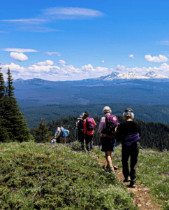
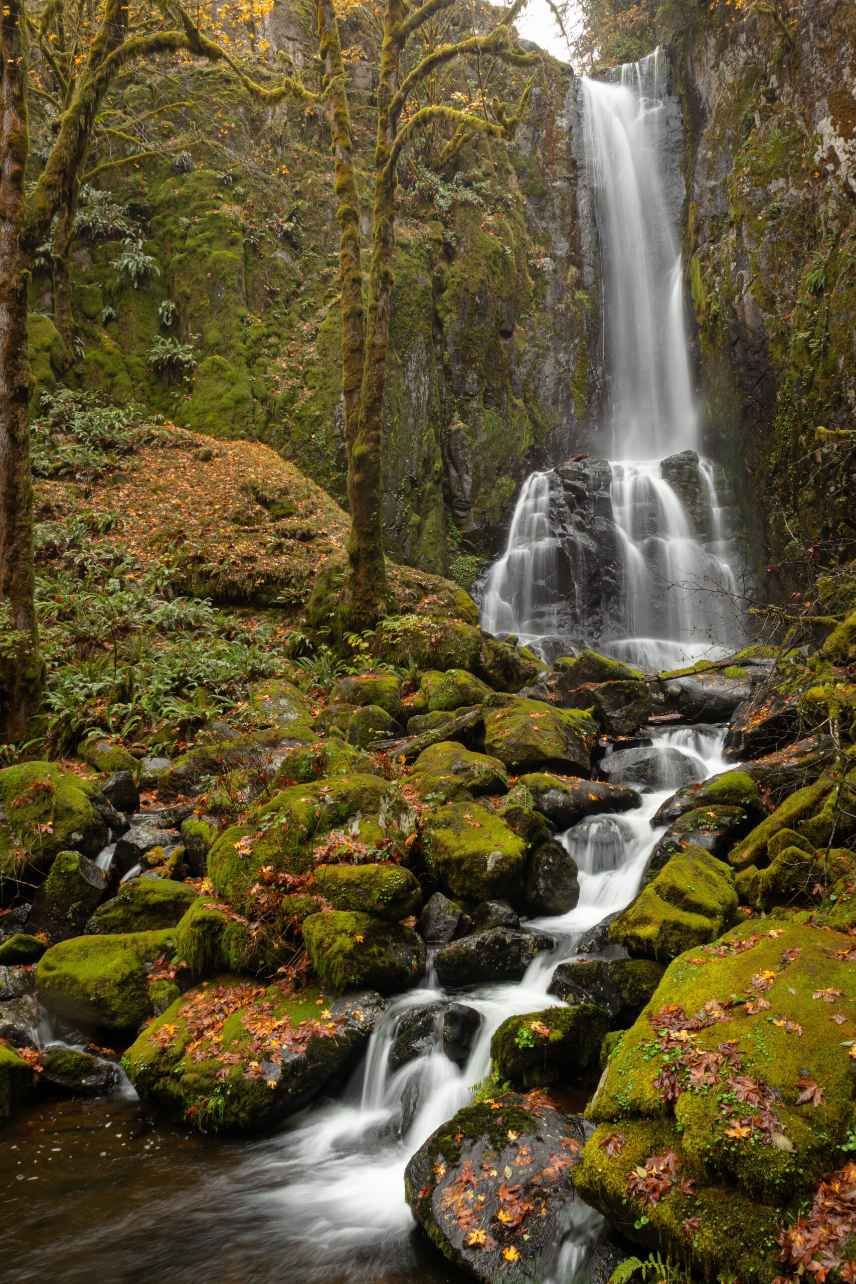
Beautiful year-round but especially nice in spring and fall, the Kentucky Falls Trail is buried deep in the Central Coast Range surrounded by a landscape heavily impacted by logging. But here, an ancient forest of Douglas-fir, hemlock, and hardwoods remains. From the Kentucky Falls Trailhead, follow Kentucky Creek, descend along a seeping rock wall to the base of the hundred-foot Upper Kentucky Falls in about three-quarters of a mile.
About another 1.4 miles in, after a switch-backing descent, the trail ends at an observation deck overlooking the impressively tall and powerful twin falls at the confluence of Kentucky Creek and North Fork Smith River. Exploring around the bottom of the falls is fun at low water levels.
Getting There
From Eugene, go west on Hwy 126 for 33 miles. Turn left at the Whittaker Creek Recreation Area sign between mileposts 26 and 27. Go 1.6 miles, and turn right to cross a bridge at another sign for Whittaker Creek. Continue for 1.5 miles, and then turn left onto Road 18-8-28.1 (Dunn Ridge Road). Follow this road for 7 miles until you reach a T intersection where the pavement ends; then turn left onto Knowles Creek Road (Road 18-8-9). Continue for 2.8 miles, then veer right onto Forest Road 919. Continue for 1.6 miles to a second T intersection and turn right onto paved FR 23. Continue for 2.8 miles to Kentucky Falls Trailhead.
Take Action
The River Democracy Act proposal would protect Kentucky Creek and the North Fork Smith River as Wild & Scenic Rivers. Take action to support the River Democracy Act here.


