Highlights
Difficulty: Moderate
Distance: 4.5 miles round trip (or 7.6 miles one way with shuttle)
Elevation Gain: 250 or 800 feet
Season: Late spring through fall
Notes: This hike is featured in “Oregon’s Ancient Forests: A hiking guide” – Get the book here!
About this Hike
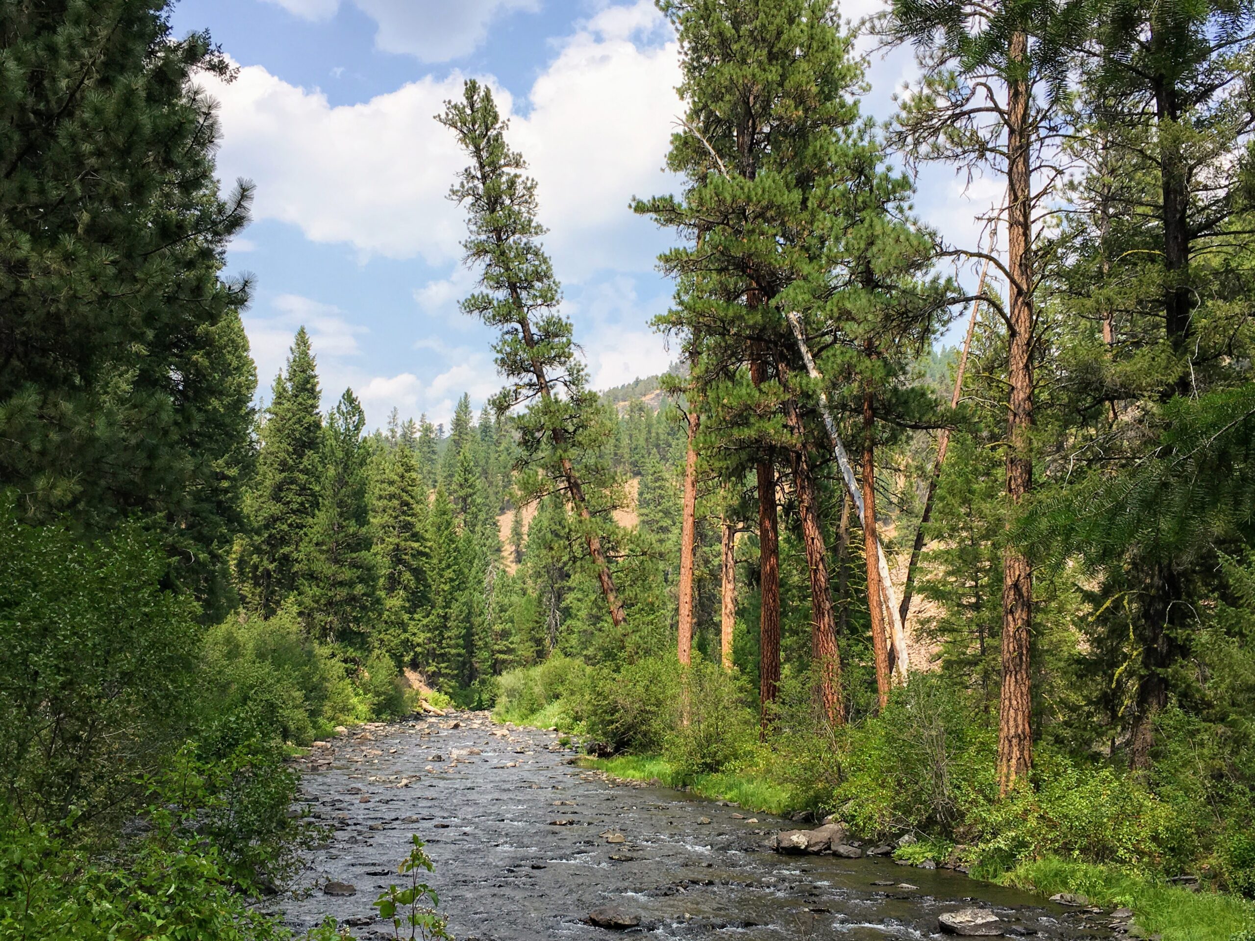
Follow the Malheur River Trail as it traverses along the steep canyon walls before dropping to scenic river banks of the Malheur Wild and Scenic River, lined with old growth pine, larch, and fir trees. Designated as a Wild and Scenic River, this remote trail provides travelers with unrivaled rugged beauty as well as solitude. Stop and fish for red band trout or look for eagles and osprey while negotiating this 7.6 mile trail. Hikers can choose to hike out and back, or leave a car at each end of the trail:
The Malheur River Trail begins about 5.5 miles from the river’s headwaters at the Malheur Ford, and heads downstream past steep canyon walls up to 1000 feet tall. The forest along the trail is dominated by big lodgepole (by lodgepole standards) and ponderosa pines and Douglas-firs, as well as diverse streamside and understory vegetation. After following close by the river for nearly a mile, the trail gradually climbs to a bench covered in big pines, many with burn scars at their base. After descending again to cross Miller Flat Creek, larch trees (a deciduous conifer) become more common. Between 1.3 and 1.5 miles the trail passes through the toe of a lava rock slope with huge Douglas-firs.
The trail has some steep up and down sections through rocky areas and views up the canyon, then descends again, crossing another small drainage, and at 2 miles you land in a beautiful stand of ancient larch trees, which goes on a short way. Turn around at 2.25 miles for the recommended hike, but know that the trail goes on another 6 miles to its southern trailhead on top of an arid plateau above the canyon at Hog Flat. If you’re able to do a car shuttle, you could start at this southern end (to descend, rather than ascend, the steep drop into the canyon) and hike the whole trail.
Getting There
From John Day on Hwy 26, head south on Hwy 395 for just under 10 miles and turn left onto County Road 65 (which turns into Forest Road 15) at a sign for Wickiup Campground. Follow this paved road 13.6 miles, then turn left onto FR 16 toward Logan Valley.
Or, from Burns on Hwy 20, head north on Hwy 395 to the town of Seneca. Turn right on FR 16. Continue straight at the intersection with FR 15 after 9.5 miles.
A little over 5 miles east of the intersection of FR 15 and 16, just before you get to Logan Valley, turn right just east of milepost 16 onto FR 1643. Follow this wide, flat gravel road for 8.7 miles; then take the left fork onto FR 1651 toward the Malheur River. Cross Dollar Basin and then descend the bumpy road—a total of 1.2 miles—to the trailhead and Malheur Ford (a total of 9.9 miles from the FR 16 turnoff).
Take Action
Oregon Wild has worked to protect the wild lands in this area and the Malheur Wild & Scenic River for decades. The River Democracy Act proposal would protect additional tributaries to the Malheur. Take action to support this bill here.


