Highlights
Difficulty: Strenuous
Distance: 11.6 miles round trip
Elevation Gain: 1,900 feet
Season: May through November
Notes: This hike is featured in “Oregon’s Ancient Forests: A hiking guide” – Get the book here!
About this Hike
Hike to the dramatic 200-foot tall volcanic plugs (Twin Pillars) that overlook the Mill Creek Wilderness, designated in 1984.
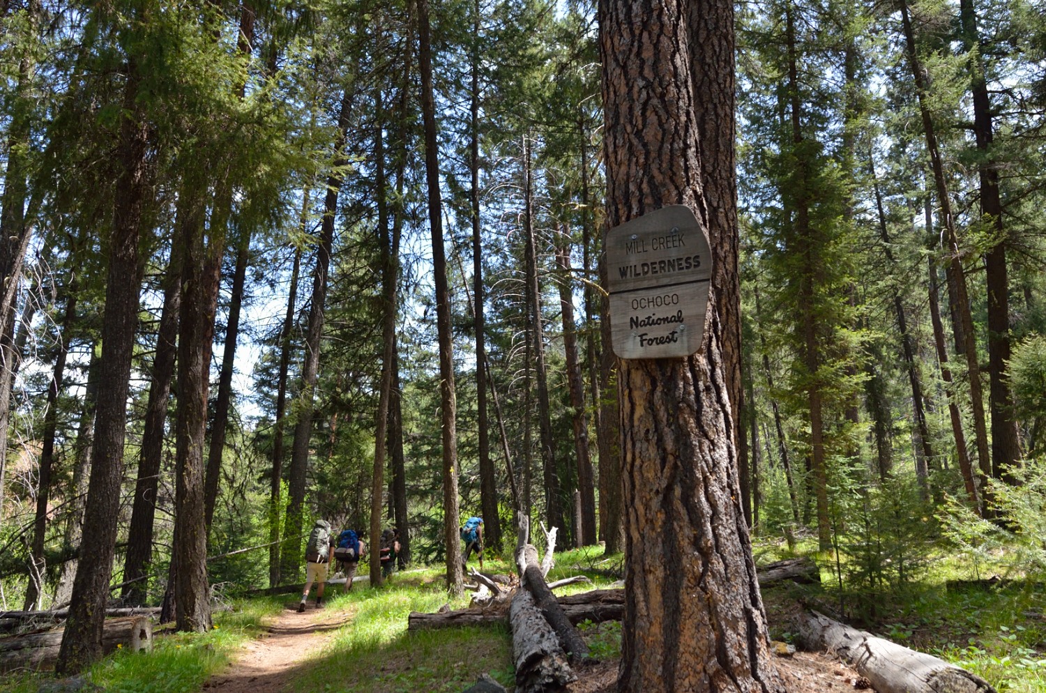
The trail, lined with wildflowers in the summer, begins on the west side of the canyon in a stand of ponderosa pine before coming to the first of eight stream-crossings along East Fork Mill Creek: be prepared to hop across on rocks and wood as there are no bridges and water levels vary throughout the year. After the first creek-crossing, the trail enters a dense canopy of Douglas-fir and ponderosa pine. It then drops back along the creek, where the riparian area is dominated by alder and willow trees. As the trail gradually ascends into the wilderness, note that the hillslopes outside of the riparian area are covered in a ponderosa pine and fir forest with a much sparser understory—a classic example of Oregon’s eastside forests where the vegetation varies wildly based on moisture, slope, soil, and aspect. Fire scars on old-growth ponderosa pines are visible around the fourth and fifth creek-crossings, demonstrating the species’ fire-resistant nature. By the time the trail reaches the sixth and seventh crossings, there is hardly any understory beneath the fir and pine forest. This allows for a view through the trees of an extensive burned area with many standing snags and dense shrubs. The trail ascends on the way to the eighth crossing where larch and ponderosa pine coexist in an open canopy structure. Then the trail heads down and across Belknap Creek before the final Mill Creek crossing at just over the 3-mile mark.
Leaving the moist soils of the riparian area behind, the trail takes a steep western turn out of the Mill Creek drainage and across the rolling landscape of the wilderness. As the trail enters the area that burned in 2000, there are sprawling views of the landscape covered in charred snags and a few pockets of living larch trees in protected ravines. Half a mile into the burned area, the trail crosses Brogan Creek before gaining 1400 feet of elevation in the next 2 miles. After a series of steep and sharp switchbacks, you will reach the base of the two-hundred- foot-tall Twin Pillars rock formations. The view from the pillars into the Mill Creek Wilderness is breathtaking, with glimpses of the Cascades on a clear day.
Getting There
From Bend, head north on US Highway 97 toward Redmond/Portland for about 15 miles. In Redmond, turn right to follow Oregon Route 126 east for about 17 miles toward Prineville. In Prineville, OR 126 becomes NW 3rd Street and US 26E. Continue on US 26E for about 9 miles and turn left onto Mill Creek Road (Forest Road 33) just past milepost 28. Travel just under 11 miles on FR 33 (half of it paved) to find the Twin Pillars South Trailhead on the right, just before Wildcat Campground.
Take Action
While the Mill Creek Wilderness area protected a good portion of this beautiful wild landscape, much of the surrounding Ochoco National Forest is under threat of logging. Management plan revisions could lead to weakened protections for large and old trees, and fail to protect remaining intact wild lands. The River Democracy Act proposal would protect some of the nearby streams that feed the Crooked River as Wild & Scenic Rivers. Take action for the Blue Mountains here.


