Highlights
Difficulty: Easy
Distance: 2 mile loop
Elevation Gain: 260 feet
Season: All year
Notes: This hike is featured in “Oregon’s Ancient Forests: A hiking guide” – Get the book here!
About this Hike
The redwoods in the Peavine Ridge area, between the California border and the Winchuck River, were once slated for logging – like so many other redwood forests. Oregon Wild pioneer Wendell Wood helped lead the charge to save this forest on Peavine Ridge. Today, the well-developed trailhead offers a beautiful example of a redwood forest.
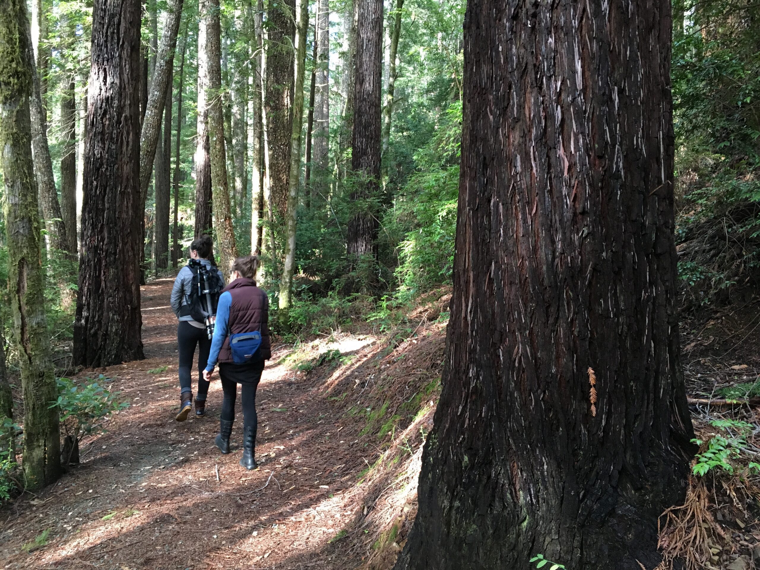
The trail starts out from the parking area past an informational signboard. This first part of the trail begins the half-mile accessible loop. Tall snags are mixed with tall living trees—redwoods, Douglas-firs, tanoak, and myrtle—along with rhododendrons and evergreen huckleberry in the understory. Ignore the trail that heads downhill a short way into the hike—that’s the return part of the longer trail.
Just 0.4 mile into the trail, the short accessible loop begins in a grove of truly enormous redwoods. Stay to the right and continue to the highlight of this loop: a burnt-out snag, at least twelve feet in diameter, that you can walk right into to explore the fire-sculptured interior. Shortly after, you’ll find the junction for the longer loop on the right.
This trail descends through a dense forest of younger trees and switchbacks down, following a headwater tributary to Moser Creek. Fat redwoods, some with large burls at their base, are scattered along the trail among Douglas-firs and tall rhododendrons. After about three-quarters of a mile on this longer loop, the trail begins to climb up another arm of Moser Creek past some gorgeous trees. The last quarter mile climbs up more steeply through a mostly younger Douglas-fir forest before you reach the main trail, turn right, and head back to the trailhead.
Getting There
One mile north of the Oregon–California border on US Highway 101 (6 miles south of Brookings) turn east (inland) on Winchuck Road (County Road 896) and travel 1.4 miles. Turn right on unmarked Peavine Ridge Road (Forest Road 1101) to cross the Winchuck River on a concrete bridge. Drive up this gravel road, which is a bit rough and muddy in areas (in the wet months, consider four-wheel drive), for 4.1 miles to the end of the road and a large parking area
Take Action
The River Democracy Act proposal would protect the headwaters of Moser Creek as a Wild & Scenic River. Take action to support the River Democracy Act here.


