Highlights
Difficulty: Strenuous
Distance: 5 miles round trip
Elevation Gain: 2,000 feet
Season: Spring through fall
Notes:
About this Hike
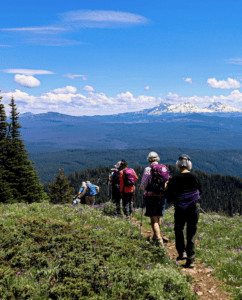
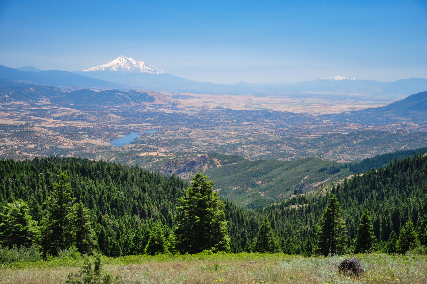
This hike is along the Pacific Crest Trail, and gains a considerable amount of elevation. At the top you’ll have breathtaking views of Mount Shasta, Mount Ashland, Pilot Rock and more. Head south on the PCT for 1.1 miles, and then turn left when you come to a trail junction. Follow this trail up switchbacks for 0.2 miles until you come to a steep dirt road. Go right on the road and continue for 0.8 miles to reach the summit. If you’re exploring this area in the summer, the fire lookout at the summit may be staffed.
Soda Mountain is at the junction of three different biological regions, which makes its plant and wildlife exceptionally diverse. It’s located in the Soda Mountain Wilderness, which gained protection when President Barack Obama signed the Omnibus Public Lands Management Act (HR 146) into law in March of 2009.
Getting There
Take exit 14 in Ashland off of Interstate 5 and head east on Highway 66 toward Klamath Falls for 14.5 miles. Turn right on Soda Mountain Road 39-3E-32.3 and follow this narrow gravel road for 3.7 miles. Once you reach a large set of power lines in a grassy area, park on the right just beyond the powerlines. Look for small brown posts marking the PCT, where you will begin.
Take Action
Oregon Wild has supported efforts to protect this area as Wilderness and as a National Monument for years. We’ve worked to uphold the designation of the Cascade-Siskiyou National Monument in court.


