Highlights
Difficulty: Strenuous
Distance: 5.6 miles round trip
Elevation Gain: 1,700 feet
Season: Early summer to fall; early July for best wildflowers
Notes: This hike is featured in “Oregon’s Ancient Forests: A hiking guide” – Get the book here!
About this Hike
The Three Pyramids, eroding ancient volcanic plugs, lie at the heart of the spectacular and diverse Old Cascades in the Middle Santiam watershed. The four-thousand-acre, unprotected roadless area surrounding the North, Middle, and South Pyramids lies just east of the Middle Santiam Wilderness and west of the higher-elevation wilderness surrounding Mount Jefferson. This lack of official protection means that some of the natural, mature forests along South Pyramid Creek and other nearby areas have been targeted by logging plans.
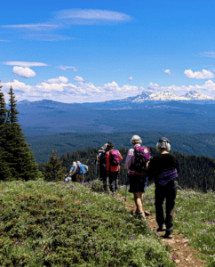
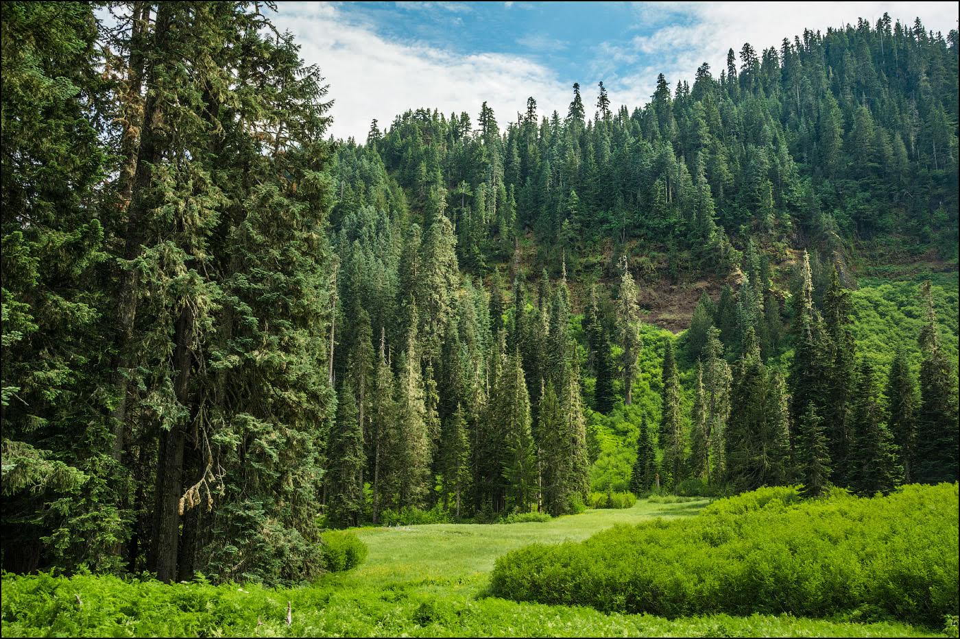
Start the hike by crossing the small North Fork Parks Creek and turning right at a junction with the South Pyramid Trail. Climb gradually but steadily along the stream’s gorge through a forest of old-growth noble fir, hemlock, silver fir, and Douglas-fir full of snags, down logs, woodland wildflowers, and patches of devil’s club. After 0.9 mile, cross the stream on rocks and logs and begin the climb up through a brushy meadow full of bracken ferns, salmonberries, and tall wildflowers. From here, the trail switchbacks up a steep ridge with views of the large meadow at the base of the eroding cliff that forms the southeast slope of South Pyramid. The lush shrubs and wildflowers overhanging the trail here are teeming with pollinators and hide some sections of rough trail, so watch your footing. Continue climbing in and out of forest and wildflower-filled openings, with huge noble firs standing out among the diverse species. Around the 1.6-mile point, the openings become rockier and the forest gains more Alaska yellow-cedar and mountain hemlock. Finally, at 2.4 miles, emerge onto a rocky ridge with views of mountains to both the left and right. The trail traverses this ridgetop to the west side of Middle Pyramid, passing the base of a tall cliff and then following a cool, north-facing slope, before climbing to a trail junction at 2.7 miles. Turn left to make the final quarter-mile push up the steepest part of the trail to reach the rocky saddle atop the Middle Pyramid. Here dwarf juniper and a whole host of alpine plants grow in the rocky crags. To reach the old lookout site on the summit, continue to the right and pick your way up through the rocks on the faint trail. From the top you can see most of the route you just followed, as well as Three Sisters, Three Fingered Jack, Mount Jefferson—and farther on a clear day.
Getting There
From Salem and Interstate 5, take Oregon Route 22 southeast for about 72 miles. Between mileposts 76 and 77 on OR 22, turn right onto Lava Lake Meadow Road (Forest Road 2067). From the south or east, travel to Santiam Pass on US 20 and turn north on OR 22 for 7.6 miles. Between mileposts 76 and 77 on OR 22, turn left onto Lava Lake Meadow Road (FR 2067). Follow this good gravel road for 1.9 miles and, after crossing the Parks Creek bridge, turn right on FR 560. Continue straight for another 3.5 gravel miles, passing through some logged private land and ignoring FR 840 on the left in 3 miles. The trailhead is at the end of the road, with plenty of parking in the big turnaround.
Take Action
Mature and old-growth forests like those found in the Three Pyramids roadless area provide vital wildlife habitat, drinking water, and are an important natural climate solution. Take action to defend these forests here.
Pyramid and South Pyramid Creeks are proposed for protection under the River Democracy Act as Wild & Scenic Rivers. Take action to support this bill here.


