Webcast: An adventure through Oregon and Washington’s geology

Just to the right of center below the sun you can see the Vista House, an observatory at Crown Point in Multnomah County, Oregon, that also serves as a memorial to Oregon pioneers and as a comfort station for travelers on the Historic Columbia River Highway. This shot was taken from Portland Women's Forum State Scenic Viewpoint.

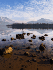
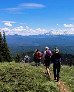
With its spectacular mountain ranges, lush valleys, and tumbling rivers, the Northwest landscape draws nature lovers and travelers from around the world. But the rain-soaked Coast Range, snow-capped volcanoes, and expansive high desert didn’t appear overnight—they were shaped by a variety of geologic processes over millions of years.

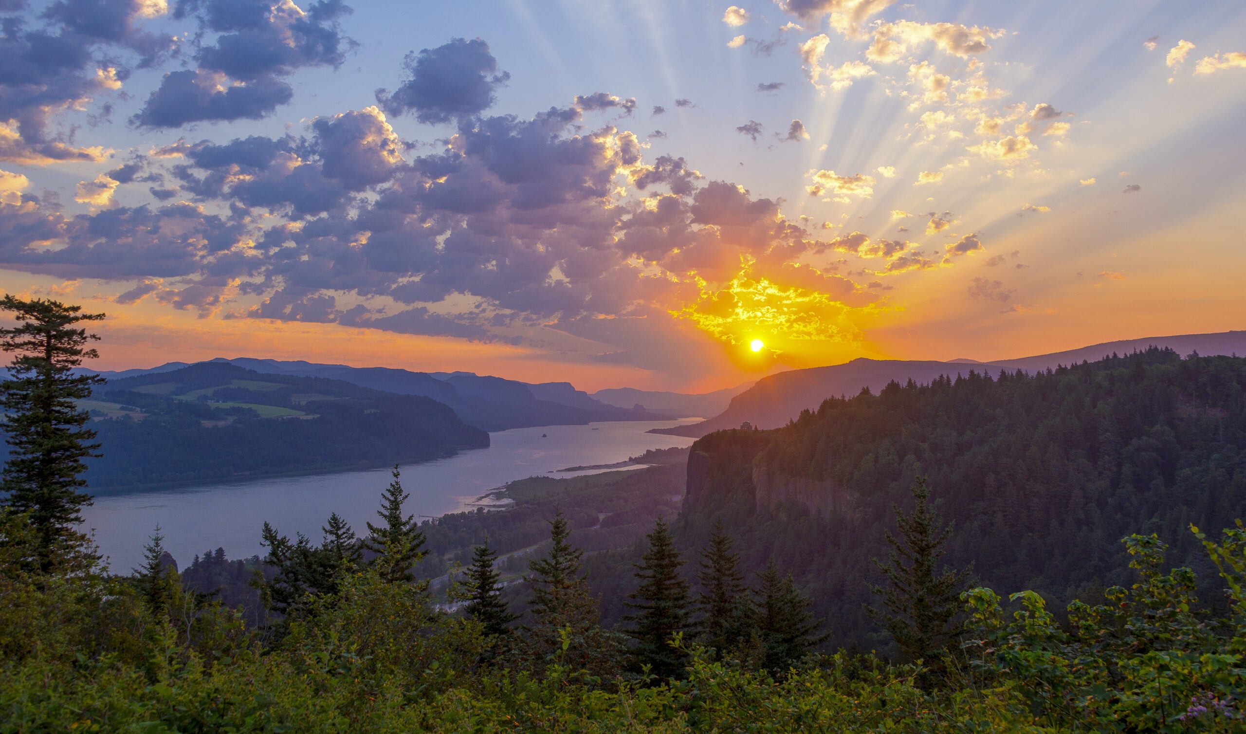
In this presentation, geologist and photographer Marli Miller joins us to explore the geology of Oregon and Washington as seen along federal and state highways. Starting with the region’s plate tectonic setting, she explains the process of continental growth that forms its diverse geologic foundation, followed by a photographic “road trip” through the Columbia Gorge to showcase some of the area’s younger features.

Visit Marli’s website Geologic Time Pics.

Join Our
Newsletter.

Staying informed is the first step to becoming a public lands and native wildlife advocate.