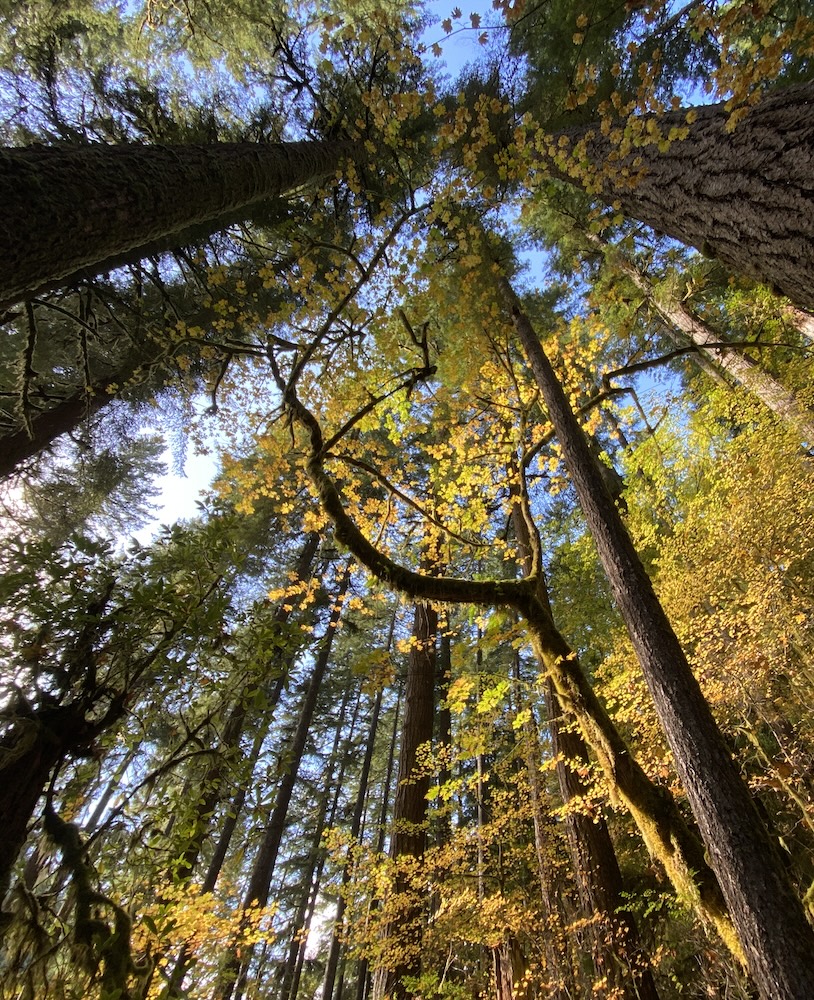
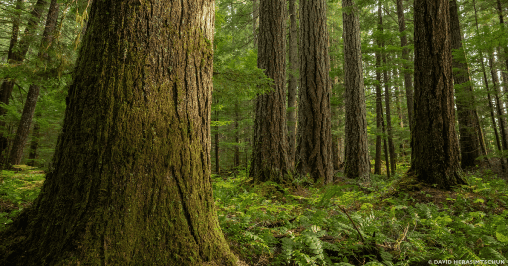
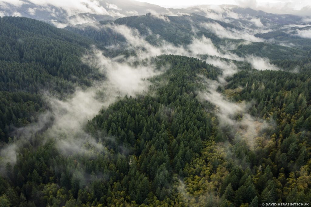
Defending the Northwest Forest Plan
Oregon Wild store
All Events
Oregon Wild condemned a new federal memo as a dangerous move to justify logging 60% of National Forest lands.
April 4, 2025
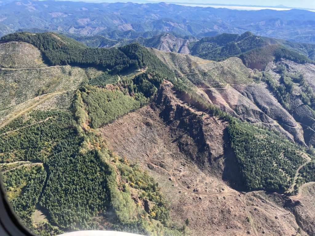
A federal court ruled against BLM’s illegal old-growth logging, protecting Late Successional Reserves from increased fire risk and habitat destruction.
April 1, 2025
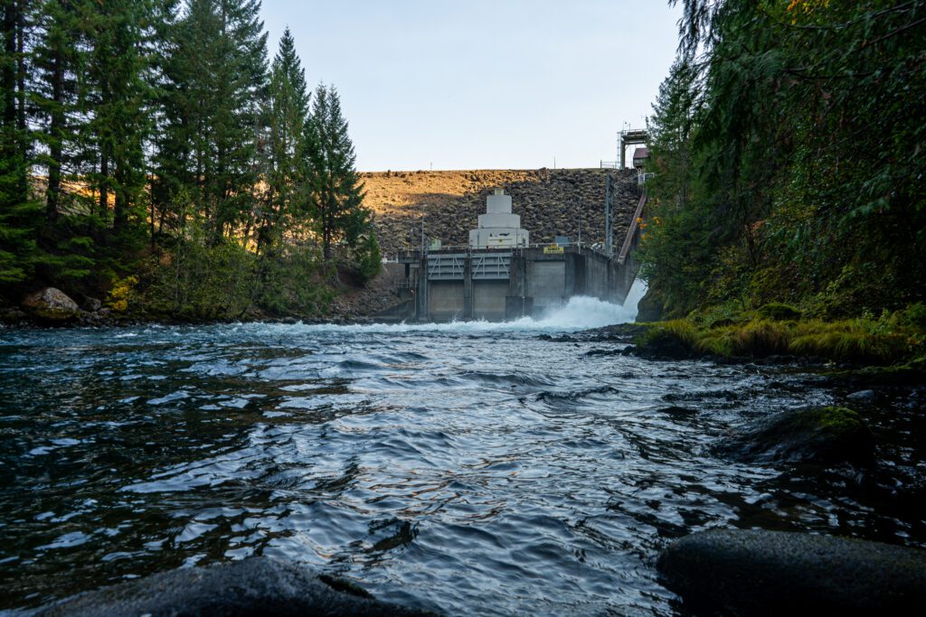
The Carmen-Smith Hydroelectric Project and Trail Bridge Dam do not provide fish passage, endangering Chinook salmon and bull trout.
March 17, 2025
The Trump administration has issued a sweeping executive order that prioritizes industrial logging over the health of America’s forests.
March 4, 2025
"Trump has now set his sights on looting the American public’s forests."
March 1, 2025
Join us at the 43rd annual Public Interest Environmental Law Conference at the University of Oregon in Eugene.
February 25, 2025
Oregon Wild remains committed to protecting our forests, rivers, and wildlife—and to standing with those who do the same from within the system.
February 14, 2025
Public listening sessions on the Northwest Forest Plan are happening soon—this is our chance to stand up for our forests!
February 7, 2025
The world of forest conservation lost a fierce advocate this week. Jim Furnish headed the Siuslaw National Forest in the Oregon Coast Range and was Deputy Chief of the US Forest Service during his 34 year career with the agency before he retired in 2002. It’s not every day Oregon Wild lauds a Forest Service […]
January 16, 2025
Oregon Wild is excited to announce Quinn Read as its new Executive Director!
January 15, 2025
A settlement with the Forest Service will protect mature and old-growth forests, northern spotted owl habitat, and carbon storage.
January 14, 2025
Oregon Wild calls on Governor Kotek and the Board of Forestry to appoint a reform-minded leader to address the agency’s toxic culture, enforce the Private Forest Accords, and prioritize environmental protection.
January 10, 2025
Staying informed is the first step to becoming a public lands and native wildlife advocate.