By: Marina Richie
Also a part of this series:
North Fork Umatilla Wilderness: Saved by a Trout?
Saving the Big Trees of Badger Creek as Wilderness – A Lucky Break
Hardesty Mountain Roadless Area: Vigilance, Close Calls, & Heroes
Lookout Mountain: Roadless Beacon of the Ochocos
Beloved Metolius River
Every Wild Place Has a Story
“Our responsibility as life tenants is to make certain that there are wilderness values to honor after we have gone.” – William O. Douglas
Snap snap, SNAP! Then came the whooooooosh and a thud that shook our popup camper by the Imnaha River in the predawn. Wes and I felt the reverberation from 150 yards away. Later, we found the Douglas-fir bridging a river channel near a beaver dam. The gunfire-like snaps were roots popping as the living tree tipped over and pulled up a wall of soil and roots 20 feet high, plus shaking loose a snaking section of the bank.
Curious to look at the tree’s crown, we waded across the frigid waters to the other side (with the help of two beaver-chewed sticks for balance). Among a whorl of green needles, I spotted something bizarre— brown fur, dainty hooves, and a skull. How had an elk calf ended up draped over a branch way up high in the fir?
Did a cougar climb to the topmost branches with his or her prey?
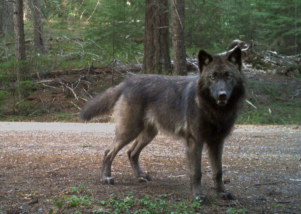
This tree had stories to tell. The Imnaha, too, whispers of wolf howl, salmon splash, and kingfisher plunge. The river runs through one of the largest intact wildlands remaining in the Pacific Northwest. It’s here where one of the world’s most famous wolves—OR-7 or Journey—romped as a pup with his Imnaha pack in 2009. He would head across Oregon tracing wildlands wherever he could all the way to California to find a mate.
Rob Klavins, eastern Oregon field representative for Oregon Wild, calls the Imnaha River a microcosm for all that’s at stake in the region—from habitat connectivity to big wildlands. The first moose spotted in Oregon was on the Imnaha River in 1960. The first wolf returning to Oregon crossed the Snake River in the vicinity. If grizzly bears find their way into the Wallowas, the Imnaha corridor beckons.
Threatened chinook salmon still spawn in the upper Imnaha after swimming some 550 miles from the ocean and navigating eight dams. White-headed woodpeckers nest in centuries-old ponderosa pine snags. Black bears feast on summer huckleberries. Bull elk bugle in fall when larches flame golden on steep hillsides. The lone wolverine of the Wallowas (named Stormy) roams the Imnaha country seeking a mate.
Within the homeland of the Nimiipuu, the Nez Perce, the Imnaha River flows 77 miles from headwaters at 8,000 feet within the Eagle Cap Wilderness (Oregon’s largest) to 950 feet at the confluence with the Snake River in Hells Canyon, deepest gorge in North America.
Designated a Wild and Scenic River in 1988, the Imnaha crosses boundaries of Wilderness, Hells Canyon National Recreation Area, and some private lands in the lower stretch. Passaging east and then north down through every ecosystem in the region, the Imnaha serves as a vast climate refugia in a warming world.


Threatened Wildlands
Not all the wildlands of the Imnaha country are protected. Sadly, the Imnaha also is a microcosm for the increasing logging threats across the region under the guise of “restoration.” Logging and roading frays and fragments climate refugia. The key to cold, clear waters, biodiversity, wildlife corridors, and carbon storage of large trees is to keep wildlands intact.
The Morgan Nesbit timber project covers a staggering 87,000 acres adjacent to the Eagle Cap Wilderness and intruding into the Imnaha River wilds. Half the proposed commercial logging is within the Hells Canyon National Recreation Area. But thanks to organizing by Greater Hells Canyon Council and Oregon Wild in 2023, the offices of the Wallowa Whitman National Forest were flooded with comments opposing the logging. The planning process is ongoing, and activists know it’s not over while the trees still stand.
Take action on this project! Comments are due December 19.
The fate of the Imnaha’s unprotected roadless areas buffering the Wilderness and the river is in our hands.

Contemplating the high stakes today, it helps to turn to the past and be reassured. It’s always been hard, yet there’s camaraderie among all who stand shoulder to shoulder protecting wildlands and rivers. The wins of the past should give us hope for the future—no matter what the politics.
Past Successes Inspire: Oregon’s Biggest Wilderness
Without tireless advocacy, the 359,991-acre Eagle Cap Wilderness we know today would have been far smaller. In 1930, the alpine meadows, lakes, and peaks garnered recognition as a primitive area. In 1940, the Forest Service designated the area as wilderness with a small “w”, meaning that status could be lifted if political winds shifted to favor development. The Wilderness Act of 1964 assured protection under the National Wilderness Preservation System, but only for the Eagle Cap core. In 1972, Congress added the Little Minam River and expanded some of the Wilderness perimeter. However, those 73,419 acres came at a price—with certain lands declassified from an earlier protective status. The crown jewel of the Lower Minam was handed over to the Forest Service to study for potential Wilderness.
Enter the grassroots group “Save the Minam,” led by the inimitable Loren Hughes (worthy of an entire book!). The group prevailed. Congress added the Minam’s 67,711 acres under the Oregon Wilderness Act of 1984. The victory was far from easy. For example, Boise Cascade timber company put out a full-page ad focusing on northeast Oregon, calling the House Bill “An ‘Un-Natural’ Disaster! We can do without.”
Supreme Court Justice William O. Douglas
One famous champion of the Minam and Eagle Cap Wilderness was William O. Douglas who served longer than any other chief justice on the U.S. Supreme Court (from 1939-1975). He summered on the Lostine River, one of the main entryways to hike to the lakes basin and Eagle Cap.
It was Douglas who ultimately saved the Snake River from a dam that would have flooded Hells Canyon. He wrote the majority opinion for the 1967 Supreme Court favorable ruling on a Sierra Club challenge represented by a young lawyer named Brock Evans (still championing the wilds from La Grande). The fight to stop the High Sheep Mountain Dam led to the formation of Hells Canyon Preservation Council in 1967. Now the Greater Hells Canyon Council (GHCC), the grassroots group works to save wildlands throughout much of the Blue Mountains.
Seven years later, in 1974, Oregon Wild entered the scene as Oregon Wilderness Coalition, a scrappy group fighting for the wilds and taking on big timber—as they do today—50 years and many wins later and now with thousands of members. (Check out this video celebrating the anniversary!)


Hells Canyon: Troubled Waters, Threatened Forests
Both groups (now GHCC and Oregon Wild) worked hard for the passage of the 1976 Hells Canyon National Recreation Area Act that covers 652,488 acres with the deep gorge as the centerpiece. However, the first signs marking entries to the National Recreation Area (NRA) were not put up until 1984. In the intervening years, the Wallowa-Whitman National Forest’s most visible early management in the NRA was logging. From 1976-1986, the agency sold 78.6 million board feet of timber. Considering only a third of the area is forested, that’s a heavy dose. In 1982, loggers dragged trees through Lick Creek, a tributary of the Imnaha, right as salmon tried to spawn. In fact, the Columbia River Intertribal Fish Commission filmed logging in spawning grounds of the Imnaha protected by 1855 treaty rights.
When researching my investigative journalism thesis (Troubled Waters, Threatened Forests, Hells Canyon National Recreation Area, 1988), I interviewed Allen Pinkham, then chairman of the Nez Perce Tribal Executive Committee. “The treaty is very strong,” Pinkham said. We need to exert that power to preserve the fishing—not just the right to fish, but the right to have the fish back.”
Today, those words are more relevant than ever as the future of chinook salmon depends on removing the four dams on the lower Snake River and keeping spawning habitats safe from logging and other degradations.
Back in 1986 and ’87, perhaps the most egregious timber sale in the recreation area was called “Skook,” located above the upper Imnaha River area. Boise Cascade hauled out 3.2 million board feet on roads built at twice the width specified in the contract. They cut giant ponderosa pines, western larch, and standing dead trees. Environmentalists and tribes fought to save big trees , but it was a tough time. Hiking the hillsides above Imnaha near Skookum Creek today, there are still beautiful pines and larches remaining, even as stumps tell the story of what was lost.
Enter Mike Higgins: Friends of Lake Fork
Close to the Imnaha River is the Lake Fork Roadless Area, not far from Pine Valley, where Mike Higgins lived for decades before moving to Baker City in the summer of 2023. Higgins serves on the GHCC advisory board. In the summer of 1986, Mike and his wife Donna Higgins hosted a small group of like-minded folks at their home in Halfway.
While the subject was serious, the proposed logging of wildlands around Lake Fork Creek, there’s a humorous story that Mike Higgins likes to share about Tim Lillebo (eastern Oregon field representative of what was then Oregon Natural Resources Council), who initiated the gathering that would lead to a lasting environmental movement in Pine Valley.
“With an enthusiasm never before witnessed in the environmental community, the step that Tim took from the front porch of the Higgins home to the front yard, in pursuit of yet another map, imprinted an indelible mark on the Friends of Lake Fork Group,” Higgins wrote. Lillebo failed to notice a screen on the door and fell right through it, taking the screen with him.
Friends of Lake Fork convinced the Pine Ranger District to stop their logging plans, citing harm to elk and to late-season flows for irrigation, since unlogged forests hold and slowly release water. It was a great victory for the roadless area outside of the Hells Canyon National Recreation Area. However, within the boundary where protecting natural values was supposed to take precedence, the Forest Service continued to log and propose new sales.
I joined Higgins when he led a 1988 field trip to see freshly torn up muddy meadows, stumps, and slash in the aftermath of the Cold Grave timber sale, which cut down large spruce and grand fir growing among bogs and springs by Duck Lake Campground (just outside Lake Fork). Even the timber sale project officer Gerald Magera admitted they failed to protect the bogs as heavy logging equipment churned through delicate sphagnum wetlands within a forest of ideal habitat for lynx and fisher. Despite the damage, what remained of the delicate area would be designated a Research Natural Area in 2010.
Three environmental groups (Friends of Lake Fork, then Hells Canyon Preservation Council, and Oregon Natural Resources Council) sued the Forest Service to stop the next sale called Duck Creek and within the recreation area’s part of Lake Fork roadless area. That lawsuit went to the Ninth Circuit Court of Appeals and, in 1989, the ruling in favor of the appellants set a precedent. The Court found the agency negligent in writing rules and regulations governing timber cutting in the recreation area, and gave environmental groups the right to file for injunctions to stop sales until new rules were in place. Unfortunately, the agency logged Duck Creek as the case went through the courts.


Making Progress
In the intervening decades, conservationists have achieved impressive feats in safeguarding this wild part of the region. For example, in 1994, Greater Hells Canyon Council (GHCC) won a lawsuit validating the ecosystem and wilderness protection priority of the recreation area. Other 1990s wins included protecting bighorn sheep from lethal diseases by eliminating domestic sheep grazing within Hells Canyon National Recreation Area. GHCC also defeated legislation that would have allowed unlimited jet boat use on the Wild and Scenic parts of the Snake River. A 2014 Snow Basin court case saved more than 40,000 large trees from being logged adjacent to the Eagle Cap Wilderness and led to strengthening the East Side screens to better protect trees 21 inches and larger.
Rallying for Wilds Today
As we prepare for this next Trump presidency and an all-out attack on the environment, we can take heart by looking to the past. The Imnaha River country holds immense promise if we can keep the wilds intact and enough people come to know and love this place to speak up for the future.
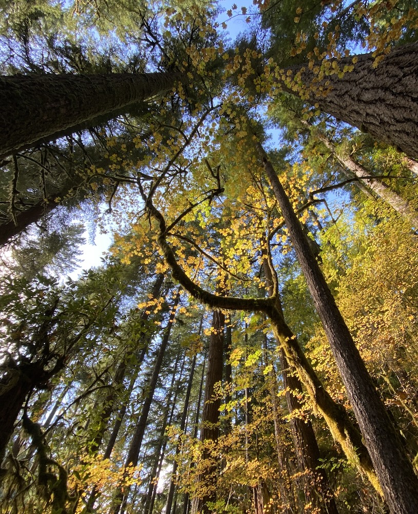
Returning to the Douglas-fir that fell across the Imnaha River on a July day and nourished the wild waters, I would add this reminder. Go out in the wilds. You never know what drama will unfold. Feel the power of wind, water, thunderstorm, and ancient forests exhaling oxygen. No matter where you live, become an activist. Every little bit we do matters, from saving trees in a local park to joining forces with Oregon Wild and local grassroots groups in defending wildlands.
See it for yourself:
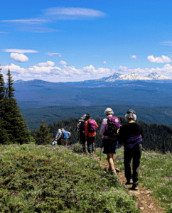
Take the Hells Canyon National Recreation Area Scenic Corridor linking Joseph to Halfway. Stay in one of several campgrounds on the upper Imnaha River corridor. Hike the trail from Indian Creek Campground into the Eagle Cap Wilderness—also a section of the Blue Mountains Trail. Along the two miles leading to the Blue Hole, notice the way wildfire in the Wilderness has renewed meadows favored by hundreds of elk. This hike (as well as others in this Wallowas region) is featured in Oregon’s Ancient Forests, a Hiking Guide, by Chandra LeGue, Oregon Wild (Buy it here!)


