Highlights
Difficulty: Moderate
Distance: 4.5 miles round trip
Elevation Gain: 950 feet
Season: Late spring through late fall, access depending on snow
Notes: This hike is featured in “Oregon’s Ancient Forests: A hiking guide” – Get the book here!
Read more in this blog post from December 2024.
About this Hike
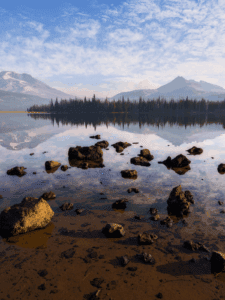
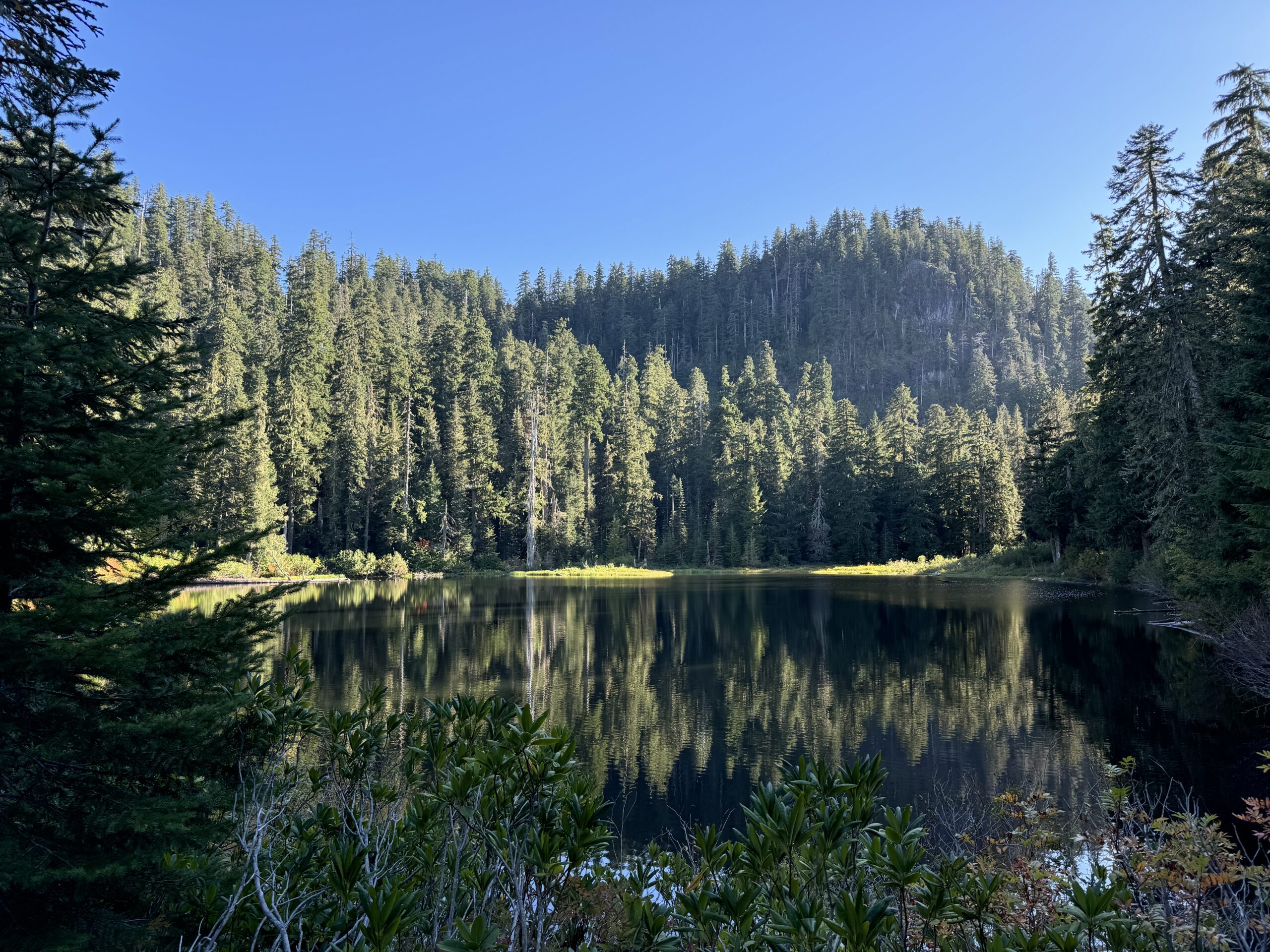
Here you’ll find some of the oldest and largest trees in Oregon – a truly spectacular forest surrounds Crabtree Lake that sits terraced inside a unique glacially-carved valley. The rock formations likely spared the Valley from fire, allowing the biggest trees to reach their current size and maturity. This hike is quite remote, and the road system and trail can be hard to follow so use caution and come prepared.
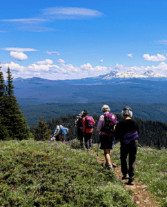
Begin the trail by crossing a rocky barricade and following the old road along a basalt cliff. In a quarter mile, take in the spectacular view of Mount Jefferson to the east before turning sharply to the north and descending gradually into Crabtree Valley along the west face of the wall that protects the valley. The road gets more trail-like as it descends, and it can be rough in places – especially where a landslide brought down a large tree and boulders. Views into the valley, across the tops of old-growth trees, include the interesting peaks of Carolyn’s Butte on the north end of the valley, Carolyn’s Crown near the lake, and Crabtree Mountain to the south. When you reach the bottom after about 1.6 miles, scramble down to the gravel road to the left, turn left, and follow this road 0.6 mile south, with Crabtree Creek on the left. The forest of Douglas-firs, western redcedars, and Pacific silver firs that line the route grew back after a fire three centuries ago. You’ll pass an open area where other old roads once connected, and continue to a concrete barricade. Walk around it and follow this old road through a tunnel of alders, gradually uphill another quarter mile to the edge of Crabtree Lake, where rough-skinned newts can be seen floating in the placid water.
At the lake, turn left to cross the outlet creek on rocks. Go a few hundred feet, look for a side trail to the left, and take it through a patch of trees to a wide open rocky plateau covered in lichen and flowers. Walk north toward its edge to find a patch of Alaska yellow-cedar and a view over the wet meadow, the valley, and Carolyn’s Butte. You can also see previously logged plantations lining the slopes. Head back to the lakeside trail and continue to follow it around to the east side, a quarter mile total. On the way, pass a huge western redcedar on the right side of the trail before entering a towering forest of Douglas-fir and western hemlock. Devil’s club, salmonberry, huckleberry, and down logs crowd the trail, making it a little hard to follow. But persevere: near the far southeast corner of the lake, follow a natural left turn to go off-trail into a beautiful open stand of stunning and huge Douglas-firs. In this area the ancient trees are six to nine hundred years old, having lived through past fires—look for burn marks on their bark. Explore the clumps and massive individual trees in this grove (making sure to keep some landmarks in sight so you don’t get lost) Retrace your steps to return to the parking area.
Getting There
From the town of Sweet Home, head 4 miles east on US Highway 20 and turn north onto the Middle Santiam River Road at a sign for Green Peter Dam and Quartzville. Drive 20 miles on what becomes Quartzville Access Road along Green Peter Reservoir. At milepost 20, turn left on Yellowstone Access Road (BLM Road 11-3E-35.3). Follow this paved, but slightly rough, road for a total of 6 miles—staying left at the first Y and right at the second one at 2.8 miles onto Road 11-3E-35.1 (if in doubt at a road junction, stay on the pavement). When you come to a T intersection after 6 miles, turn left onto Road 11-3E-16 and continue on this rough road (go slowly and be careful) for 0.9 mile to its end. Parking is in the road-end clearing.
Take Action
Oregon Wild has worked to defend the ancient forests in this area (and on other BLM lands) for years. The River Democracy Act proposal would protect Crabtree Creek from its headwaters at Crabtree Lake as a Wild & Scenic River. Take action to support this bill here.


