

More logging, mining, and grazing are the focus of the Blue Mountains Forest Plan Revisions, impacting nearly 5 million acres of public lands in NE Oregon and SE Washington
Contact for more information
Today, the Forest Service unveiled a revision to the Blue Mountains Forest Plan, a management proposal that encompasses three National Forests and nearly 5 million acres of public land, primarily located in eastern Oregon. The revisions cover the Malheur, Wallowa-Whitman, and Umatilla National Forests and envision significant changes to management across the region, including the elimination of enforceable standards for protecting fish and wildlife habitat, planning for the removal of Roadless Area protections, and prioritization of industries like logging, mining, and grazing over other values. By eliminating standards and protections, the Forest Service’s preferred alternative anticipates tripling the amount of logging across the landscape.
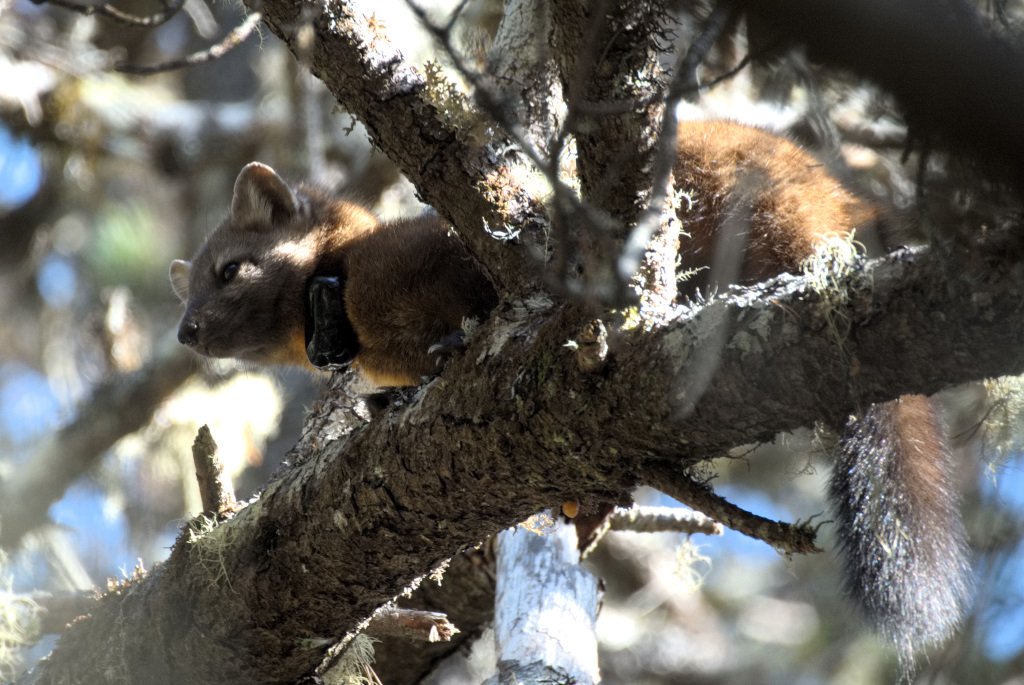
The plan revisions would impact several well-known areas such as the Wallowa Mountains, Joseph Canyon, the North Fork John Day River, Malheur Canyons, the Elkhorn Crest, and Anthony Lakes. These landscapes include elk, wolverine, moose, great grey owls, and a sizeable portion of the state’s wolf population. The region is also home to salmon, including coho salmon reintroduced by the Nez Perce tribe.
“This plan seeks to open up and pillage one of the wildest places left in the US,” said Lauren Anderson, Climate Forests Campaign Manager for Oregon Wild. “The Trump administration is already taking a hatchet to protections for water, wildlife, and the public’s voice. This plan is that philosophy in action, putting at risk the very values that make the Blue Mountains special.”
The Hells Canyon National Recreation Area (HCNRA) is not included in the plan revisions, though the Morgan Nesbit Forest Resiliency Project – an 86,500-acre logging project that partially covers the HCNRA – is moving forward concurrently with the Blue Mountains Plan Revisions.
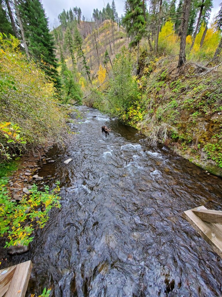
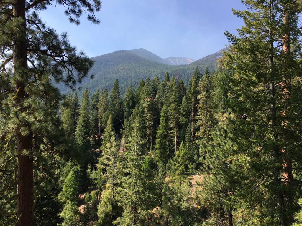
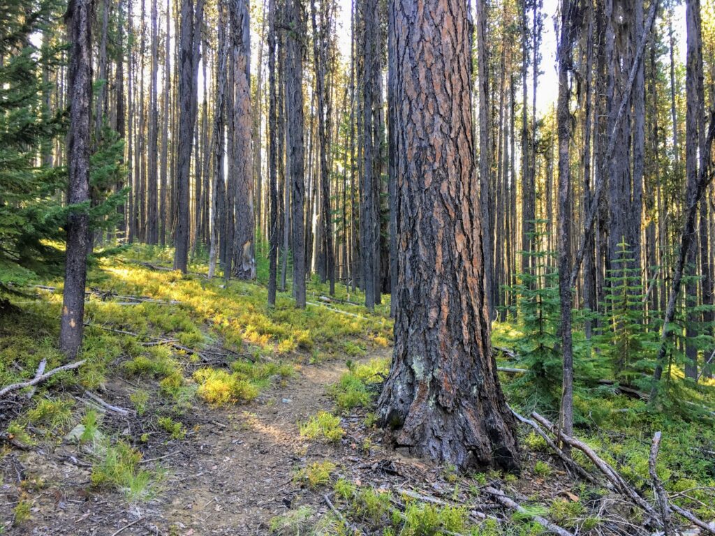
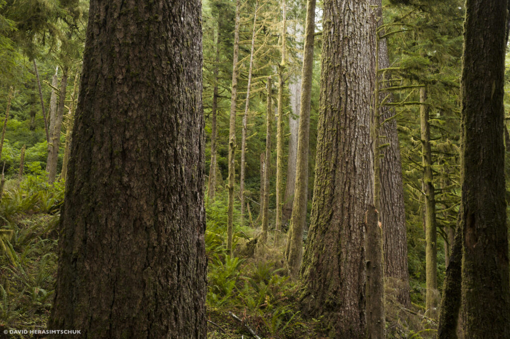
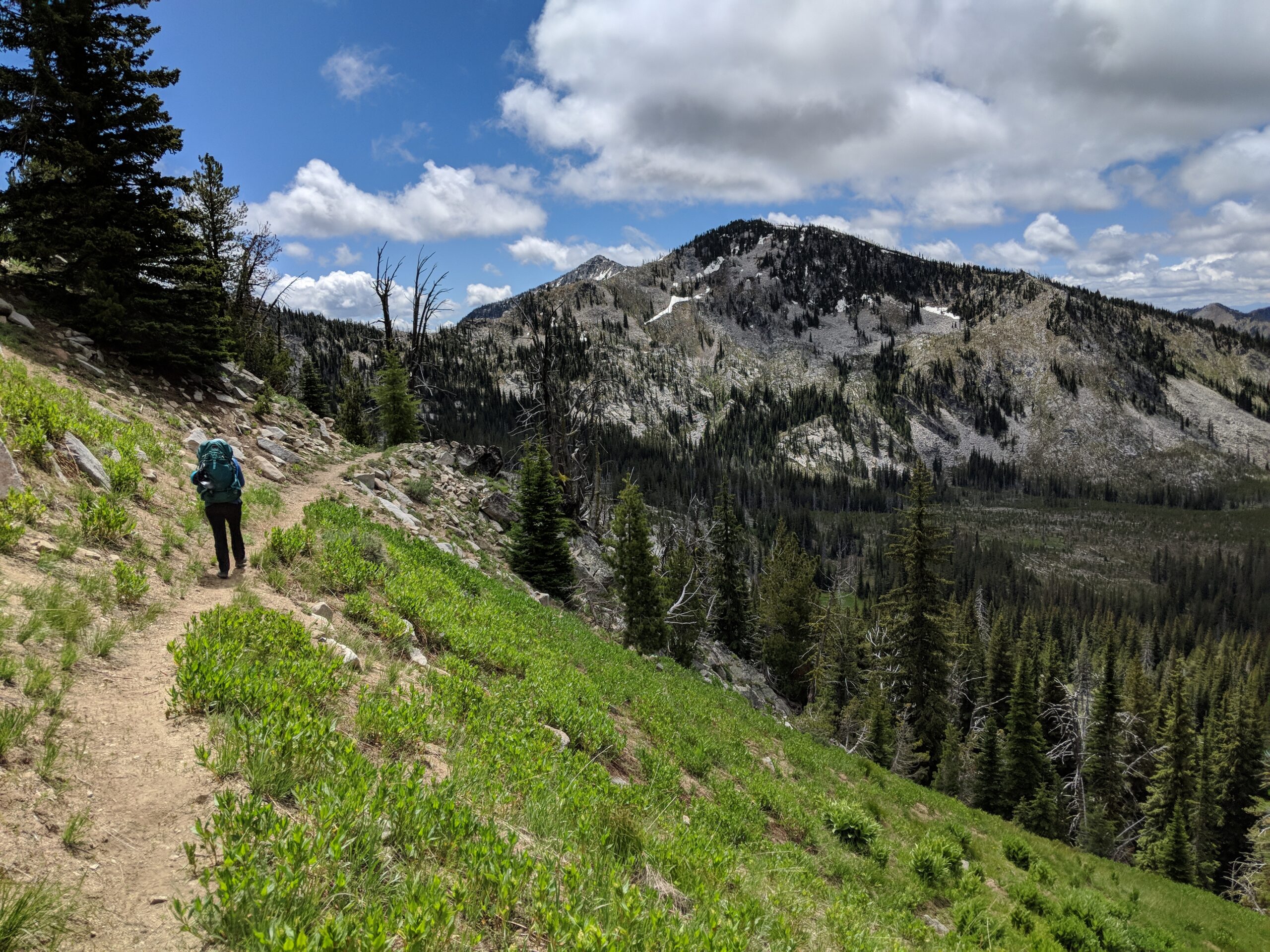
| The Blue Mountains Forest Plan revision would significantly change the administration of nearly 5 million acres of public lands across the Malheur, Wallowa-Whitman, and Umatilla National Forests. |
The Trump Administration’s Blue Mountains proposal would:
- Triple commercial logging output from current levels
- Eliminate the 21-inch rule that protects large old trees
- Reduce protection for riparian areas to allow more logging and grazing
- Eliminate road density limits that help ensure elk security habitat
- Eliminate protections for 721,000 acres of existing inventoried roadless areas
- Increase “targeted” livestock grazing, an unproven method of fuel reduction with serious adverse effects
- Reduce eligible Wild and Scenic River miles
The revised forest plan for the Blue Mountains proposes to reverse the Eastside Screens and PACFISH/INFISH, which have protected the last intact areas of our National Forests, mature and old-growth trees, and salmon and trout streams, respectively.
“Over the last few decades, we’ve finally started to reverse the damage from decades of exploitation and overharvesting,” said Anderson. “Now, the Trump Administration is reversing all of those protections and going back to the failed logging, mining, and grazing policies that were polluting our streams and pushing ecosystems toward collapse.”
The preferred alternative also presupposes the rescission of the Roadless Rule, opening up previously protected areas to new roads and commercial logging. Roadless Areas that the Forest Service’s proposal would eliminate include Huckleberry Mountain, Bear Creek, Walla Walla River, Cottonwood Creek, Greenhorn Mountain, Glacier Mountain, and Twin Mountain, among many others. Roadless Areas are critical habitat for many species, with new roads and development threatening to spread invasive species, remove and fragment habitat, degrade drinking water, and increase fire risk.
“Most of the new logging proposed under this plan will be happening in Roadless Areas. They are already revving up the chainsaws and bulldozers to carve up these protected areas. The administrative process isn’t even complete!” said Sami Godlove, Central Oregon Field Coordinator for Oregon Wild who has been leading the campaign to protect Roadless Areas. “The Trump administration and logging lobbyists have tried to sell the elimination of the Roadless Rule as something other than a timber-grab. This plan revision exposes that argument as a blatant lie.”
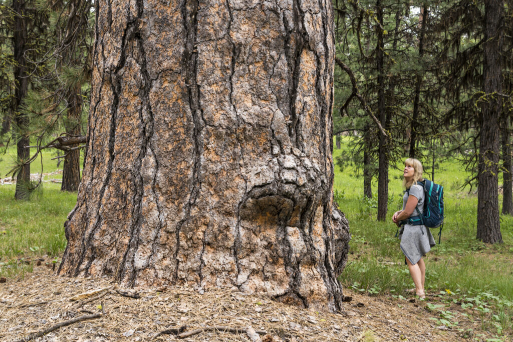
The Forest Service’s preferred alternative also removes protections for large and old trees, and opens the door to commercial logging of old-growth. The first Trump administration attempted to remove these protections – called the 21-inch rule – as a last-minute action before leaving office in 2021. That unlawful proposal was vacated after conservation groups, including Oregon Wild and the Greater Hells Canyon Council, challenged it in court. Research indicates that the large trees targeted by the agency make up just 3% of the trees in the landscape but provide disproportionate ecological benefits, serving as wildlife habitat, cooling waterways, and storing roughly 42% of the above-ground carbon.
“The first draft of this plan was outlined in a series of exclusive planning meetings convened by the agency and industry-aligned politicians,” said Anderson. “It shouldn’t surprise anyone that this plan prioritizes destructive logging, mining, and grazing. It was the cheerleaders for those industries that steered the ship.”
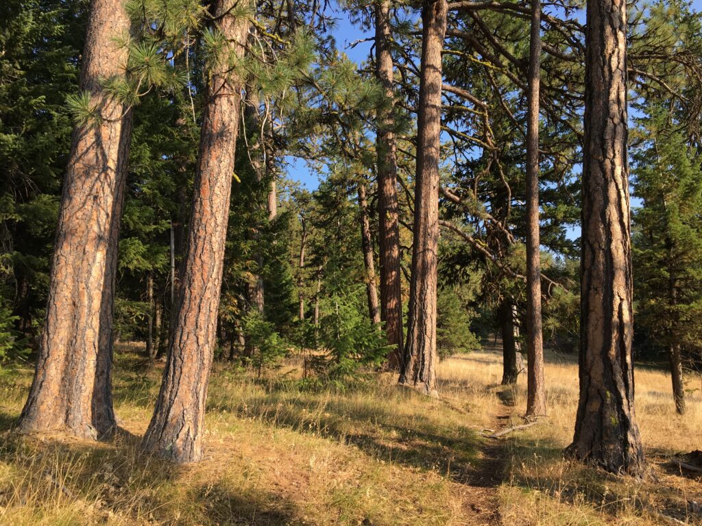
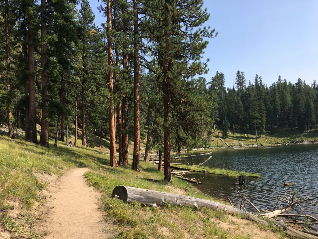
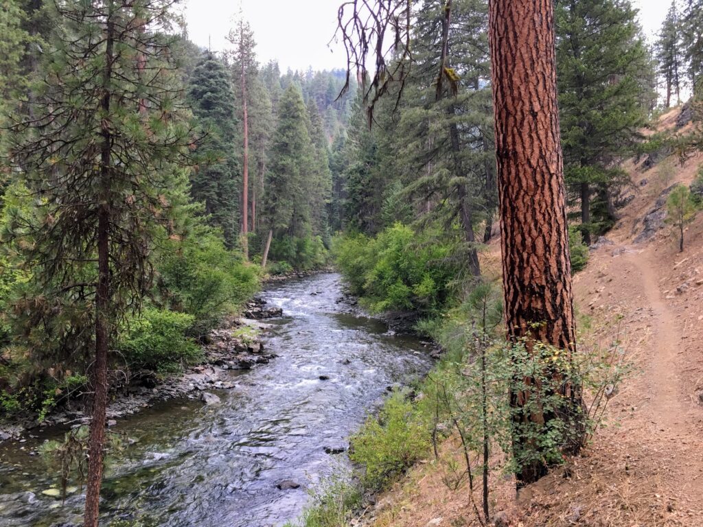
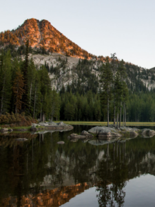
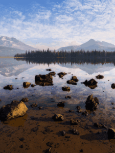
| Threatened Forests and Rivers: Cougar Ridge, Magone Lake, and Eagle Creek |
The National Forests included in the Blue Mountains Plan Revisions have long been in violation of their own standards for road density. High road densities impact wildlife and drive some species, like elk, out of their preferred habitat. When elk shift out of the National Forests due to road disturbance, they graze on private lands, and can lead to conflict with private landowners. The new revision fails to address this issue and, coupled with new announcements from the Trump administration to eliminate travel management regulations, will increase conflict and harm big game populations.
The plan also fails to address persistent problems with livestock grazing. Conservationists have frequently reported the degradation of mountain meadows and trout streams by livestock, including livestock found in exclosure areas, damage to sensitive streams, springs, and wet meadows, overgrazing, and livestock kept illegally on public lands months beyond permitted grazing seasons. However, there has been little enforcement of these standards and, as a result, Federal rangelands across the Blue Mountains face persistent degradation.
The Forest Service offered a series of public meetings over the two-week period that preceded the unveiling of the official plan revisions. However, these meetings did not offer an opportunity for meaningful public comment since the official proposed plan revisions had not been unveiled. Previous public comment offerings around the process similarly confused the public, as there was not a standardized method to receive public comment, nor was it clear during any of these events that feedback from the public was being invited and on what topics.
The Forest Service is now offering a 90-day comment period to engage on the draft proposal. Conservation organizations are urging the public to learn about the unique features and values of these public lands, and submit comprehensive and substantive comments that demonstrate to agency leaders the need to conserve protections for this landscape.
The public can submit their comments to the USDA before the close of the comment period on September 30, 2026.
###