

Standing up for Oregon’s Blue Mountains
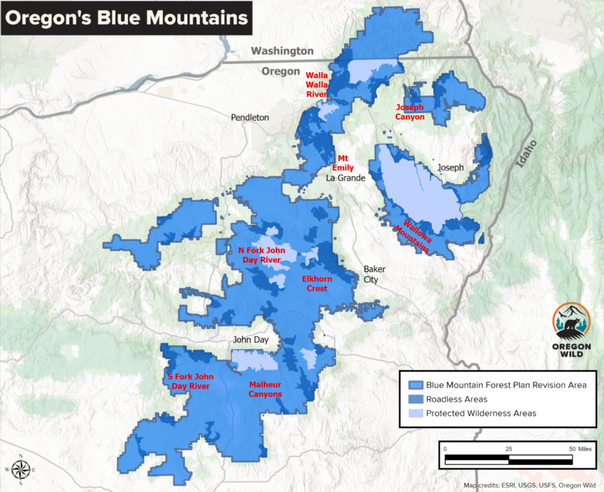
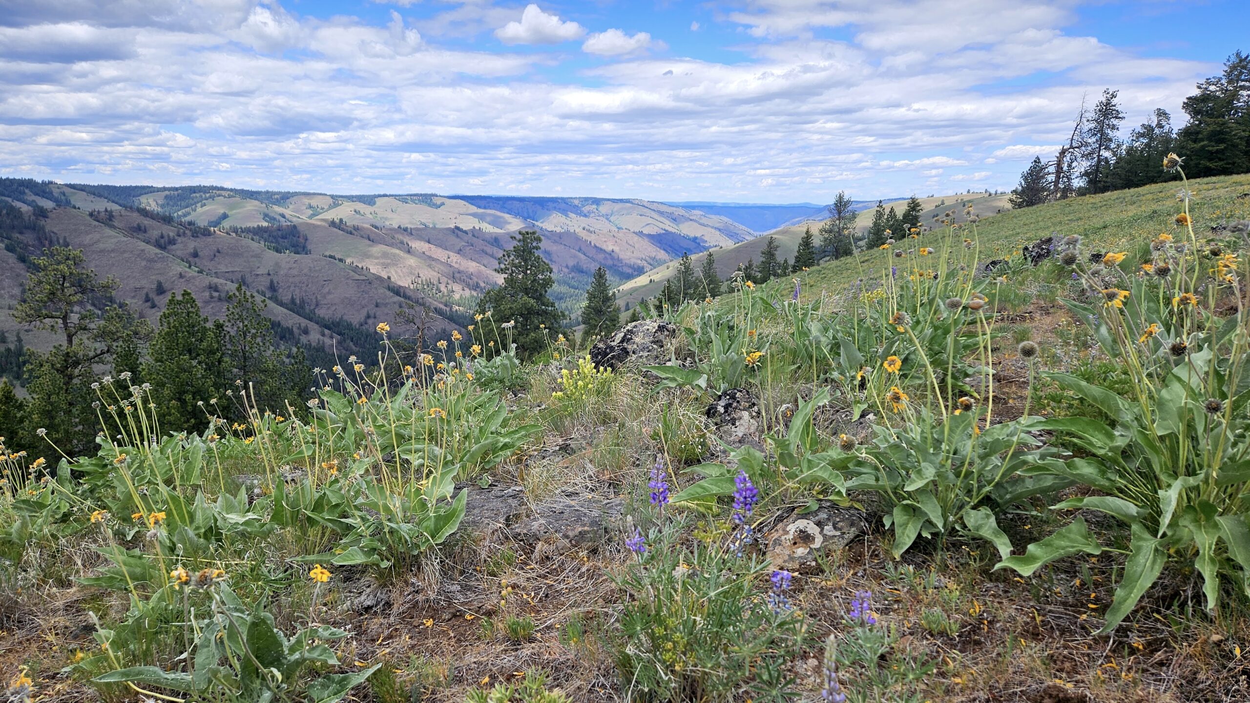
The Forest Service’s proposed revision applies to management plans for the Umatilla, Wallowa-Whitman, and Malheur National Forests in the Blue Mountains ecoregion of northeastern Oregon and Southeast Washington. The region has long been recognized as important for biodiversity, climate resilience, wildlife habitat, recreation, and clean water. Places impacted by the plan revisions include the Wallowa Mountains, Joseph Canyon, the North Fork John Day River, the Malheur River, and the Elkhorn Crest.
The outcomes of this process will determine how one of the most wild and beautiful ecosystems in Oregon is managed, and whether future generations will inherit healthy forests, clean water, abundant wildlife, and wild places that still feel wild.
Speak up for the Blue Mountains ecoregion!
Submit your comment weighing in on the proposed Blue Mountains Forest Plan Revision. Comments are due September 30, 2026
-
What’s so special about the Blue Mountains?
The Blue Mountains region spans a huge diversity of habitats, elevations, and forest types making it a vital connector for biodiversity between the Rocky Mountains, the Columbia Plateau, and the Cascades. The region has some of the wildest areas left in Oregon, with intact forests in and surrounding protected Wilderness areas including the North Fork John Day, North Fork Umatilla, Strawberry Mountains, and Eagle Cap. World-class rivers dissect the region, with pristine tributaries flowing to the Grand Ronde, Umatilla, Malheur, John Day, Snake, and Walla Walla Rivers. People come from around the world to explore these rivers and wild lands.
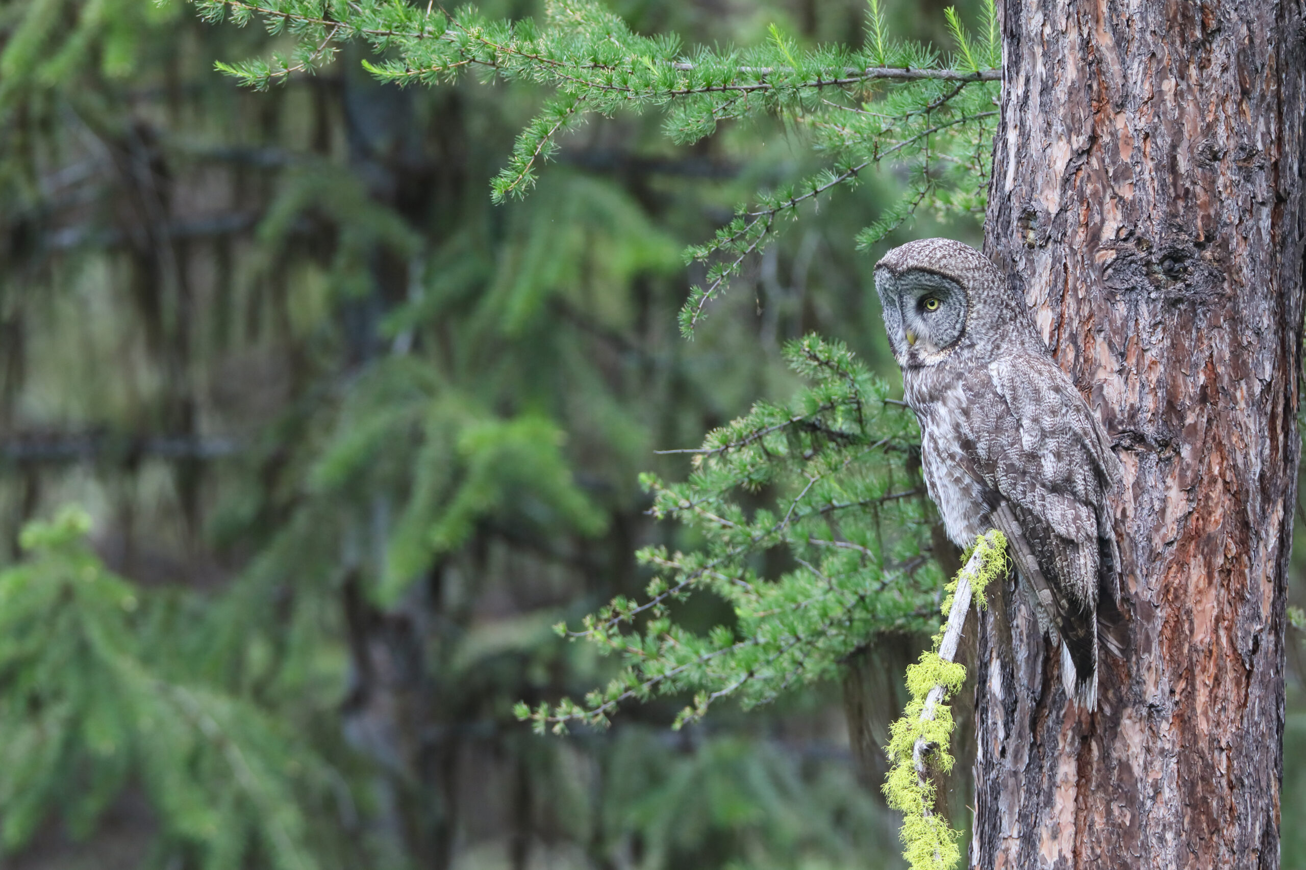
Wildlife thrive in the Blue Mountains. The landscape includes elk, wolverine, moose, great grey owls, and a sizeable portion of the state’s wolf population. It is also home to salmon, including coho salmon reintroduced by the Nez Perce tribe.
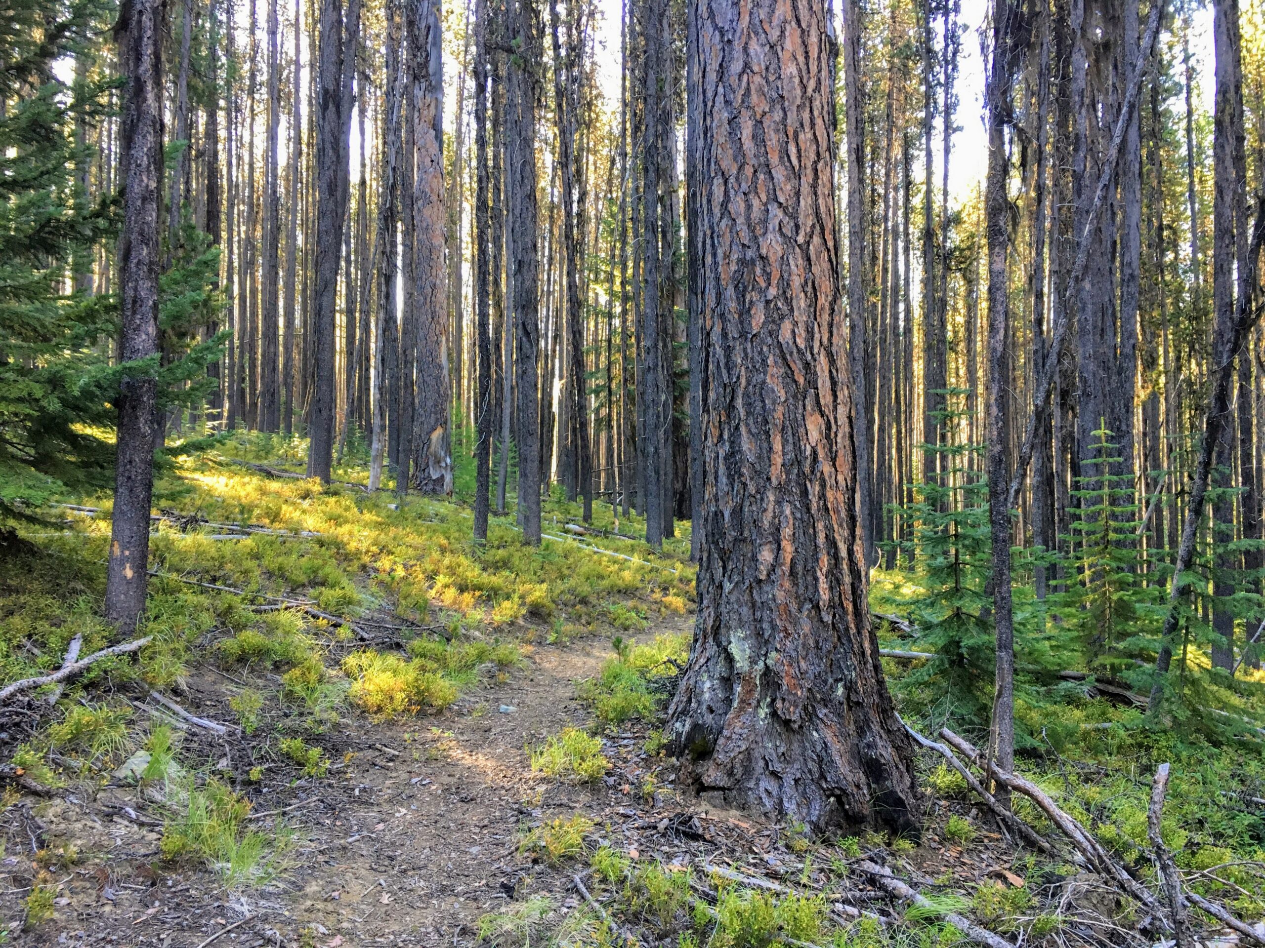
Despite decades of logging and grazing that has altered these habitats, important mature and old-growth trees and forests remain. Research indicates that large trees (over 21” in diameter) in the region make up just 3% of those on the landscape, but provide disproportionate ecological benefits, serving as wildlife habitat, cooling waterways, and storing roughly 42% of the above-ground carbon.
-
What is being proposed?
The draft Blue Mountains Forest Plan revision was issued by the Forest Service July 2, 2026 and impacts three National Forests (the Malheur, Wallowa-Whitman, and Umatilla National Forests), primarily located in eastern Oregon. The Hells Canyon National Recreation Area (HCNRA) is not included in the plan revisions.
The Trump Administration-led revision envisions significant changes to management across the region, including the elimination of enforceable standards for protecting fish and wildlife habitat, planning for the removal of Roadless Area protections, and prioritization of industries like logging, mining, and grazing over other values. The revised forest plan also proposes to remove policies which have protected the last intact areas of our National Forests, mature and old-growth trees, and salmon and trout streams.
The plan revision fails to address important issues like road density and livestock grazing. High road densities in the region violate Forest Service standards and negatively impact wildlife species including elk. Persistent problems with livestock grazing include degradation of mountain meadows and trout streams by livestock, overgrazing, and violations of grazing permits.
Specifically, the proposal would:
- Triple commercial logging output from current levels
- Eliminate the 21-inch rule that protects large old trees, opening the door to commercial logging of old-growth forests
- Reduce protection for riparian areas to allow more logging and grazing
- Eliminate road density limits that help ensure elk security habitat
- Eliminate protections for 721,000 acres of existing inventoried roadless areas
- Increase “targeted” livestock grazing, an unproven method of fuel reduction with serious adverse effects
- Reduce eligible Wild and Scenic River miles
The public can submit their comments to the USDA before the close of the comment period on September 30, 2026.
-
Part of a larger attack on public lands
The Blue Mountains Forest Plan Revision does not stand on its own, but rather seeks to implement direction by the Trump administration to remove environmental protections for public lands.
Executive Orders to maximize extraction
Orders issued over the past year put a renewed focus on resource extraction on public lands, including logging, mining, energy production, and grazing. Federal agencies have been directed to dismantle regulations and policies that protect the environment and public interest in favor of policies that benefit wealthy corporate interests and at the expense of public involvement. These directives underpin the purpose and need for forest management plan revisions.
Eastside Screens repeal
The Eastside Screens, a policy put in place in the early 1990s that prohibited the logging of trees over 21” in diameter, was an effort to protect the largest trees left on the landscape in eastern Oregon and Washington after decades of logging. A rushed effort by the first Trump administration to revoke these protections was ultimately found to be illegal. However, the Plan Revision proposes to remove protections for these large trees.
Roadless Area Conservation Rule repeal
In the summer of 2025, the Trump administration revealed its proposal to repeal the 2001 Roadless Area Conservation Rule. The Rule protected 2 million acres in Oregon (a third of which is found in the Blue Mountains), from new roads and commercial logging. The preferred alternative for the Blue Mountains Forest Plan Revision assumes the rescission of this rule, opening up previously protected backcountry areas to these damaging activities, putting at risk favorite recreation sites, important cultural sites, wildlife habitat, and drinking water.
Repeal of the Roadless Rule in the Blue Mountains would impact designated Roadless Areas at Huckleberry Mountain, Bear Creek, the Walla Walla River, Cottonwood Creek, Greenhorn Mountain, Glacier Mountain, and Twin Mountain, among many others.
Dismantling federal agencies and funding
Reducing the federal workforce and restructuring federal agencies has been another priority of the Trump administration. Many career biologists and public lands managers were forced to take early retirement, others were flat-out fired. This purge has led to a loss of capacity to provide expertise and oversight on our public lands. This loss of institutional knowledge, expertise in science and research, and skilled project managers familiar with the landscape and laws and policies that protect sensitive areas and wildlife is just the most obvious consequence of the cuts. Federal funding cuts for restoration and conservation projects also mean that efforts to aid salmon recovery and reduce fuels through prescribed fire are being sidelined.
-
How does the plan impact places we love?
Wallowa Mountains
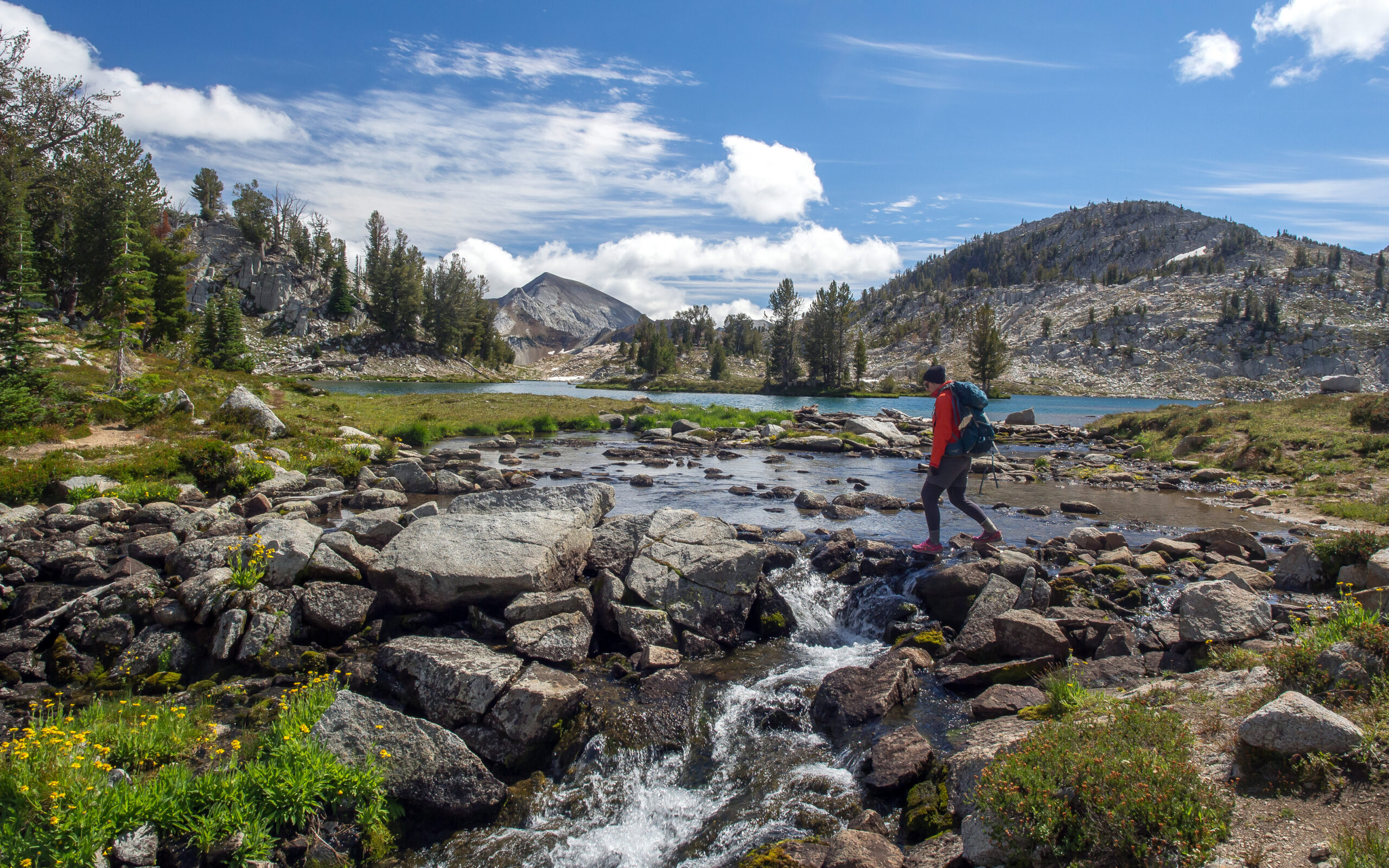
 The Eagle Cap Wilderness is the crown of the wildlands in the Wallowa Mountains, but additional roadless wildlands extend from and surround this designated Wilderness in the northeast corner of the state. These are popular and well-known entries to the Wallowas, where people come to backpack, hunt, and begin their Wilderness adventures. Clockwise from the north, these areas include:
 - The Huckleberry Mountain Roadless Area includes trails along Cougar Ridge, Big Canyon, and Bear Creek leading into the Wilderness. Pristine Deer Creek, Doc Creek, and Bear Creek flow out of the Wilderness into the Grande Ronde River, and are all proposed as Wild & Scenic Rivers under the River Democracy Act.
- South of the Imnaha River and the Hells Canyon National Recreation Area, wild lands, streams, and trails are found around Lake Fork Creek, Clear Creek, Fish Lake, and Sugarloaf Mountain.
- The forks and main stem of Eagle Creek flow to the south out of the high mountains, providing native fish habitat and wildlife corridors and popular recreation destinations.
- Catherine Creek’s forks flow west to the Grande Ronde, with a popular trail leading through old-growth forests and meadows, and Castle Ridge rises to the east of the Grande Ronde valley.
A huge increase in logging levels, coupled with removal of protections for large trees and roadless areas will combine to facilitate incursions into the intact wild lands of the Wallowas. Reopening old roads or building new ones to facilitate logging could spread invasive species and increase fire risk, putting natural ecosystems and recreational experiences of many people at risk. Areas where livestock grazing has been curbed thanks to riparian protections could see renewed damage to native vegetation and streams with the proposed action.
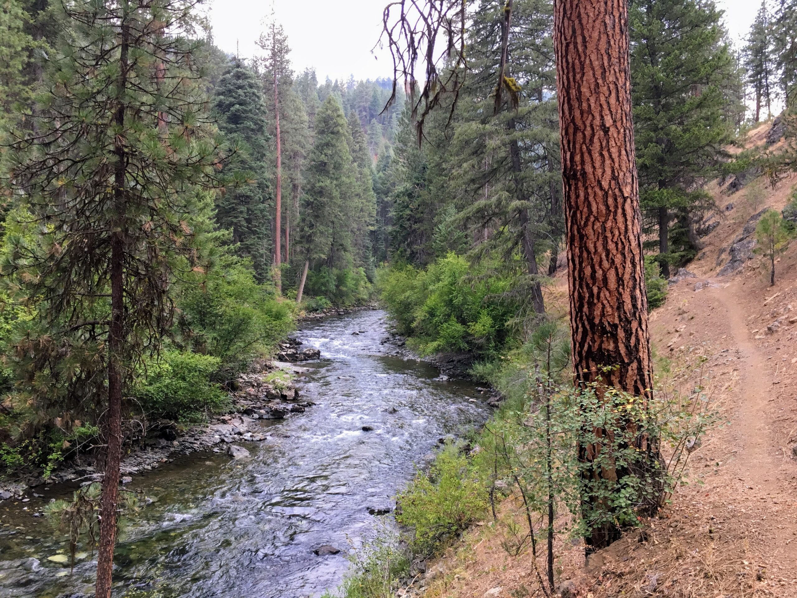
Photo of Eagle Creek by Chandra LeGue
Joseph Canyon
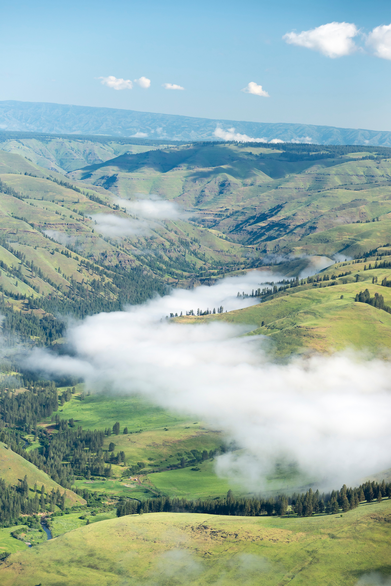 At a combined 45,000 acres, the rugged, remote roadless areas in the northeast corner of Oregon are rich in water, wildlife, and cultural values. The streams that flow into and form Joseph Canyon and the nearby Wildhorse Roadless area are vital headwaters of the world-famous Grande Ronde River, recognized by their inclusion in Senator Wyden’s River Democracy Act. A connector between the Rocky Mountains and Cascades, scientists have identified the area as a wildlife connectivity corridor of global importance – home to elk, bear, bighorn sheep, grey wolves, deer, and even moose. The area is also being considered as a reintroduction site for California Condor by the Nez Perce Tribe.
The area has significant cultural value to the Nez Perce Tribe. It is the birthplace of Chief Joseph, dense with archeological sites, hunting, fishing, and gathering grounds, and is adjacent to the tribally managed Precious Lands.
The Wallowa-Whitman National Forest already has several logging projects planned or ongoing in this area, including the controversial Lower Joseph project. Under Alternative 2 of the forest plan revision, the forests here could be subject to a massive amount of new logging and road development. Removal of protections under the Roadless Rule, eliminating large-diameter tree protections under the “Eastside screens”, and weakening of streamside protection standards will facilitate these harmful activities, harming wildlife, fish, water, and cultural values.
Photo of Joseph Canyon by Leon Werdinger
North Fork John Day River
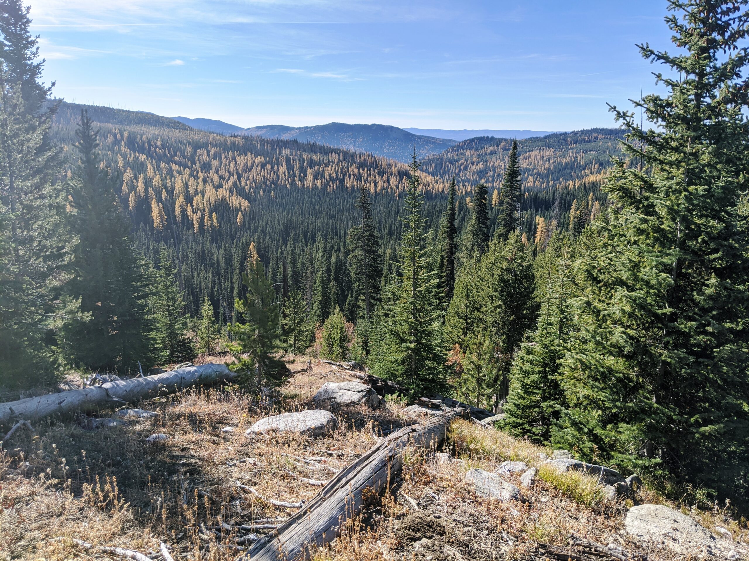
The North Fork John Day Wilderness, protected in 1984, is divided into four units within the watershed. Each unit is surrounded by more extensive wild lands without the same protections. Inventoried Roadless Areas currently protected by the Roadless Rule include the Forks of the Cable, Little Fly Creek, and Greenhorn, which shelter trout and steelhead streams like Cable Creek and Desolation Creek. These additional wild areas form important connections for wildlife between watersheds and mountain ranges.
Further downstream to the west, Potamus Creek and its surrounding wildlands pour important clean, cold water into the North Fork John Day River. A viewpoint on Potamus Point offers a great way to see the landscape’s connections.
Popular with hunters, anglers, and backcountry enthusiasts, the area offers opportunities to explore diverse habitats ranging from dense forests to subalpine meadows.
Elimination of protections for roadless areas and allowing increased logging and grazing in riparian areas will be especially harmful to the tributaries of the North Fork John Day. Wildlife habitat and corridors, also important to backcountry hunters, will be disrupted by increased fragmentation and activity due to roads and logging facilitated by the proposed plan revision.
Photo of Crawfish Creek landscape by Rob Klavins
Malheur Canyons
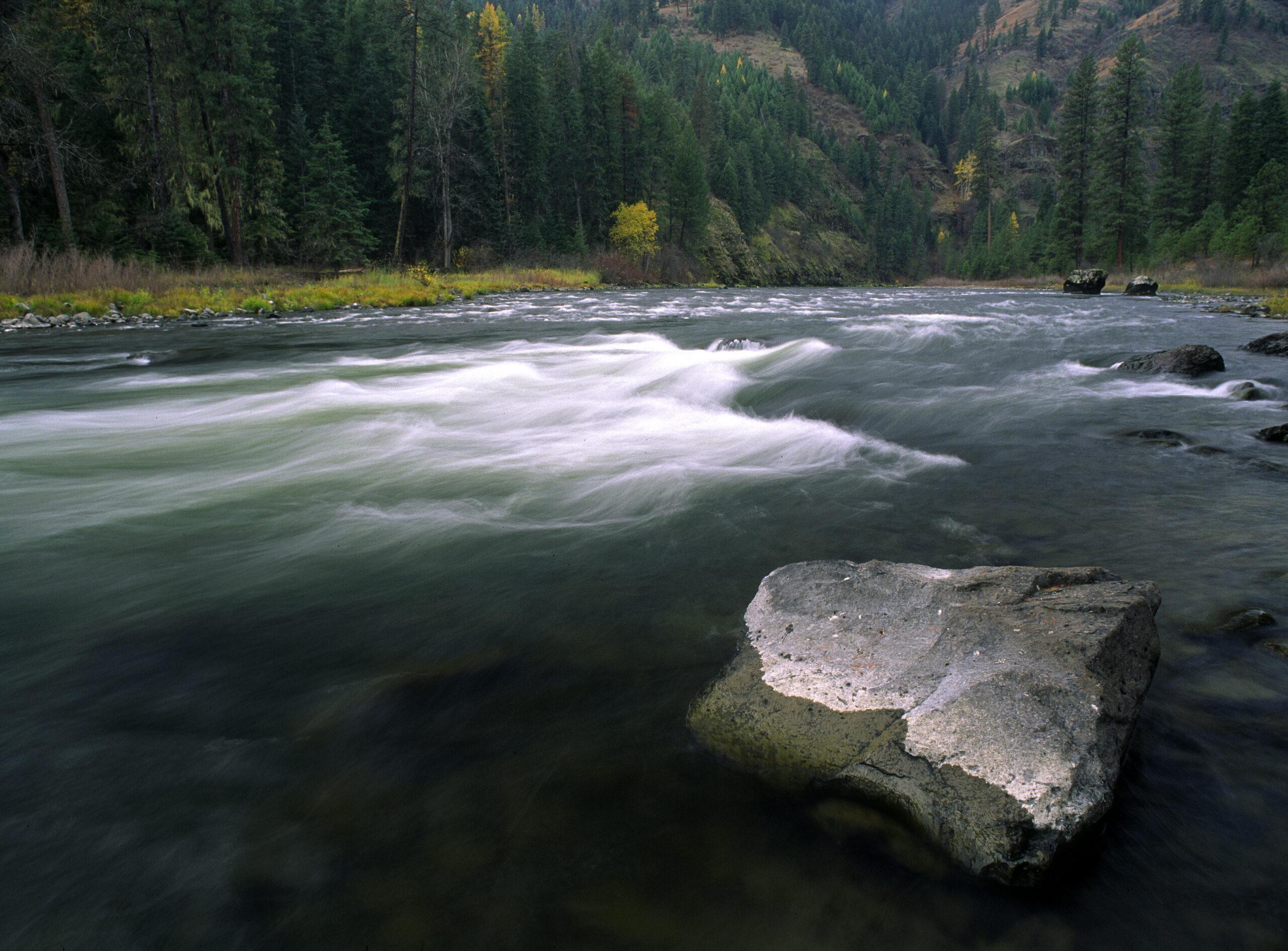
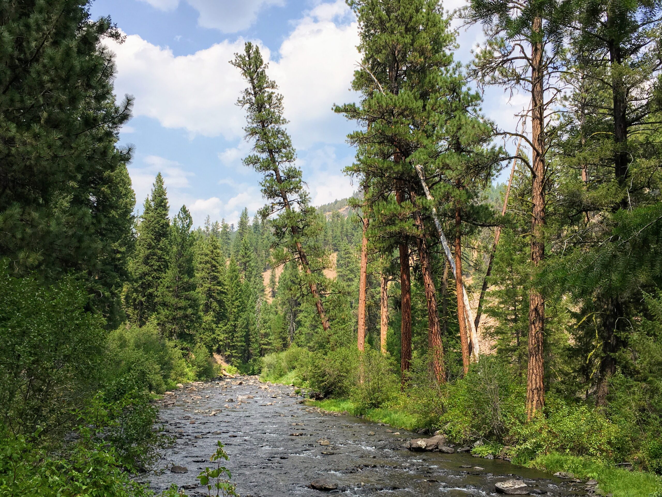 The roadless wildlands around Glacier Mountain and the North Fork Malheur lie between the nearby Strawberry Mountain and Monument Rock Wilderness areas, providing important habitat connectivity and a diversity of habitats. As a transition zone between forest and desert habitats, the North Fork Malheur River and tributaries also provide important connectivity for wildlife movement across the area and between seasonal habitats. A mix of Ponderosa pine and mixed conifer forests line the canyons of the designated Wild & Scenic Malheur and North Fork Malheur Rivers. The high quality, cold water that feed these two major rivers provides critical habitat for threatened bull trout. Some of these tributaries, including Sheep Creek, Crane Creek, and Summit Creek, are proposed as Wild & Scenic Rivers under the River Democracy Act. Campgrounds in the area serve as basecamps for excellent hunting, hiking, and horseback recreation activities. Outside of protected Wild & Scenic River corridors and Inventoried Roadless Areas the landscape has been subject to logging and grazing.
 Outside of designated roadless areas, much of the Malheur and North Fork Malheur Rivers’ landscape has already been heavily impacted by logging and livestock grazing. With a mandated increase in both, along with decreased protections for roadless areas and streamside habitat, further harm will be done to the remaining diverse and natural forests, to wildlife movement, and to bulltrout and redband trout habitat. Grazing damages fish habitat by removing streamside vegetation, which leads to soil erosion and collapsed streambanks that leave channels too wide and shallow to maintain the clean, cold water bull trout and other fish need to survive. Already, livestock have trampled bull trout nests in strongholds like Crane and Little Crane Creeks.
Photo of the Malheur River by Chandra LeGue
Elkhorn Crest & Anthony Lakes
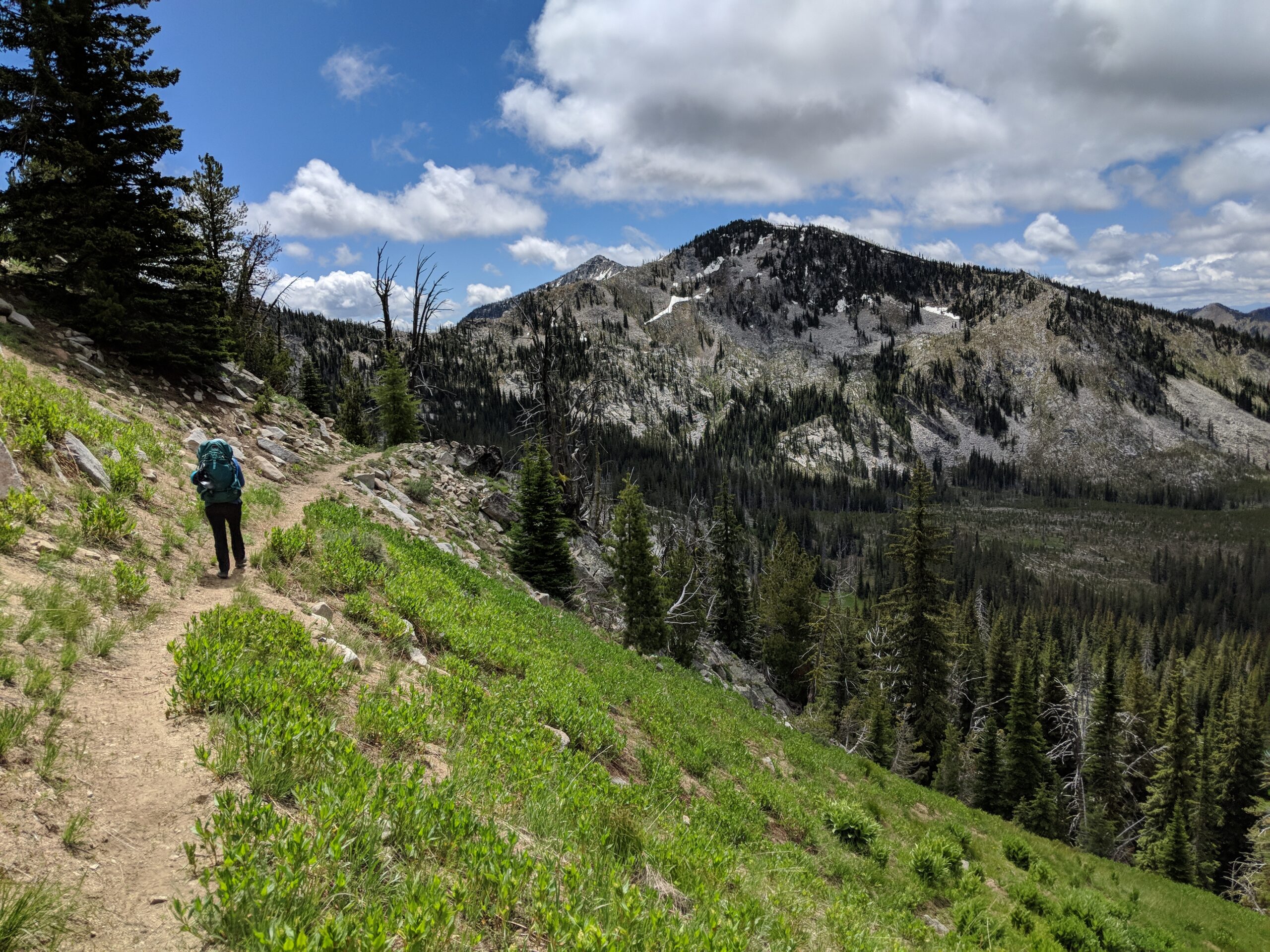 This wild landscape adjacent to the North Fork John Day Wilderness includes the 60,000-acre Twin Mountain Roadless Area. Several campgrounds and trails are accessed easily from Baker City and LaGrande. Known for the iconic Elkhorn Crest Trail and accessible Anthony Lakes ski area, this area offers incredible hiking, views, backpacking, winter sports, and angling opportunities. The diverse area includes striking geologic formations, unique and rare plants, and habitat for imperiled species including lynx and wolverine. Pristine waterways that feed the North Powder River system, including Van Patten and Rock Creeks, have been identified for proposed Wild & Scenic River designations.
Eliminating protections for designated roadless areas, while simultaneously increasing logging targets and facilitating new road building as laid out in Alternative 2 could open up this area to development harmful to recreation, wildlife, water quality, scenic views, and the local economy that depends on all of this.
Photo of Elkhorn Crest Trail by Jonathan Jelen
Key Staff
- John PersellStaff Attorney
- Doug HeikenSr. Conservation and Restoration Coordinator
- Lauren AndersonClimate Forests Program Manager
- Rob KlavinsNortheast Oregon Sr. Field Coordinator