
Highlights
Difficulty: Moderate
Distance: 5.4 miles round trip
Elevation Gain: 500 feet
Season: Year round
Notes: No parking fee is required, and there is a restroom at the trailhead in the campground.
About this Hike
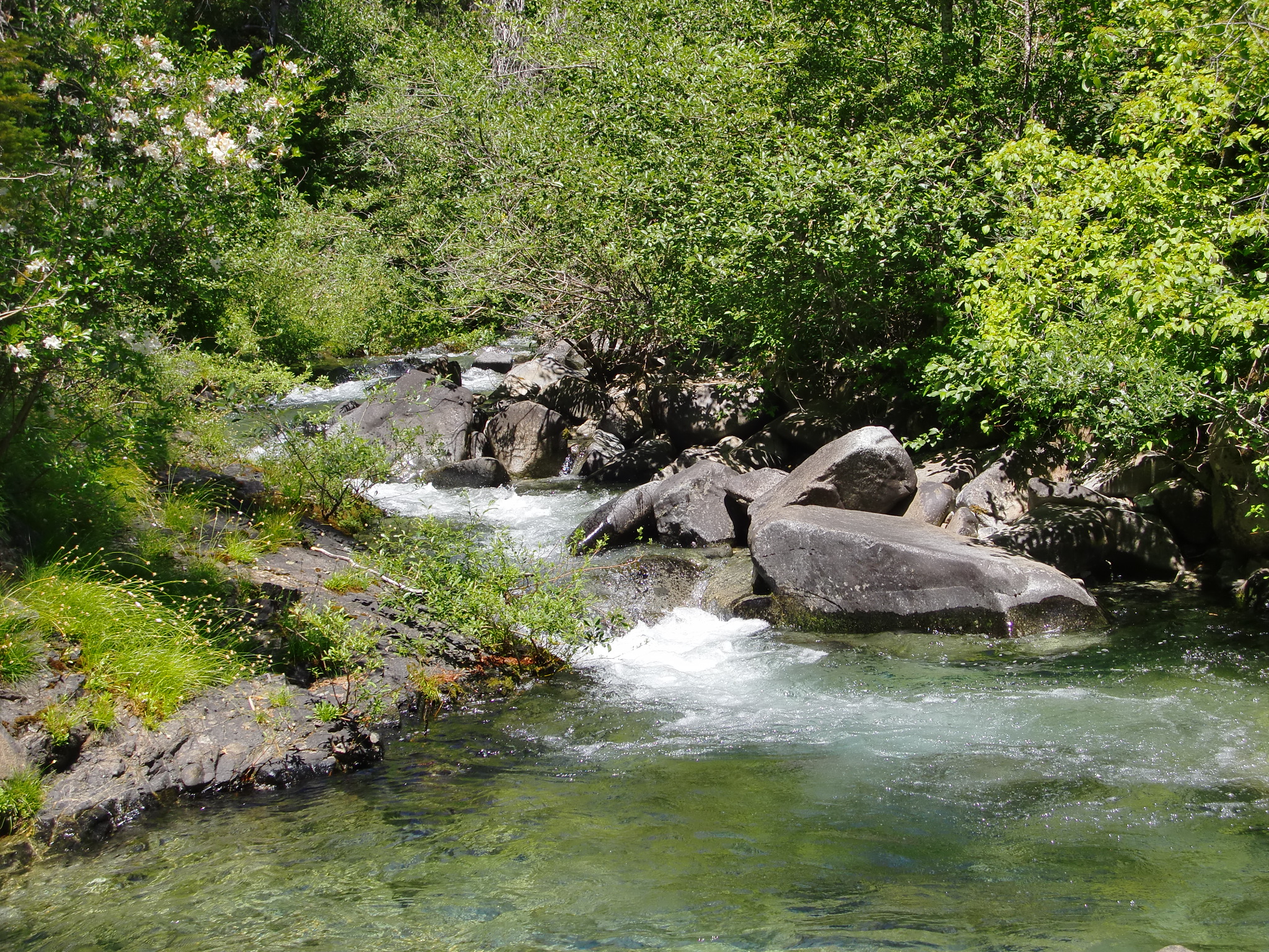
Briggs Creek and Horse Creek, both proposed as Wild & Scenic Rivers under the River Democracy Act, converge at the Sam Brown Campground and begin not far upstream. Briggs Creek takes on more tributaries from here as it flows to the Wild and Scenic Illinois River. The area has a history of both mining and logging. You can see signs of the old mining town that once thrived where the campground is today, and traces of mining camps, roads, and ditches along the trail. Numerous timber sales have been implemented in this area over the years, and you’ll find stumps and recovering clearcuts along the way. The current Upper Briggs timber sale project is also being implemented nearby. However, as you follow the trail further downstream, you’ll enter a large area protected by the Roadless Area Conservation Rule.
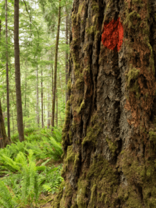
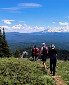
Find the trail from the campground and set off following the stream in a mixed conifer forest that includes large ponderosa pines. Woodland wildflowers line the path for part of the year. Cross Dutchy Creek in about 0.4 miles, and start to pass in and out of plantations regrowing from past logging. Notice the large diversity of tree species – from white and ponderosa pines to Douglas-fir and maples, to evergreen oaks and myrtle. In about 0.8 miles, turn left at the road you come to and follow it as you cross small “Brushy” Creek on rocks and continue as the road turns into more of a trail, proceeding straight at a junction. More unlogged old forest lines the trail, with some of the biggest trees sporting fire scars, and a lush and messy streamside forest. At some point, you’ll enter the roadless area – about 6,000 acres that surrounds Briggs Creek as it makes its way towards the Illinois River. By about 2 miles you’ll be hiking through a recovering burned area showcasing the mixed severity of fire that often occurs in forests like these. In a little over 2 miles you’ll find a large opening in the old Elkhorn Mine site. The trail continues downhill and eventually to a wide and rocky ford at about 2.6 miles, a good place to turn around.
Getting There
From I-5 just north of Grants Pass, take exit 61 for Merlin. Turn left at the light on Merlin Rd. After 3.4 miles, continue as the road becomes Galice Rd another 8.5 miles. After a bridge, turn left on paved but narrow Taylor Creek Road (Forest Road 25). Drive 13.4 miles, then turn right on Forest Road 2512, and go a quarter mile to turn left into Sam Brown Campground. The trailhead is about 45 mins to an hour from I-5.
Take Action
Maintaining protections for this area under the Roadless Rule is vital for forest recovery, wildlife habitat, and water quality. Take action here to defend the Roadless Rule, and support additional protections for Briggs Creek by becoming a citizen co-sponsor of the River Democracy Act here.