
Highlights
Difficulty: Moderate to Strenuous
Distance: Up to 8.6 miles round trip
Elevation Gain: Up to 1,450 feet
Season: Late spring to fall, wildflowers best in July
Notes: A parking fee or permit is required at the trailhead.
About this Hike
The campground and trailhead at North Fork Catherine Creek is a gateway to the extensive trail system in the southwest part of the Eagle Cap Wilderness. Forests along the North, Middle, and South Forks of Catherine Creek outside of the Eagle Cap Wilderness are not protected, and would be great additions to the Wild & Scenic Rivers system, as proposed in the River Democracy Act.
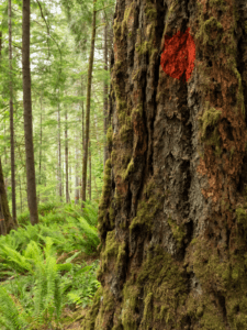
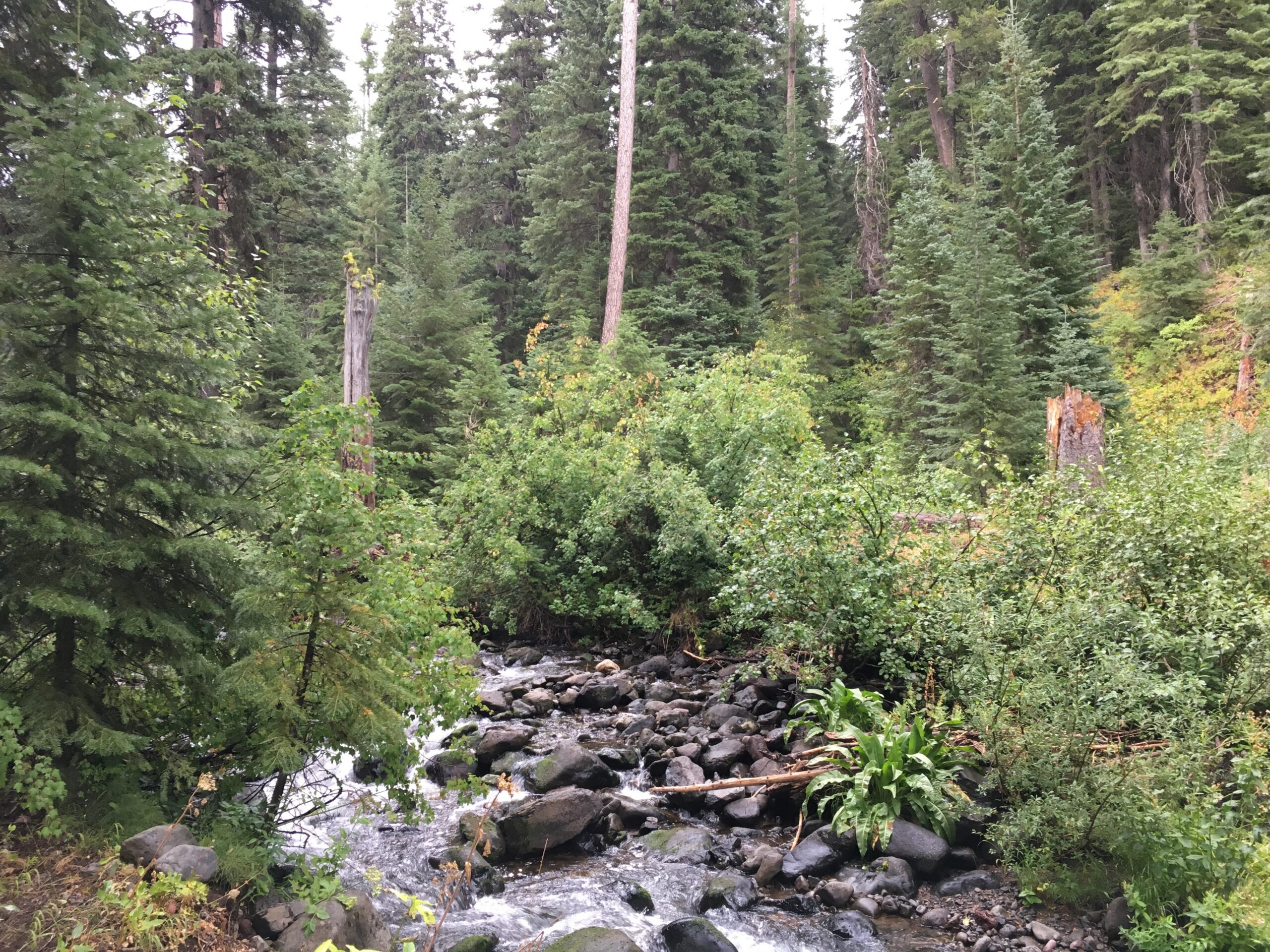
Find the trailhead near the group campground, and then climb to a bench above the creek, overlooking a lovely canyon with cottonwood, rocky mountain maple, Engelmann spruce, and other conifers. At just over 1.5 miles, cross over Catherine Creek on a bridge and climb with the creek now on the left up through a denser forest of larch, spruce, ponderosa pine, and fir. Huckleberries line the trail, and you get views across the stream’s canyon to the rocky slope on the other side. After 2 miles or so, the trail begins to cross some openings of lava rock dominated by disturbance-loving plants like larch, ceanothus, and fireweed. Less-rocky openings have more wildflowers, with conifer seedlings, alders, and cottonwood along their edges.
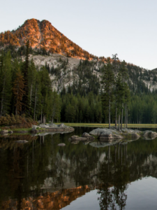
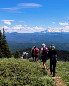
Just over 2.6 miles in, you officially enter the Eagle Cap Wilderness, and look down into a long wet meadow, part of the series leading to the largest meadows farther up the trail. The forest in this stretch is gorgeous, with scattered examples of really huge trees, which continues, broken up by the series of meadows, until you reach Catherine Creek Meadows–a great place to explore and rest before you head back.
Getting There
From Baker City, travel north on I-84 to exit 282 for OR 203 toward Medical Springs. After 24 miles, you’ll enter the national forest; at 27 miles turn right on gravel Catherine Creek Lane. Catherine Creek Lane turns into Forest Road 7785 after a half mile. Stay left to stay on FR 7785; about 3 miles later, cross into the national forest (again) and pass a sign for the North Fork Catherine Creek Recreation Area. Travel another 1.8 miles on this rather bumpy road to reach the trailhead. Don’t cross the bridge, but park in a big parking area near a restroom.
Take Action
Large extensions of roadless forests lie around the edge of the Eagle Cap Wilderness, including along this trail. Take action here to defend the Roadless Rule, and support additional protections for the forks of Catherine Creek by becoming a citizen co-sponsor of the River Democracy Act here.