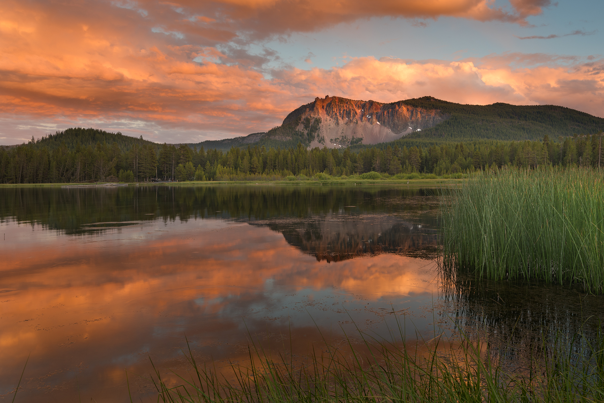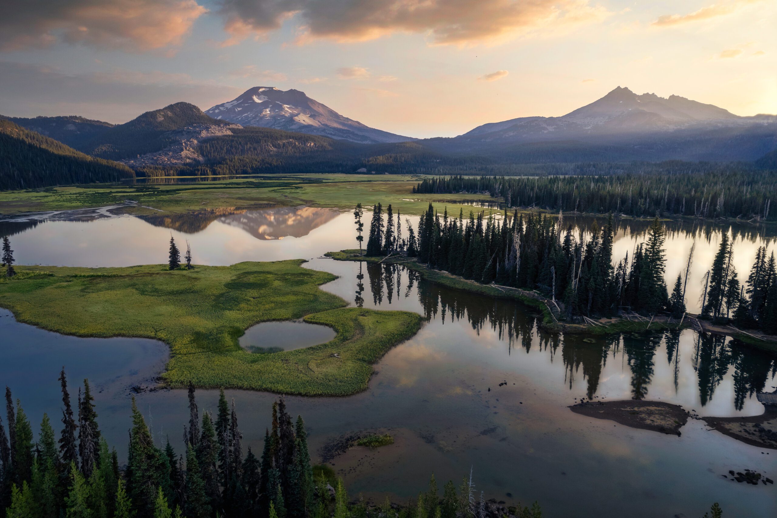

Nestled in the heart of northern Oregon, the John Day River watershed is a richly woven tapestry of natural wonders, deep geologic history, rugged scenery, and wild open spaces. From expansive roadless forests, to Wild & Scenic River canyons and the vibrant hues of the Painted Hills, the John Day watershed contains some of the most unique and wildest landscapes left in Oregon. These are public lands that provide immense values–fish and wildlife habitat, outdoor recreation, tourism, drinking water, and others–to local communities and ecosystems.
Fish and Wildlife Habitat
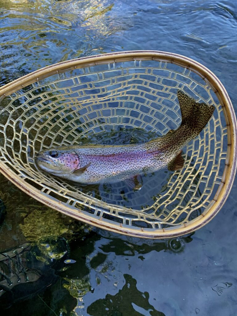
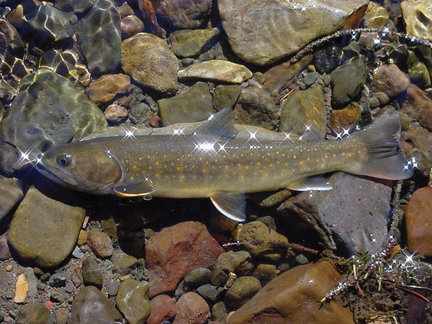
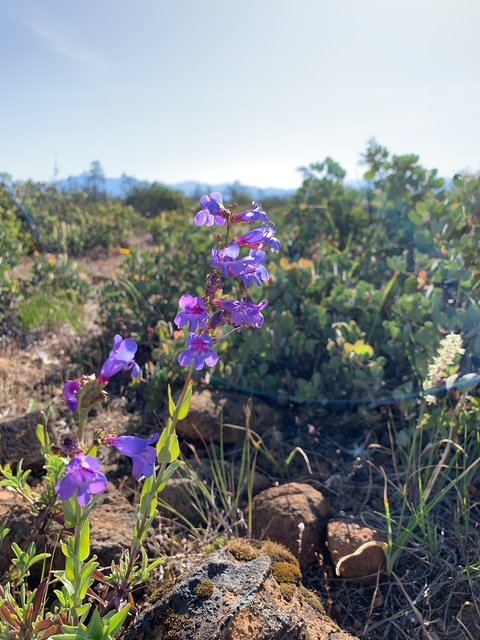
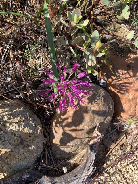
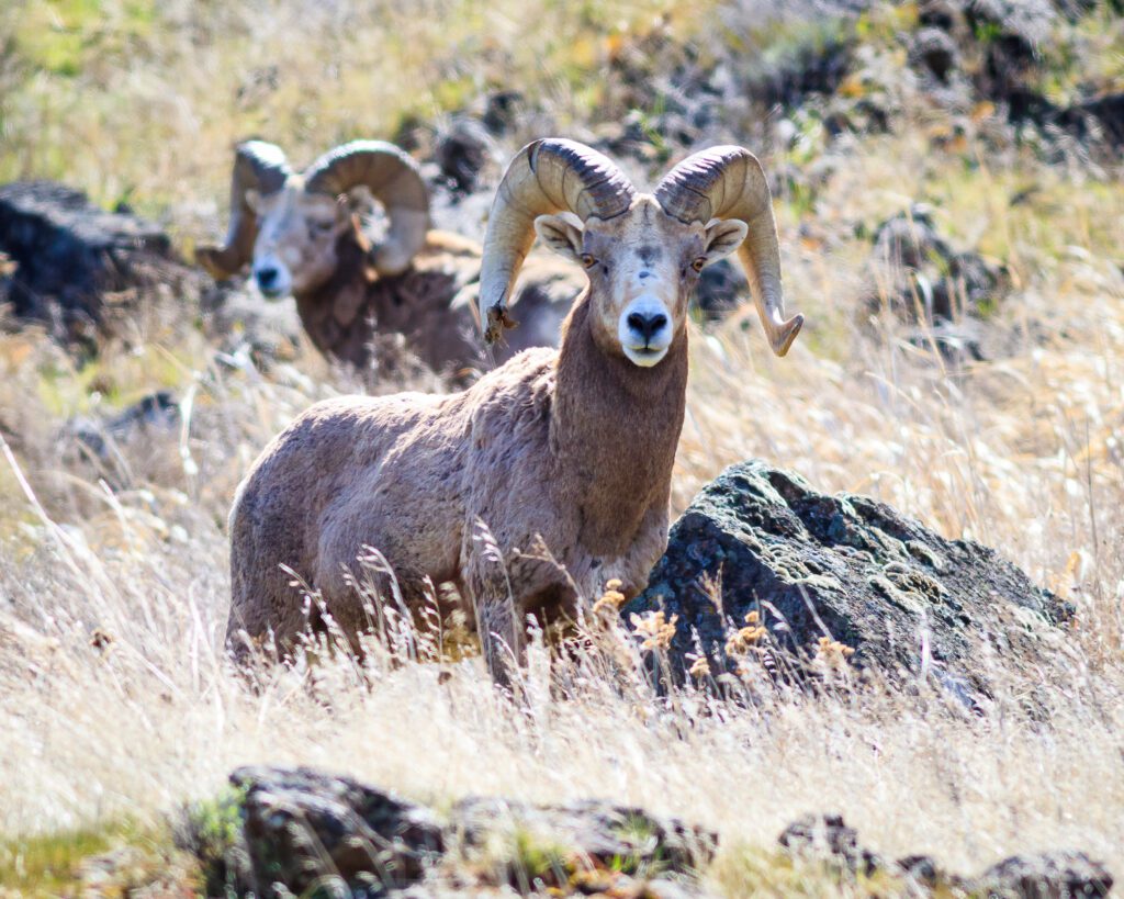
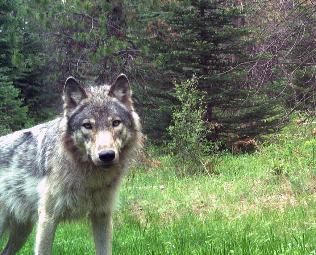
The streams, forests, mountains, canyonlands, and plains that make up the John Day watershed provide rich wildlife habitat and are home to a wide array of species like salmon and steelhead, bull trout, Rocky Mountain Bighorn sheep, Rocky Mountain elk, pronghorn, and wolves.
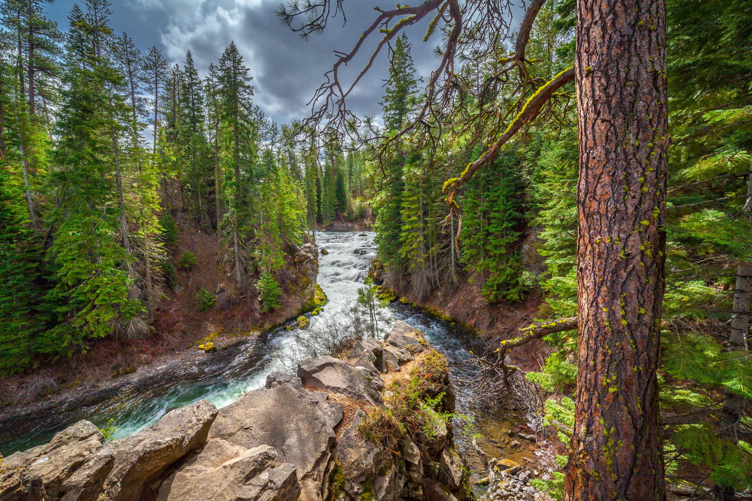
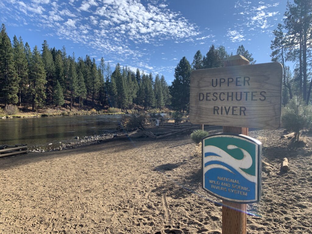
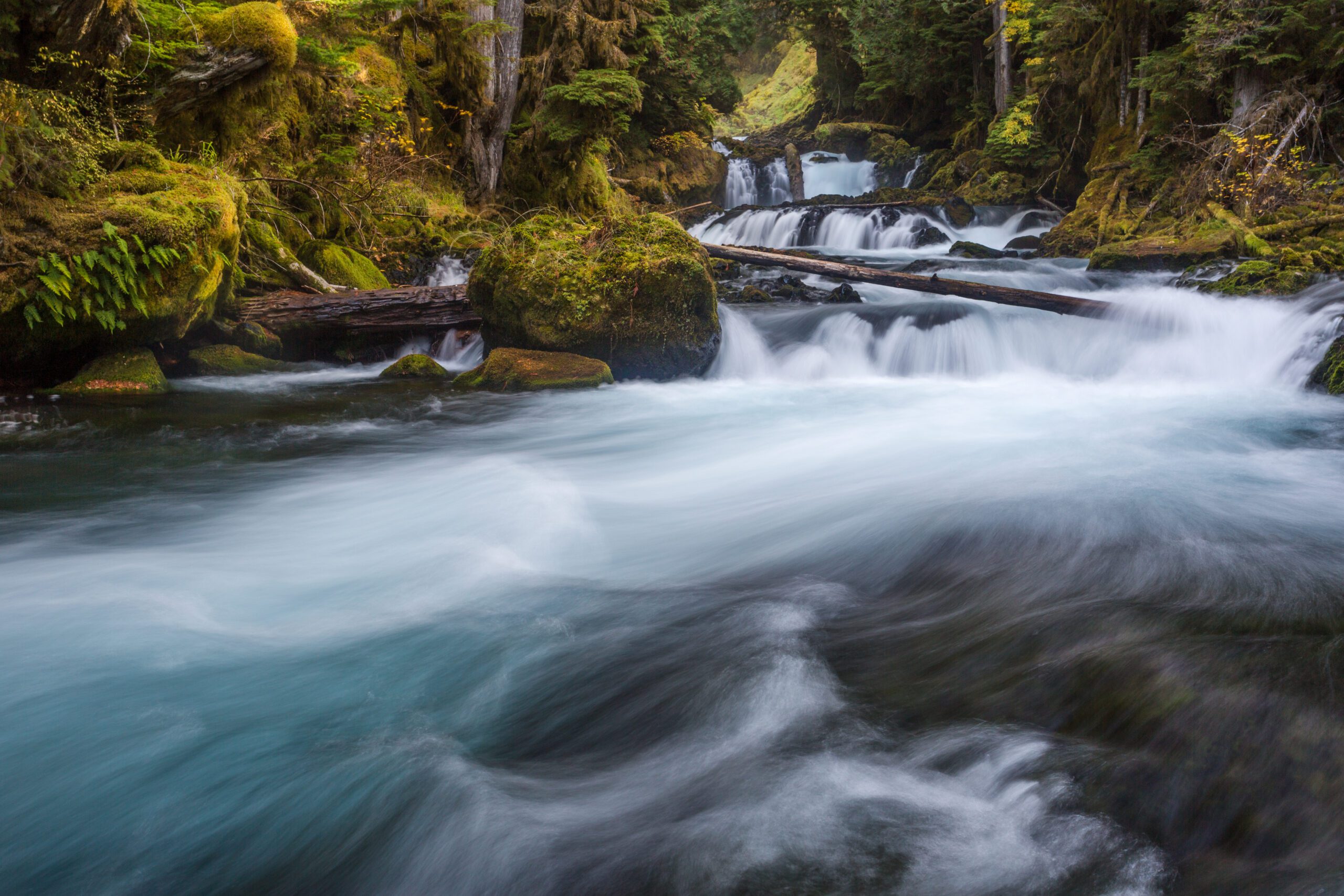
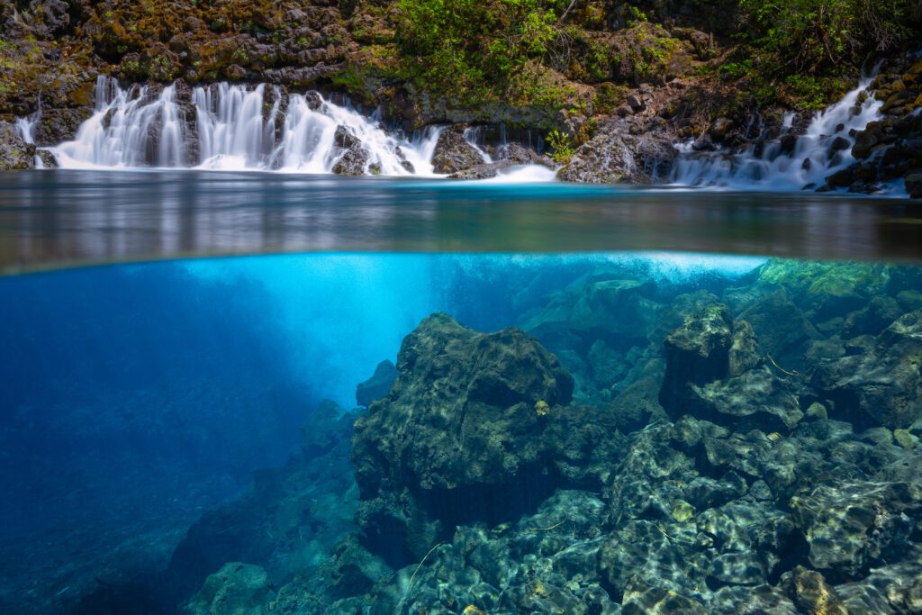
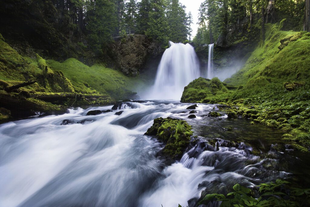
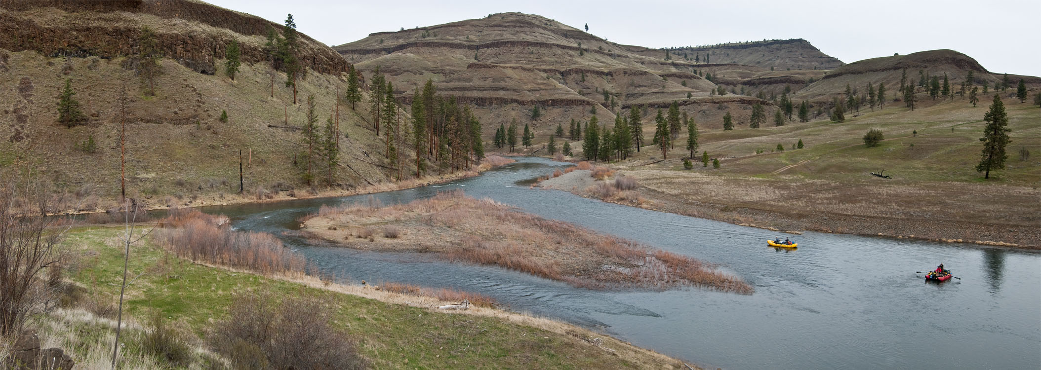
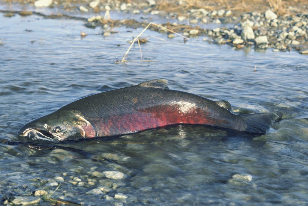
The John Day River is the longest free-flowing river in Oregon, allowing imperiled steelhead and Chinook salmon to travel unimpeded from the mouth of the river to their spawning grounds in the headwaters of the watershed. Because of the lack of dams and the abundance of wild, roadless public lands in its headwaters, the John Day watershed provides some of the best remaining wild spring Chinook salmon and summer steelhead habitat left in the state.
Despite the abundance of free-flowing streams, wild landscapes, and connected habitat, many of the iconic species in this region are imperiled. Chinook salmon, steelhead, bull trout, and wolves are among the species that are currently listed as threatened or endangered under the federal Endangered Species Act. Safeguarding and connecting intact public lands, key waterways, and critical migration corridors would help native wildlife thrive and move freely between preserved habitat areas.
Geology and Paleontology
The John Day region is perhaps most well-known for its remarkable geologic and paleontologic values, and the John Day Fossil Beds National Monument that brings this rich natural history to life for visitors.
Millions of years ago, the climate and landscape of the region looked much different, home to tropical plant-life, large volcanoes, and mammalian life resembling nothing like we know today. As the rocky canyons and colorful hills eroded over time, fossils became exposed to the surface. Today, the John Day Fossil Beds are home to one of the world’s most extensive fossil records for the Age of Mammals, preserved by the National Monument designation in 1975.
Watch our webcast with Dr. Nicholas Fomoso, Paleontology Program Manager for the John Day Fossil Beds National Monument, to learn more about the deep and complex natural history of the John Day watershed.
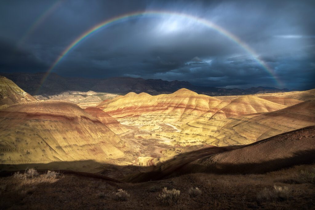
geology spotlight: Painted Hills
The Painted Hills Unit of the John Day Fossil Beds National Monument shows how the climate of the region evolved over time, resulting in layers of colors–vibrant reds, ochre yellows, and earthy browns–painted across the hillsides. The Painted Hills was named one the “7 Wonders of Oregon” by Travel Oregon. Photo by Matt Redfern.
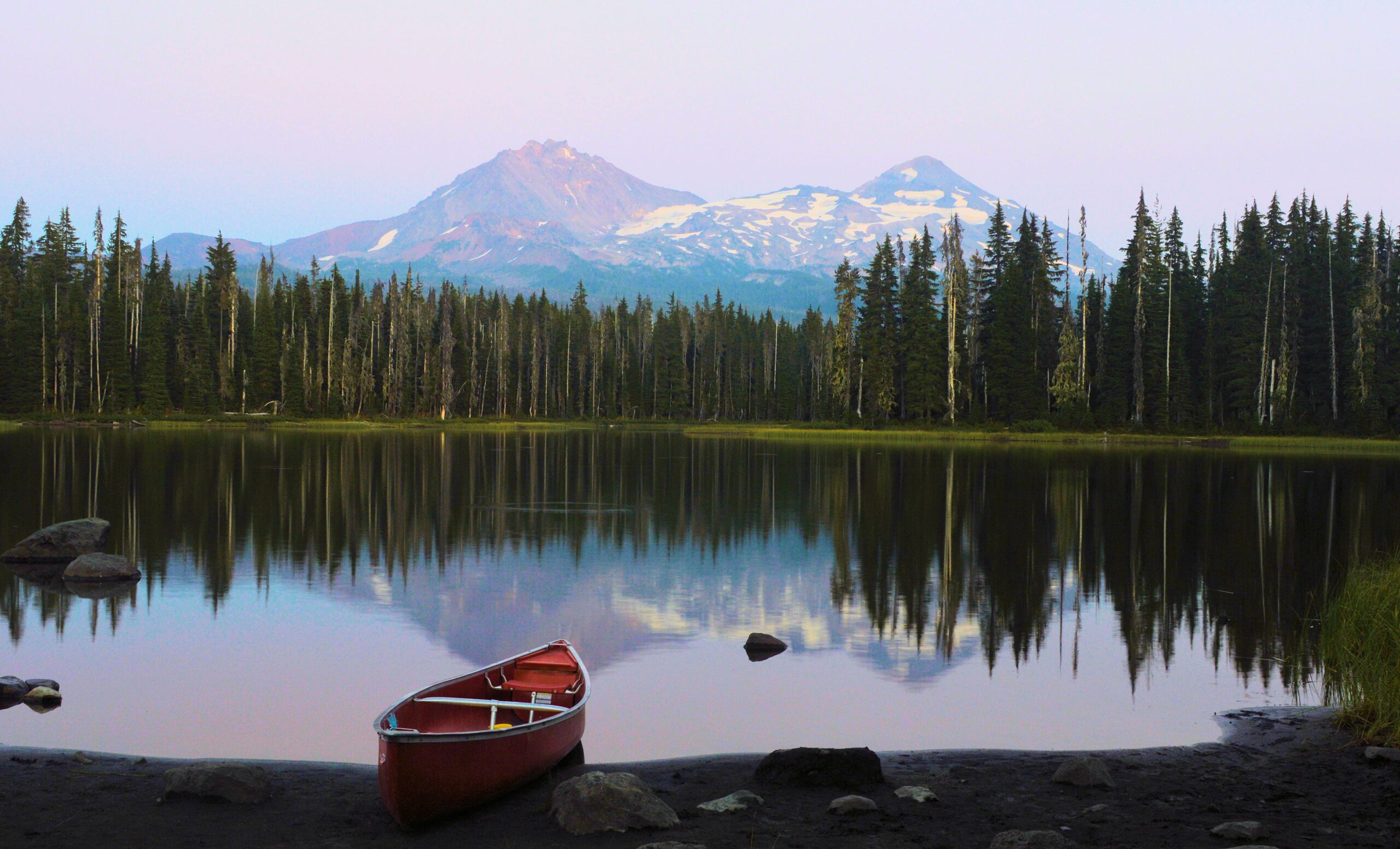
Outdoor Recreation
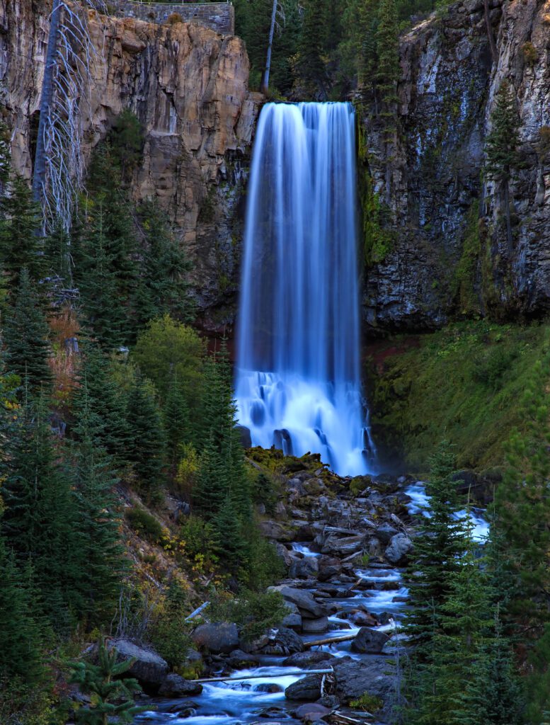
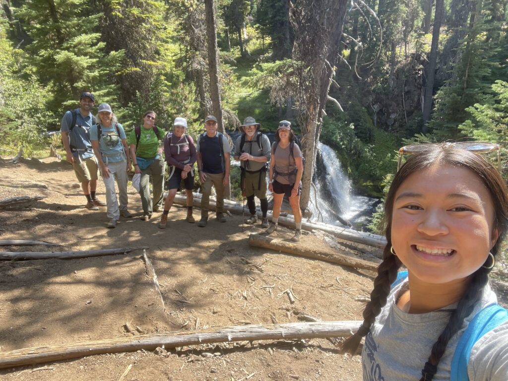
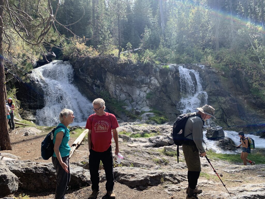
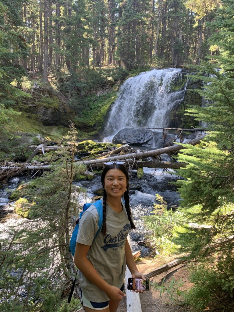
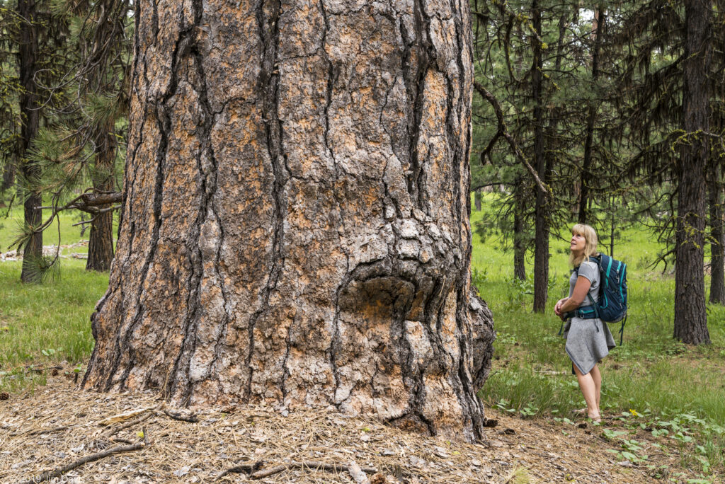
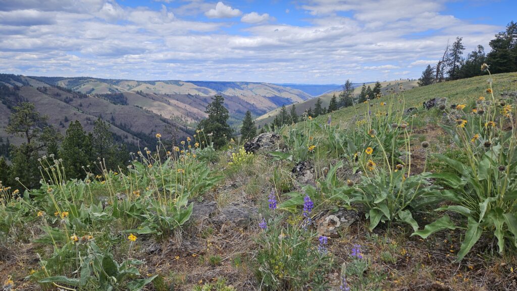
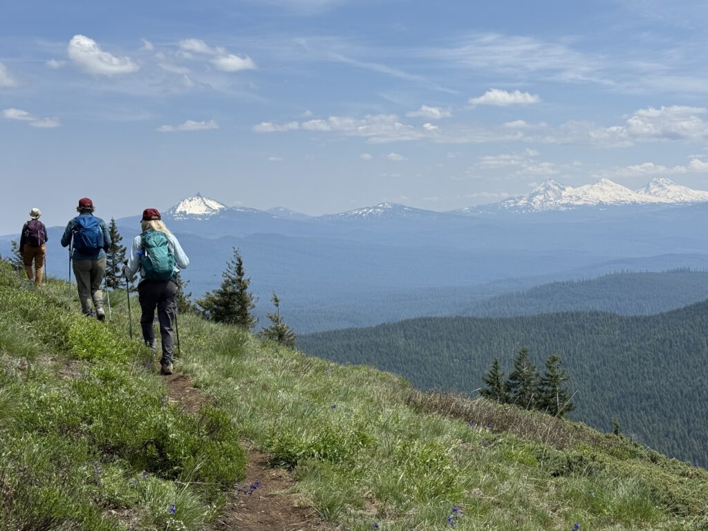
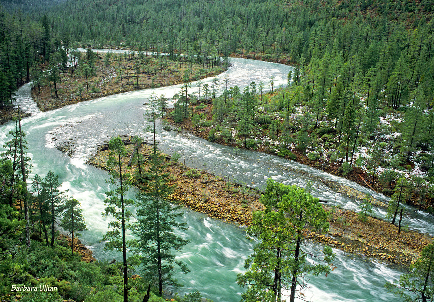
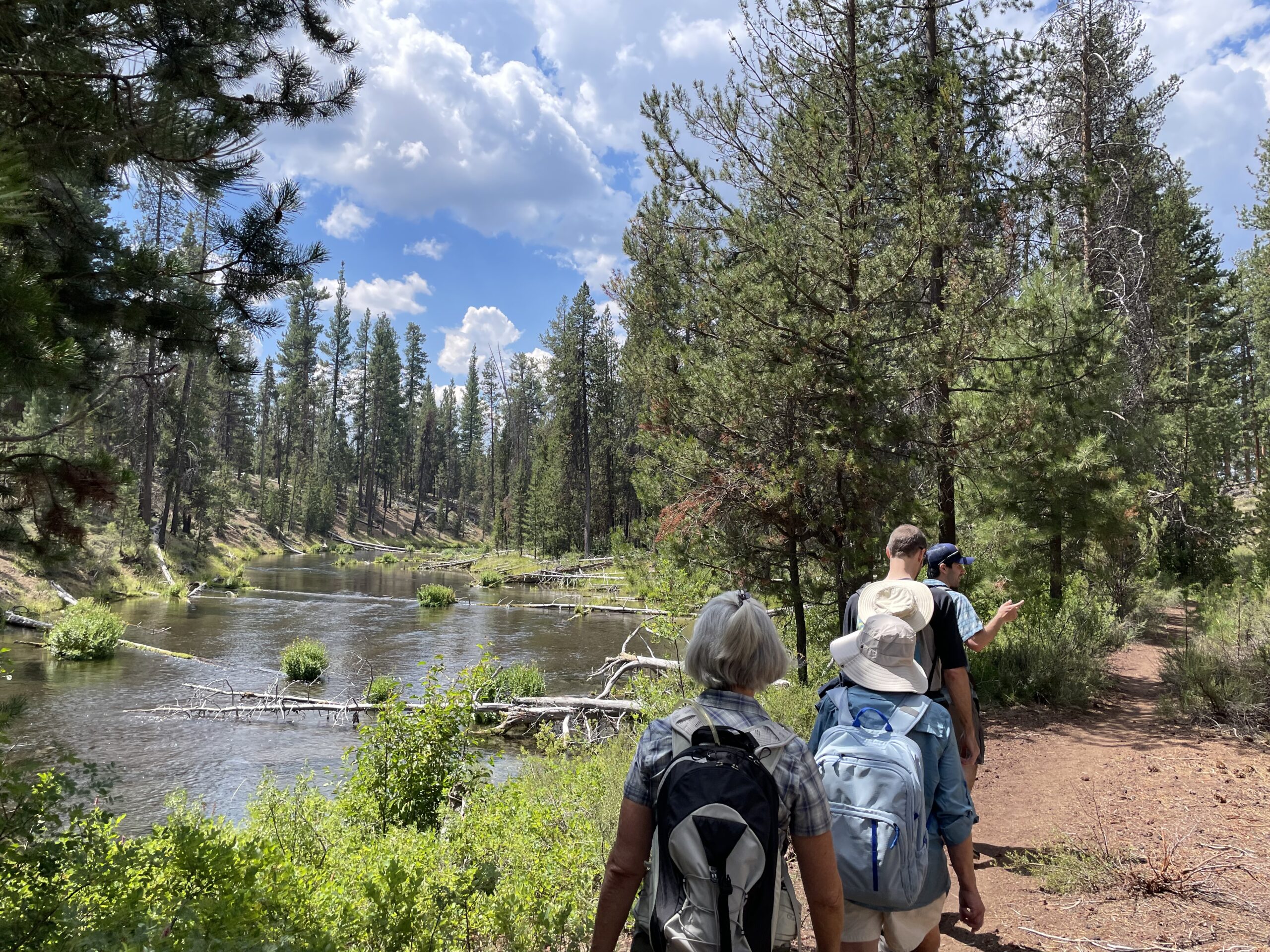
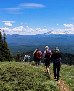
While the Fossil Beds National Monument is a major draw for visitors to the watershed, the surrounding public lands also provide incredible outdoor recreation opportunities for locals and visitors alike. There are few places in Oregon that feel as remote and wild as here. Fishing, whitewater rafting, hunting, camping, and hiking are all popular activities in the watershed and contribute greatly to the local economy.
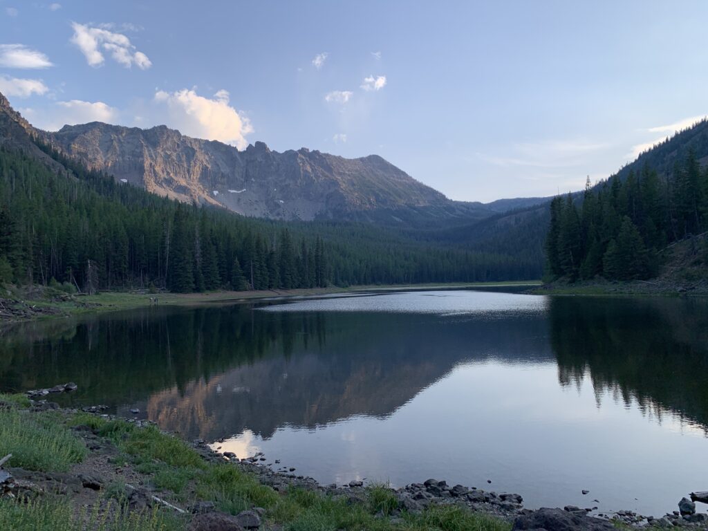
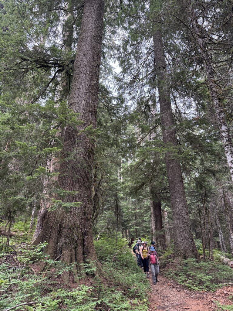
Recreation Spotlight: Strawberry Mountain wilderness
Some of the best hiking and backpacking in the watershed can be found in the Strawberry Mountain Wilderness. Hike into Strawberry Lake for an easy day hike and big views, or head up to Slide Lake or Little Strawberry Lake for an overnight trip.
Threats
In 1984, several wilderness areas in the watershed were established and expanded as part of the Oregon Wilderness Act of 1984, including the iconic Strawberry Mountains, the North Fork John Day Wilderness, and Black Canyon. In 1988, the lower John Day River, South Fork John Day River, and portions of the North Fork John Day River were designated as Wild & Scenic Rivers and protected under the National Wild & Scenic River System.
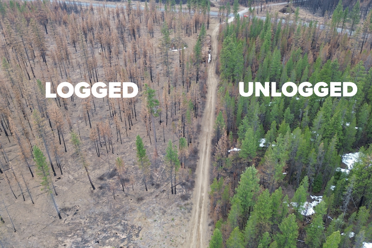
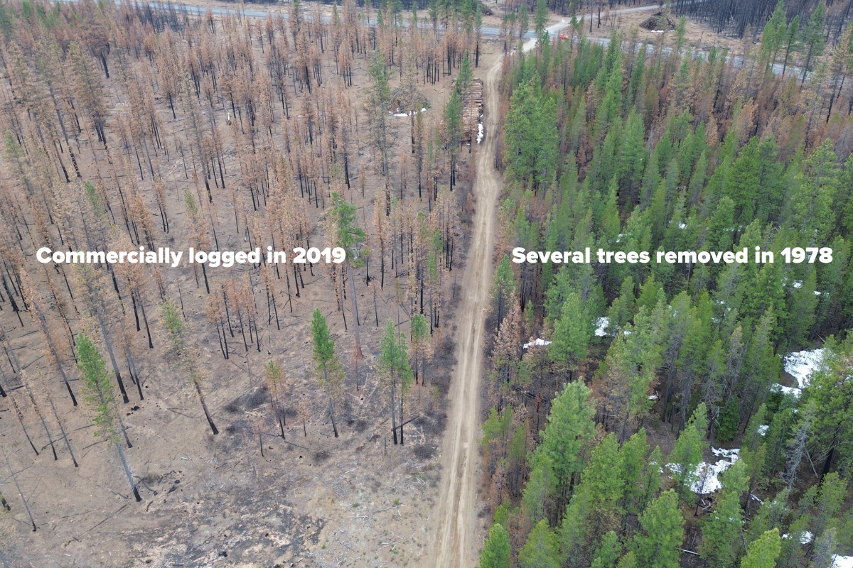
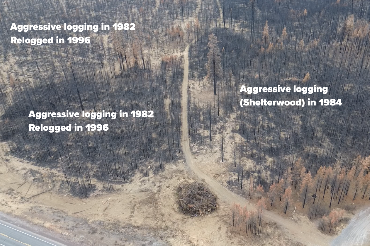
However, much of the remaining watershed remains unprotected and threatened by resource extraction, climate change, and a seismic shift in federal policy and local management.
The impacts of climate change–warmer temperatures and longer droughts, coupled with unsustainable water use and logging, is threatening the water quantity and quality of the John Day River and its tributaries. This has led to extremely low flows and high water temperatures during the summer months, severely impacting threatened salmon, steelhead, and bull trout populations that rely on cold, clean water. During particularly dry years, the John Day River almost completely dries up in sections, impeding salmon and steelhead migration.
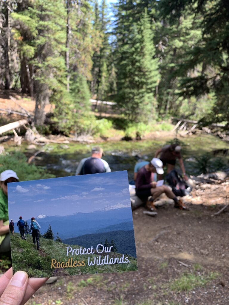
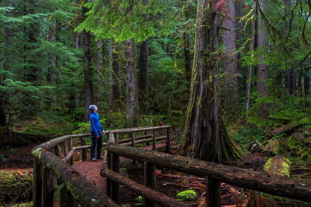
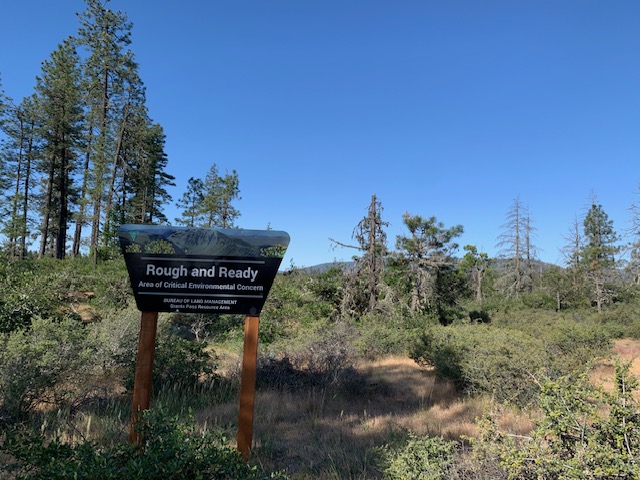
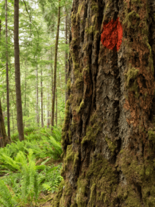
In the summer of 2025, the Trump Administration announced its plan to repeal the 2001 Roadless Area Conservation Rule. The rule protects nearly 60 million acres of wild, intact public lands across the country, including 2 million acres in Oregon, from new roads, commercial logging, and other industrial activities and development. The John Day River watershed includes several large roadless areas that provide important fish and wildlife habitat, opportunities for outdoor recreation experiences, and clean drinking water to downstream communities. If the Roadless Rule is repealed, all of these places would lose these critical protections and be opened up to logging and development.
The administration is also currently in the process of weakening protections for wild landscapes and wildlife habitat for 5.5 million acres across the Malheur, Umatilla, and Wallowa-Whitman National Forests of the Blue Mountains. These forests cover a large part of the upper John Day–the river’s headwaters–and the Blue Mountains Forest Plan revisions will determine which areas are prioritized for natural and cultural values like clean water, recreation, salmon, wildlife, quality of life, and carbon storage, and which are prioritized for logging, livestock grazing, road building, and extraction. Unfortunately, the process so far has leaned towards less protection and more extraction.
A Path Forward
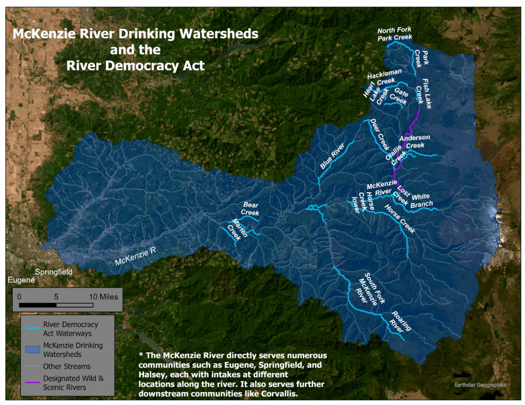
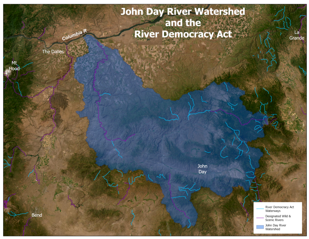
The River Democracy Act, co-sponsored by Senators Ron Wyden and Jeff Merkley, would designate several important headwater streams and tributaries in the John Day watershed as Wild & Scenic Rivers, providing additional safeguards for water quality, fish and wildlife habitat, and outdoor recreation opportunities.
In total, this historic bill would protect over 3,200 miles of rivers and millions of acres of public lands all across Oregon.
Destructive activities like mining and dam building are prohibited in and along Wild & Scenic Rivers, and other projects like commercial logging and road-building that negatively impact the landscape are tightly regulated so as to not degrade the river and river values. The River Democracy Act extends these safeguards a half-mile from each river bank, offering enhanced protections for critical waterways and watersheds.
Streams proposed for protection in the John Day watershed include portions of the North, Middle, and South Forks of the John Day, as well as many important tributaries like Murderers Creek, Desolation Creek, Thirtymile Creek, and Bridge Creek, which flows past the Painted Hills before joining the John Day River.
Oregon Wild, our partners, and the American public are also fighting to ensure the Roadless Rule, and the important protections it provides to treasured public landscapes across the nation, remain in place. During a short 21-day public comment period in September 2025 on the administration’s proposal, over 600,000 Americans submitted public comments, with over 99% of comments opposed to rescinding the Roadless Rule. Despite this overwhelming, near-unanimous public support for roadless area protections, the Trump Administration is still determined to repeal the rule.
While we pressure the administration to abandon this attack on the Roadless Rule, we are also focused on passing legislative protections for roadless areas through Congress. The Roadless Area Conservation Act (RACA) would codify the Roadless Rule into law, creating lasting protections for these places that can’t be undone by this–or a future–administration.
Take Action
It’s up to all of us to defend our treasured public lands, wild watersheds, and endangered landscapes.
Support the John Day watershed, and all of Oregon’s watersheds, by becoming a Citizen Co-sponsor of the River Democracy Act and urging your members of Congress to pass this important bill.
Tell your elected leaders to oppose the Roadless Rule repeal and support the Roadless Area Conservation Act, so that our last remaining intact public forests remain unroaded, unlogged, and forever wild.