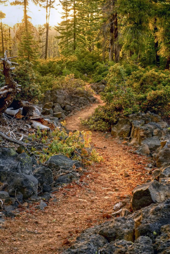
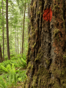
Some of Oregon’s best hikes can be found within the 2 million acres of wild areas protected from development by the Roadless Area Conservation Rule – from the coast to the Cascades to the Snake River. But these places are under attack. The Trump administration’s proposal to repeal the policy that safeguards these places from road building and extractive logging and mining could mean irreversible damage to fish and wildlife habitat, clean drinking water, and your favorite recreation area.
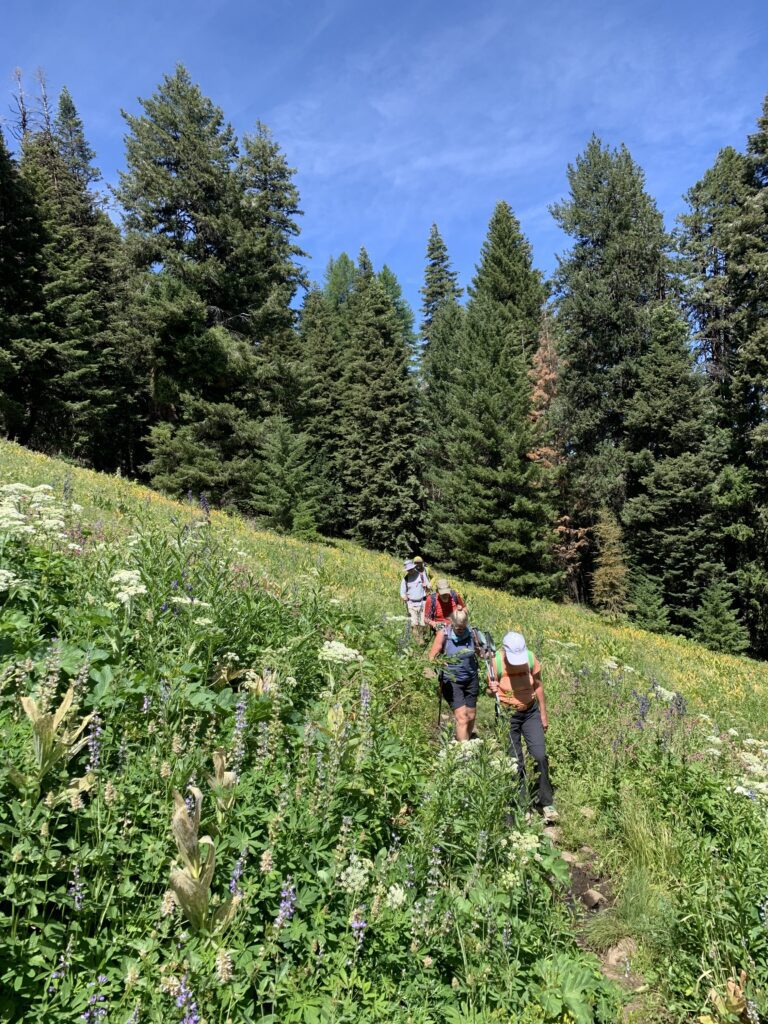
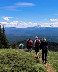
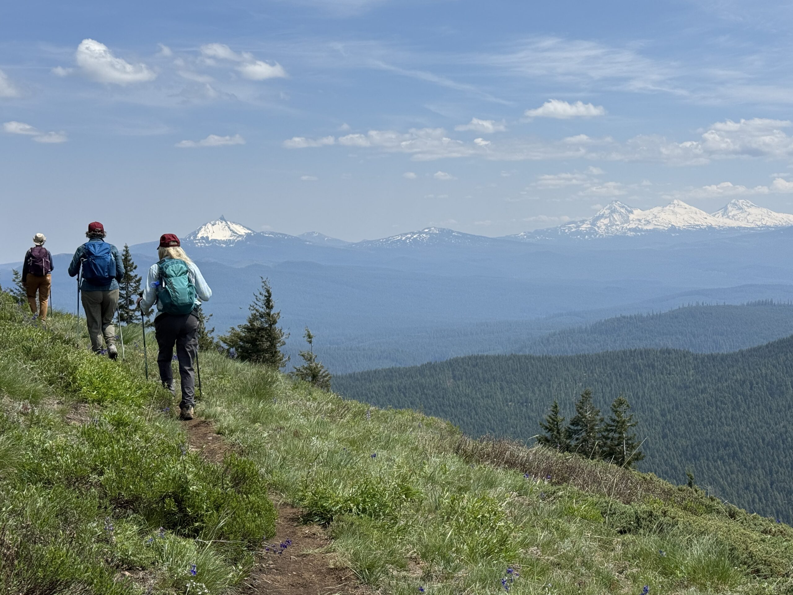
Defending the Roadless Rule is one of Oregon Wild’s priority campaigns, and we think one of the best ways to inspire action is by helping you experience our roadless areas for yourself. Check out our suggestions for hikes in protected roadless areas, sign up to join us on a guided hike, and get inspired to take action and speak up for protecting these special places!
Let’s get hiking!
- Before you head out on a hike, be sure to download a good map, and be well prepared. Check out Oregon Wild’s resource library for what you need to know.
- Use this interactive map to zoom in and find trails in roadless areas all over the state.
- Oregon Wild staff also lead guided hikes throughout the year, including some roadless areas. Check here for upcoming guided hikes.
Regions
-
Northwestern Oregon
NameDifficultySeasonAttractionsRoadless Area InformationStrenuousLate spring, summer, fallOld-growth, close to Portland2,200 acre roadless area adjacent to protected WIldernessEasySpring, summer, fallFamily friendly, great view of Mount HoodThe west side of the lake is a small roadless area adjacent to the Bull Run watershedEasyAll yearAncient forest along beautiful riverSurrounded by the Salmon-Huckleberry Wilderness, the Salmon River Giants is a small roadless pocketModerateSpring, summer, fallBeautiful falls on the east side of Mount HoodPart of a roadless extension of the Mt. Hood Wilderness we have been working to protect for decades
-
Coast/Coast Range
NameDifficultySeasonAttractionsRoadless Area InformationEasy – ModerateAll yearHike over shifting coastal sand dunesPart of a complex of roadless areas totaling 21,000 acresModerate-StrenuousAll yearWildflowers and potential views of both the Pacific Ocean and Cascade peaksOne of the Coast Range’s only roadless areas, with numerous proposed Wild & Scenic Rivers
-
Central Cascades
NameDifficultySeasonAttractionsRoadless Area InformationStrenuousJune-SeptemberWildflowers, diverse forests, and epic views make this a popular early summer hike.The 8,000 acre Echo Mountain Roadless Area also includes Iron and Crescent MountainsModerateJune-OctoberOld-growth forest, wildflowersIn the nearly 9,500 acre Gordon Meadows Roadless AreaEasy – ModerateMay–OctoberHuge springs, lava crossings, and a beautiful old-growth forest of Douglas-fir and mountain hemlockThe east side of Clear Lake is within a large roadless area extension of the Mount Washington WildernessModerateJune–JulyMagnificent old-growth forest, grassy meadows bursting with wildflowers and impressive rock bluffsEugene’s “backyard wilderness” at nearly 7,000 acresModerateJune-OctoberAncient forests and swimmable lakesThe PCT traverses the huge (36,000 acre) Maiden Peak Roadless Area
-
Northeast Oregon
NameDifficultySeasonAttractionsRoadless Area InformationEasyJuly to OctoberShort hike with great views of Van Patten Peak near Anthony Lakes ski areaPart of the Elkhorn Crest, in the 60,000 acre Twin Mountain roadless area protected by Roadless RuleModerate – StrenuousLate spring—fall, depending on sectionOreogn’s newest long-distance trail linking diverse ecosystems and landscapesTraverses several roadless areas throughout the Blue MountainsModerate – StrenuousLate spring- late fallLovely creek-side hikeThe 11,278 acre Huckleberry Roadless Area is a northern gateway to the Eagle Cap WildernessModerate-StrenuousLate spring-fall, best wildflowers in JulyDiverse ancient forests, wildflower meadowsThe Upper Catherine Creek Roadless Area is 6,500 acres on the west side of the Eagle Cap Wilderness
-
Southwest Oregon
NameDifficultySeasonAttractionsRoadless Area InformationModerateAll yearViews of the Siskiyou Crest and Applegate Lake, passing inactive Big Foot TrapTraverses the 7,500 acre Kinney Mountain Roadless Area in the upper Applegate watershedMiller Lake (coming soon)ModerateSummer & fallUnique trees species, lake, and viewsWithin the nearly 20,000 acre Kangaroo Roadless Area on the Siskiyou CrestModerateAll yearA pretty streamside trail passes through diverse forests.Almost 6,000 acres between the Rogue and Illinois Rivers
-
Southern Cascades
NameDifficultySeasonAttractionsRoadless Area InformationEasySummerGiant trees and a peaceful lakeThe 6,600 acre Bulldog Rock Roadless Area wraps around this important headwaters areaModerateLate June–OctoberOld-growth forest, wildflower meadows, mountain views, and serene lakesIn the heart of the 15,700 acre Calf-Copeland Roadless area that spans the North and South Umpqua River watershedsModerate-StrenuousSummer to fallBeautiful wildflowers, Lake of the Woods, Fish Lake, and impressive lava flowsThe PCT traverses the 7,800 acre Brown Mountain Roadless Area
-
Central Oregon
NameDifficultySeasonAttractionsRoadless Area InformationModerate-StrenuousSummer and fallWaterfalls, cascading streams, and beautiful forestsThe 14,800 acre Tumalo Mountain Roadless Area is the source of Bend’s drinking waterCascade LakesAnyYear-round depending on activityHuge range of recreation opportunities, mountain viewsSurrounding Mount Bachelor, this 26,000 acre Roadless Area is a recreation destinationStrenuousSummer and fallAncient forests, wildflowers, and a plateau with stunning views in the heart of the Ochoco MountainsLookout Mountains’ 14,000 acre Roadless Area lies in the heart of the Ochoco MountainsStrenuousJuly–NovemberConiferous forest, summit with mountain viewsThis 22,000 acre roadless area stands alone above the Klamath basinModerateMay to DecemberScenic walk within canyon walls along banks of the Malheur Wild and Scenic River, lined with old-growth trees7,300 acres surround the Malheur Wild & Scenic River
Learn more and take action
- Learn more about the Roadless Rule and its proposed repeal and how to take action
- Take action to defend wild, roadless areas: Send a letter to Congress about supporting the Roadless Area Conservation Act (RACA)